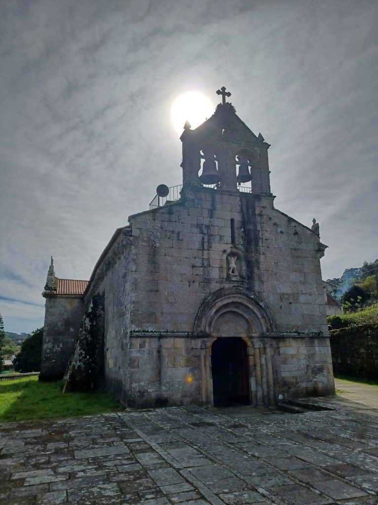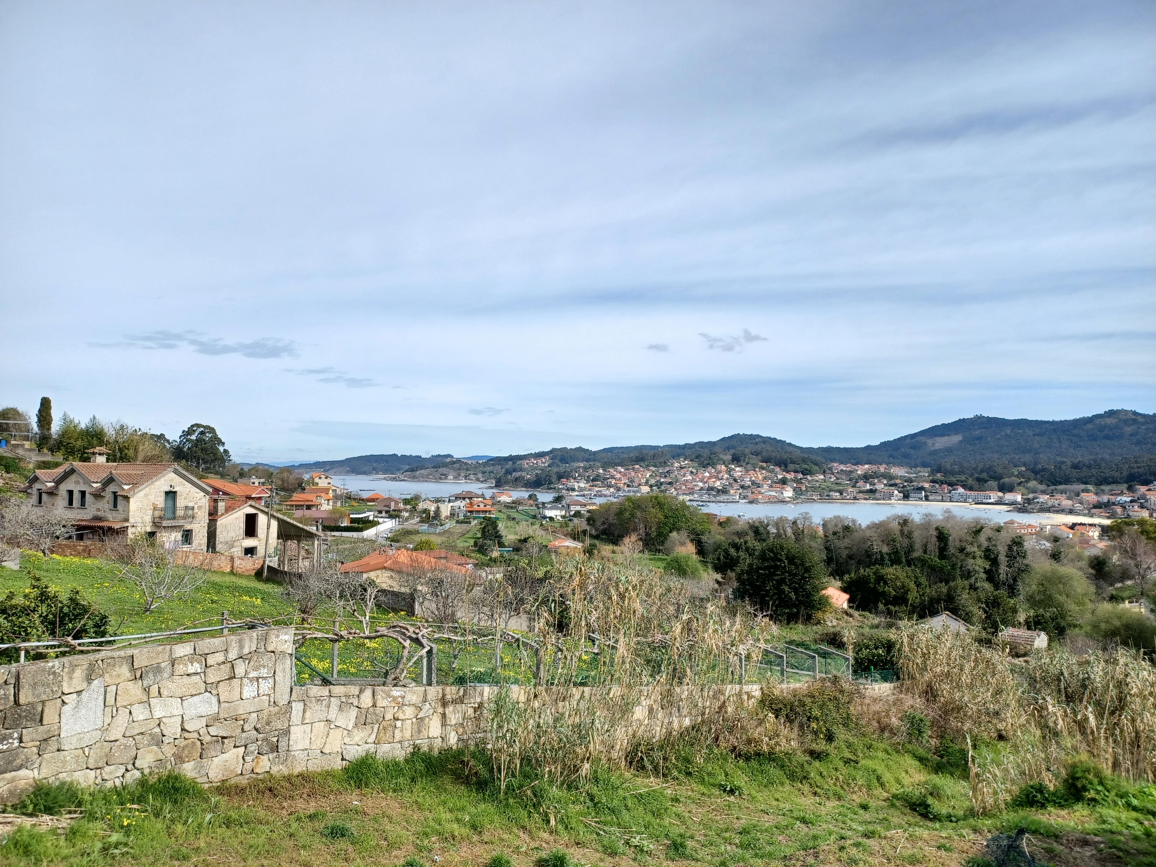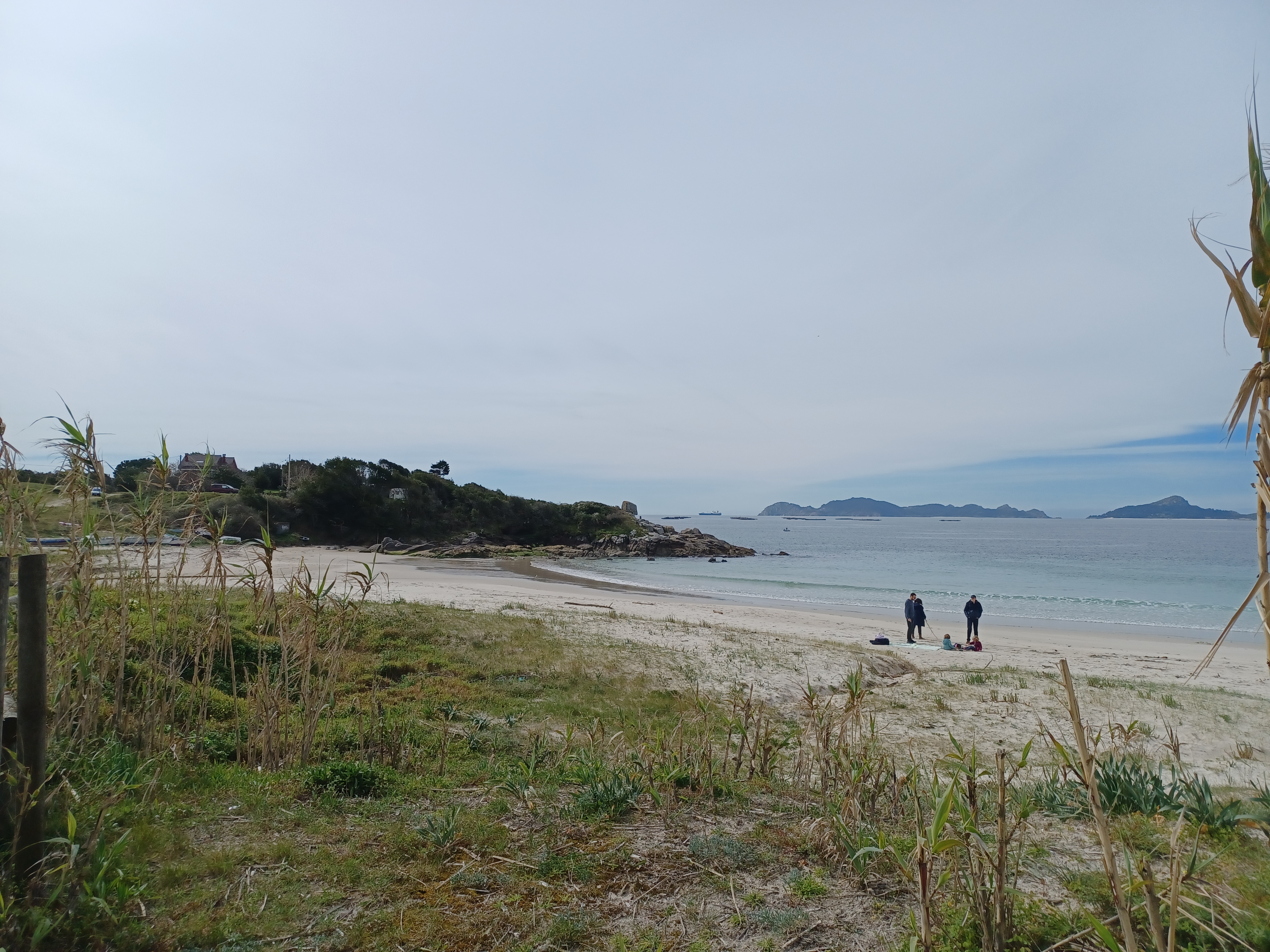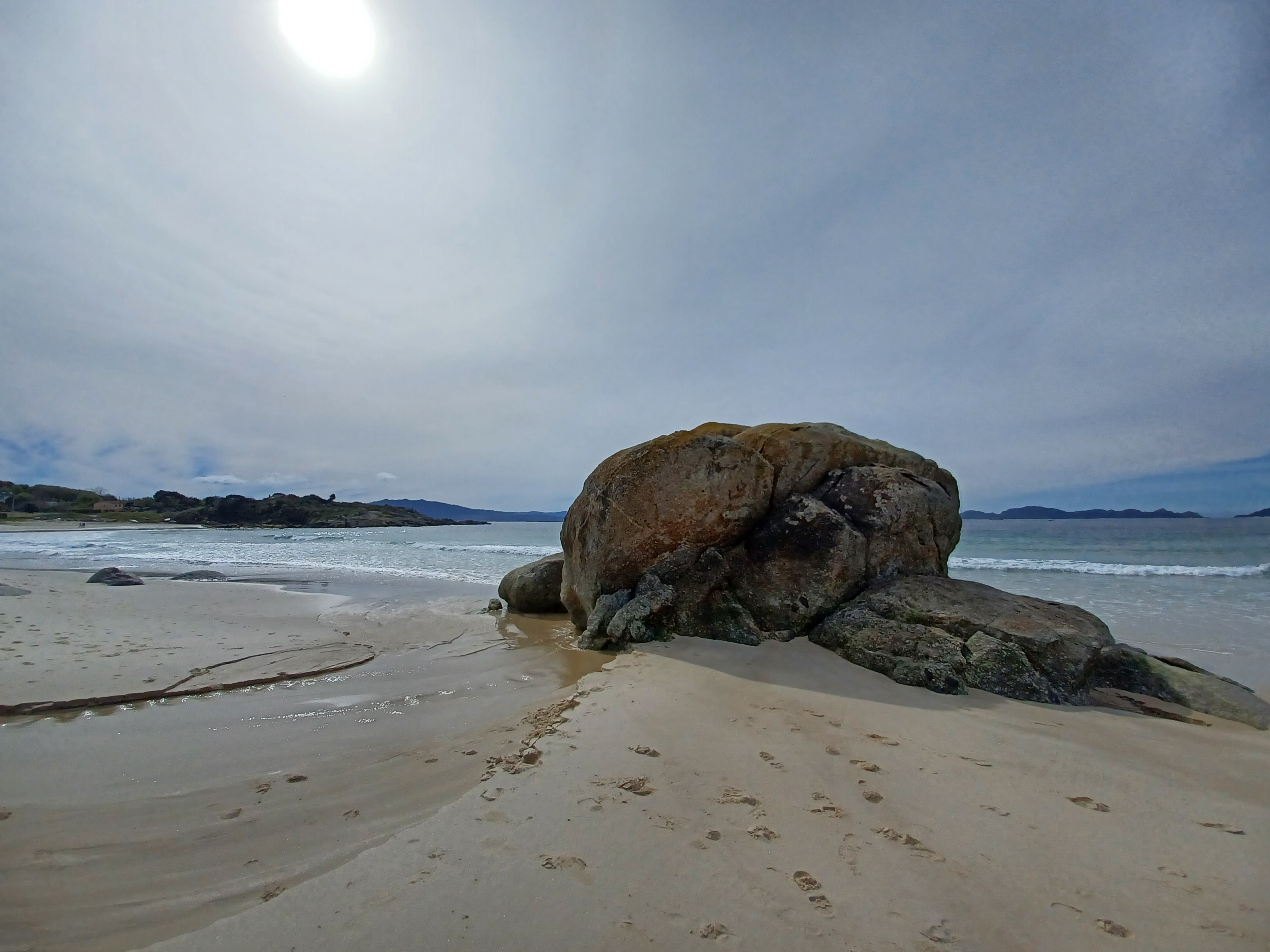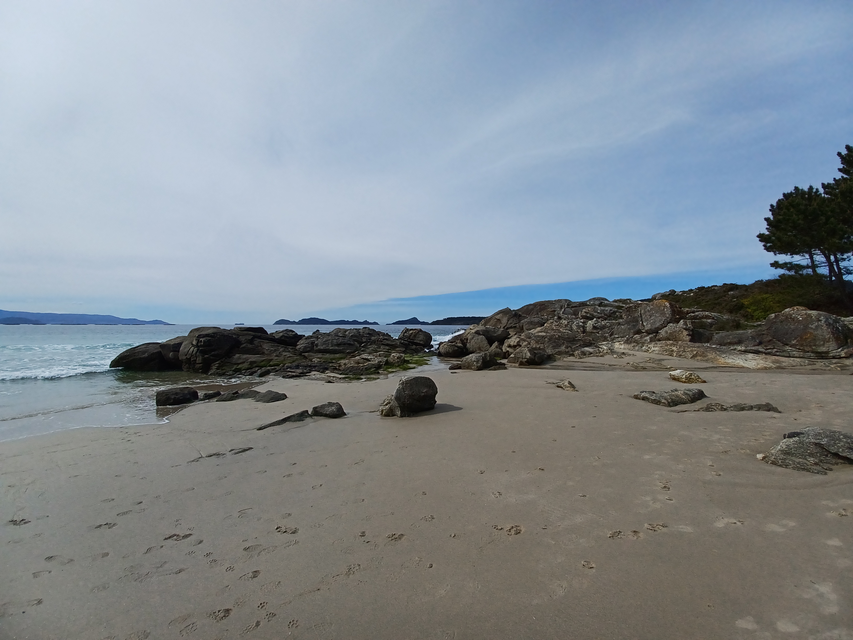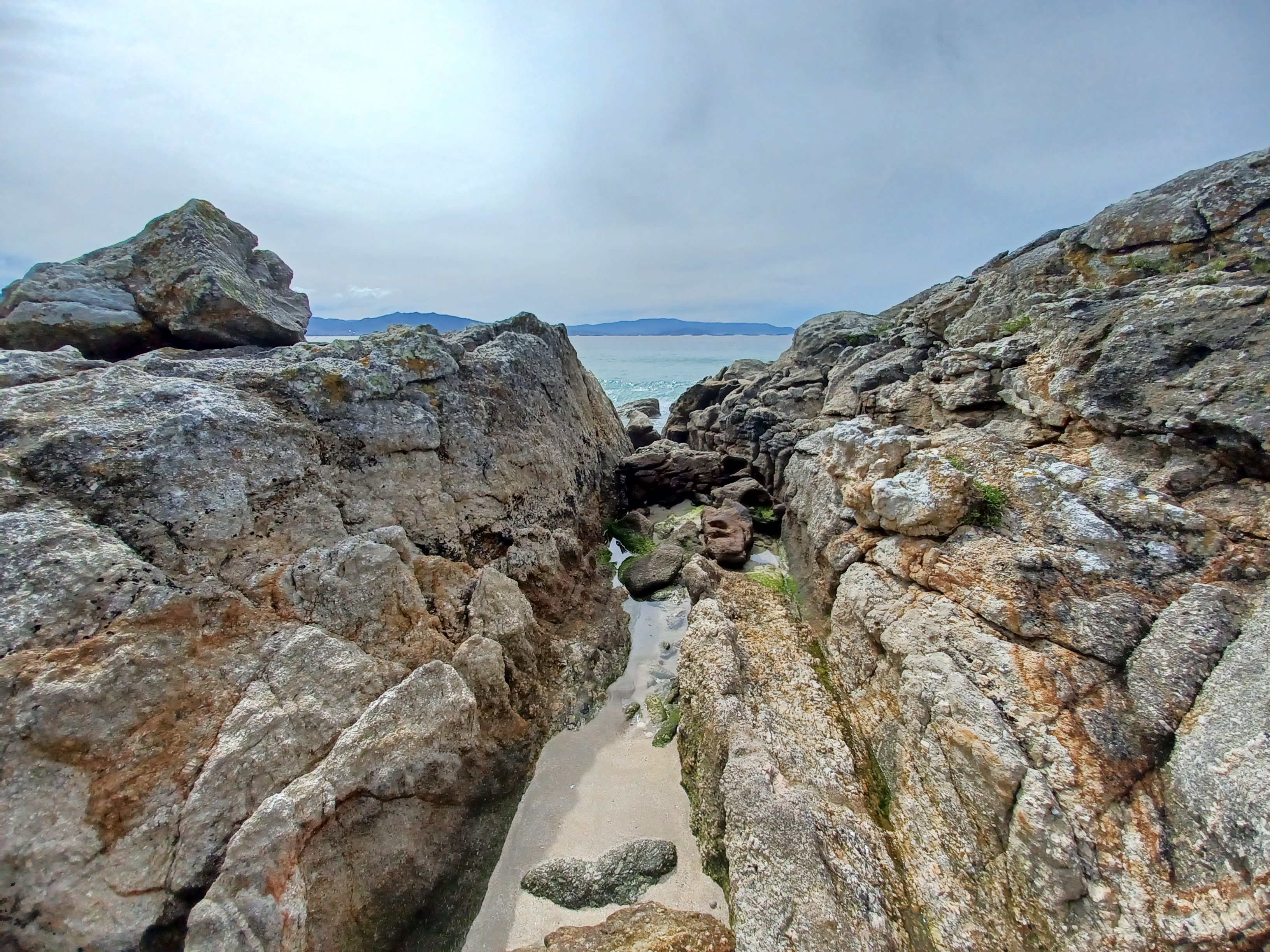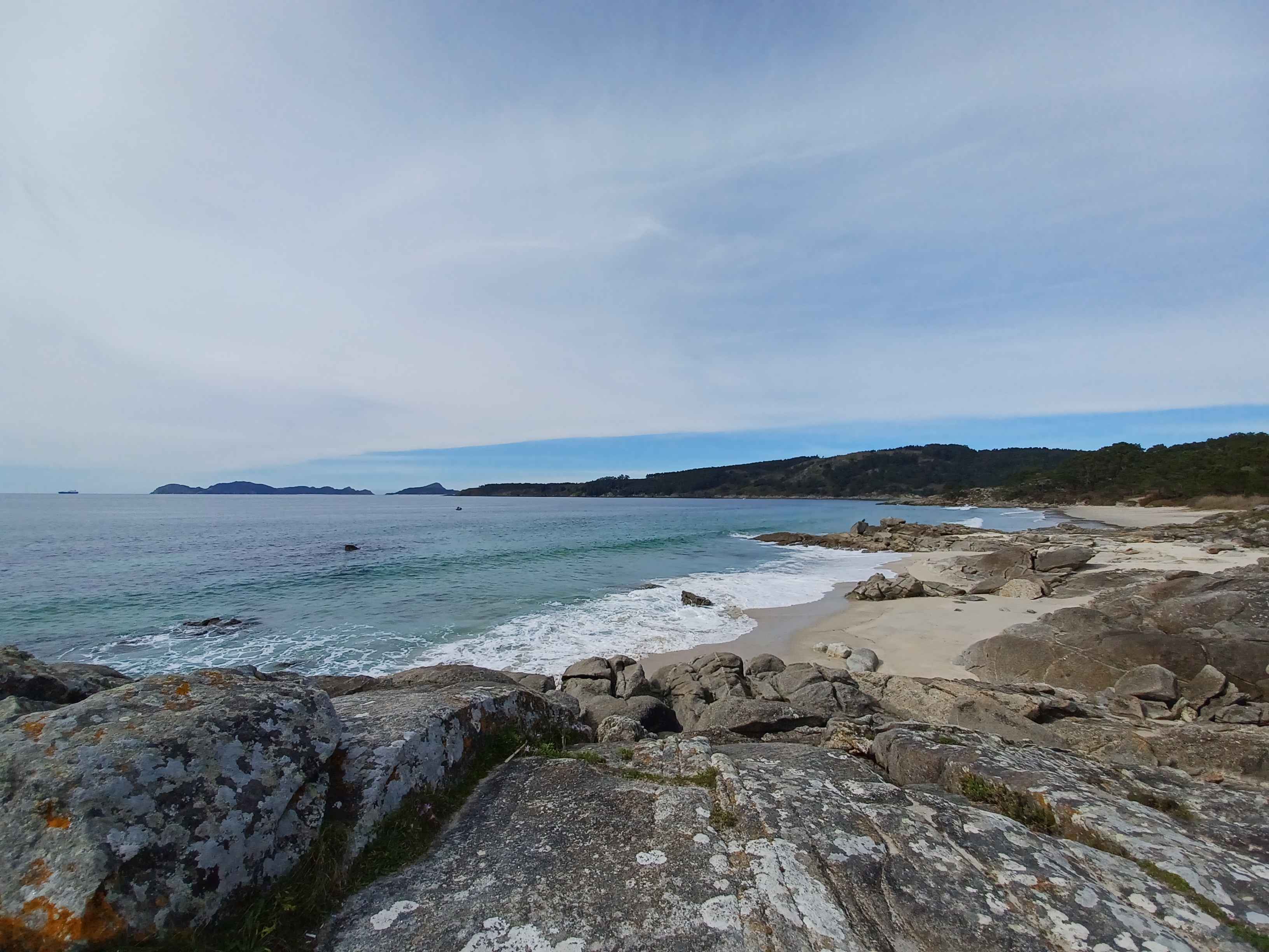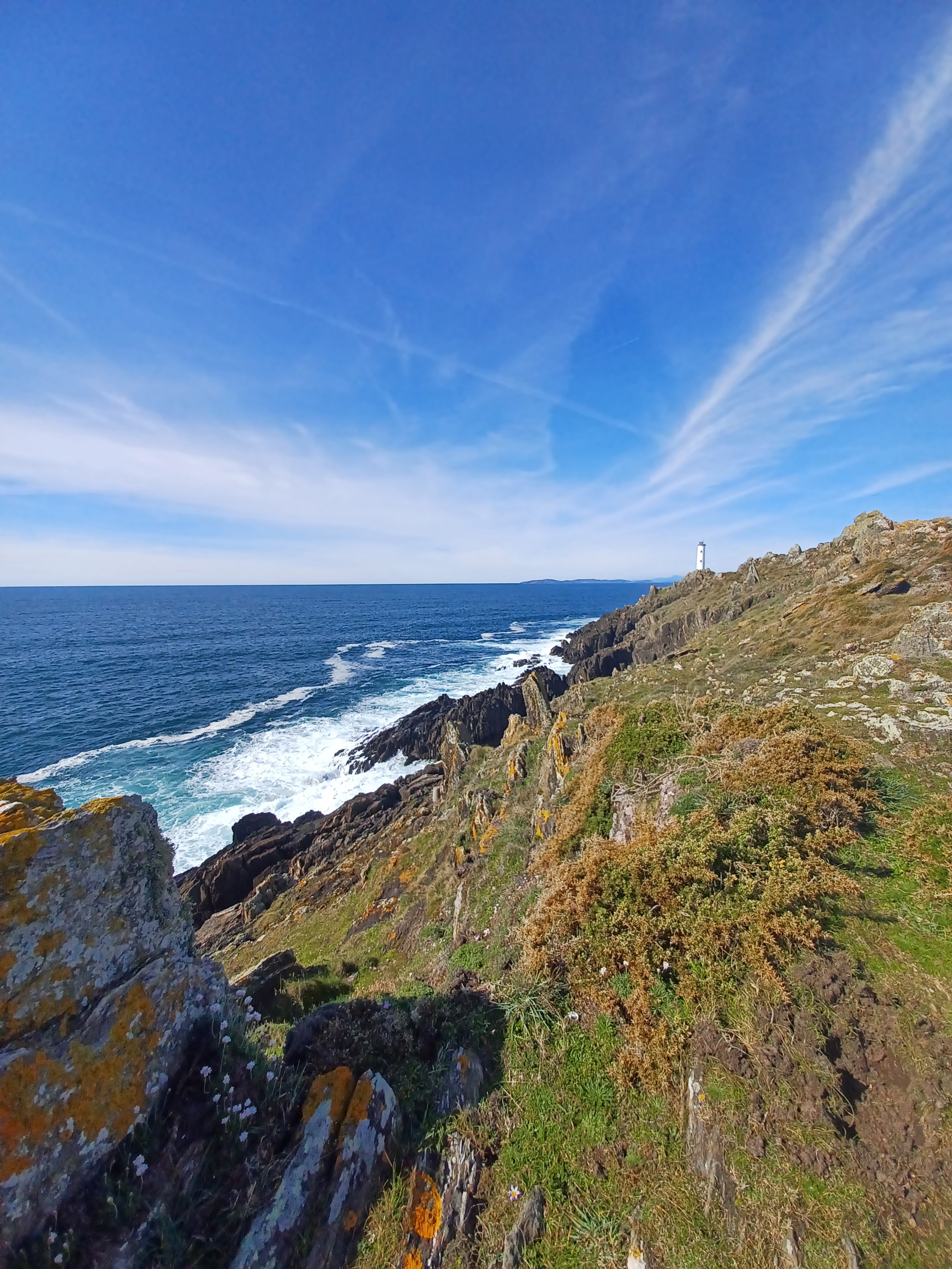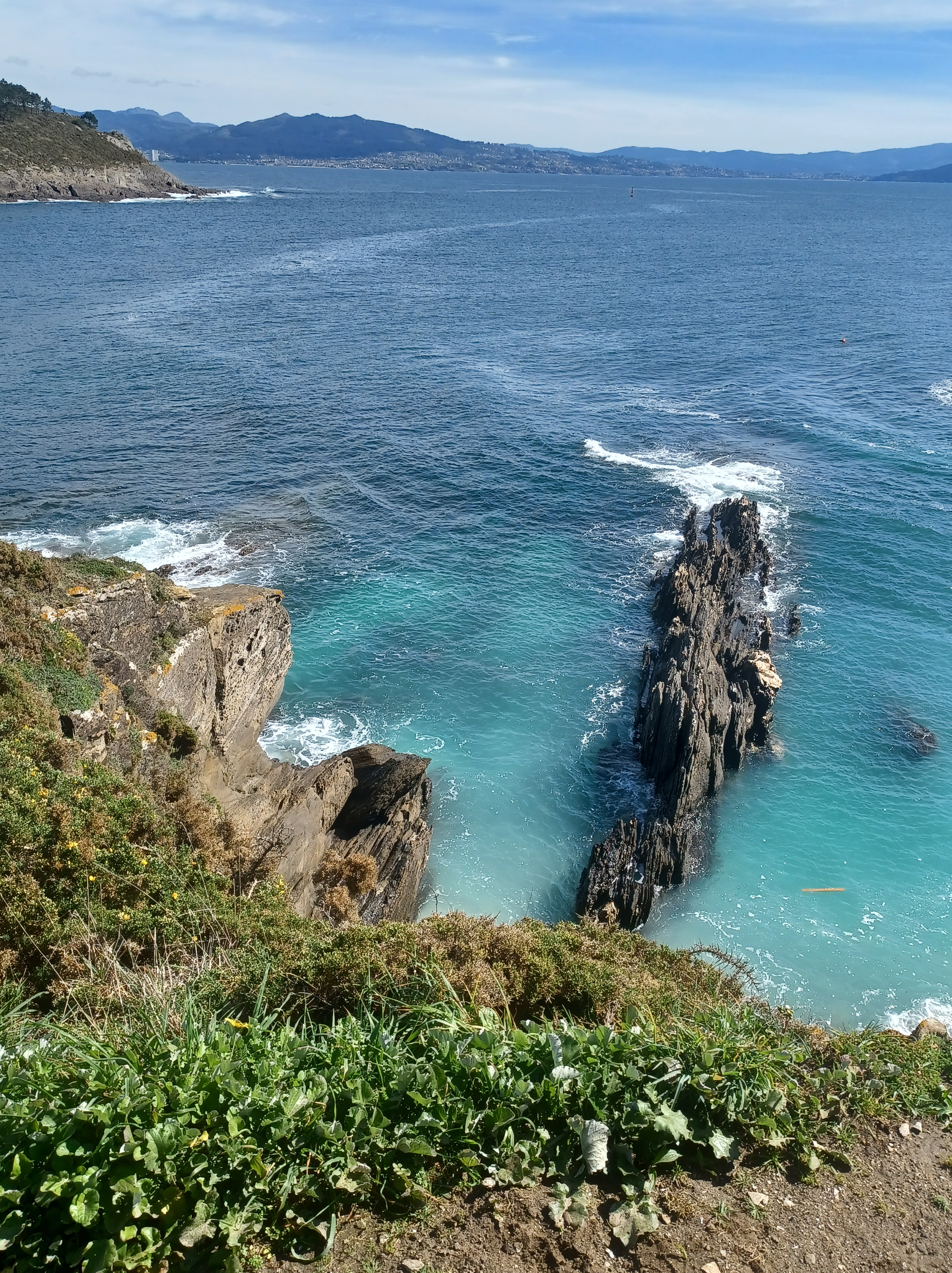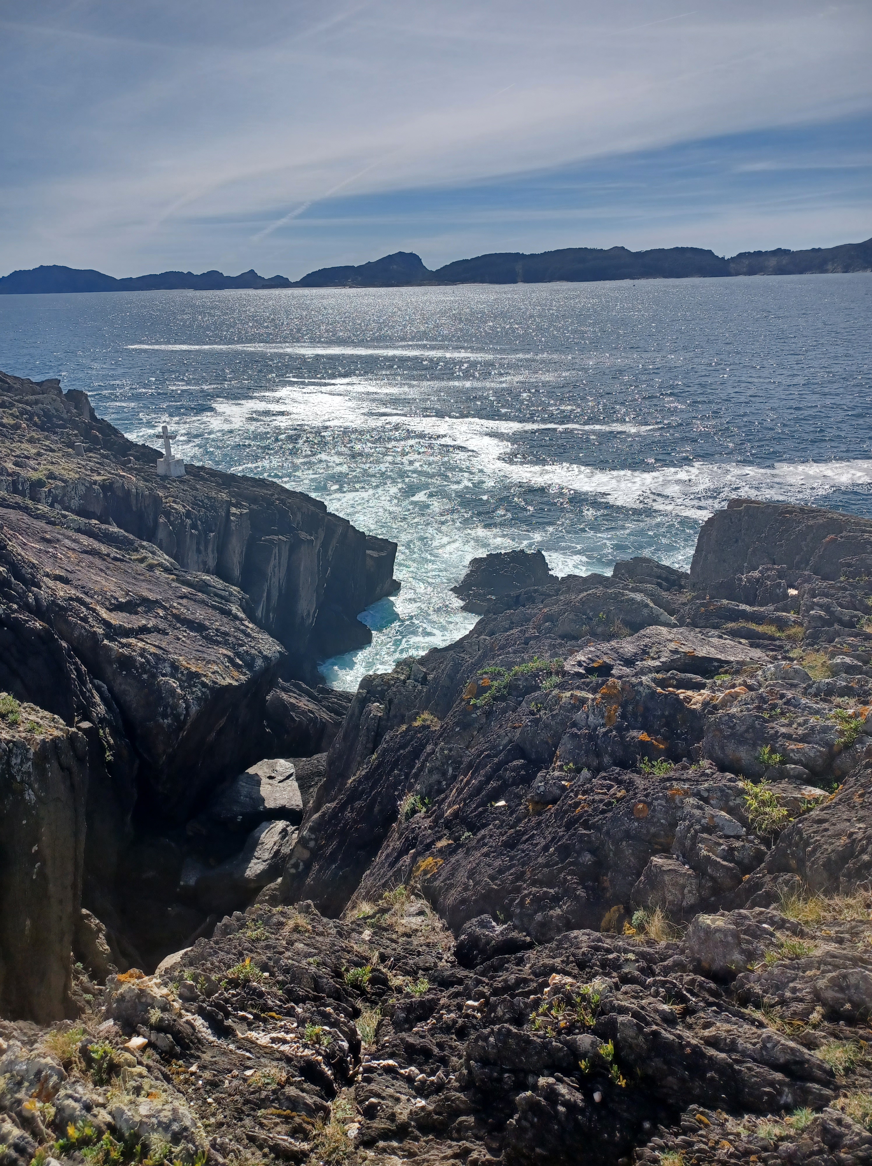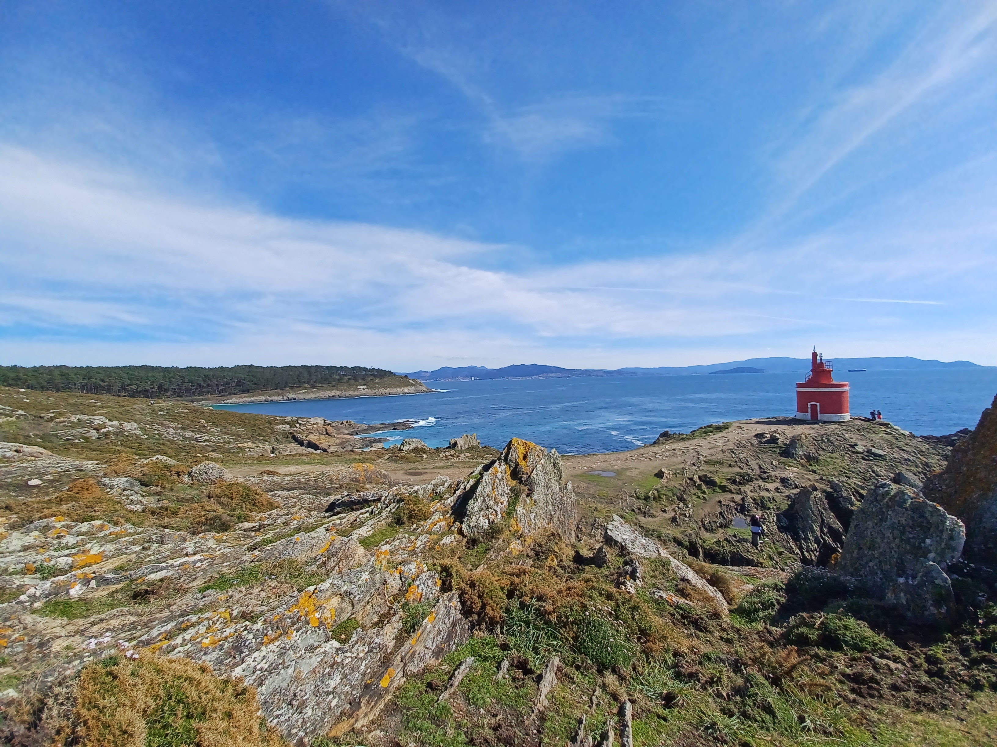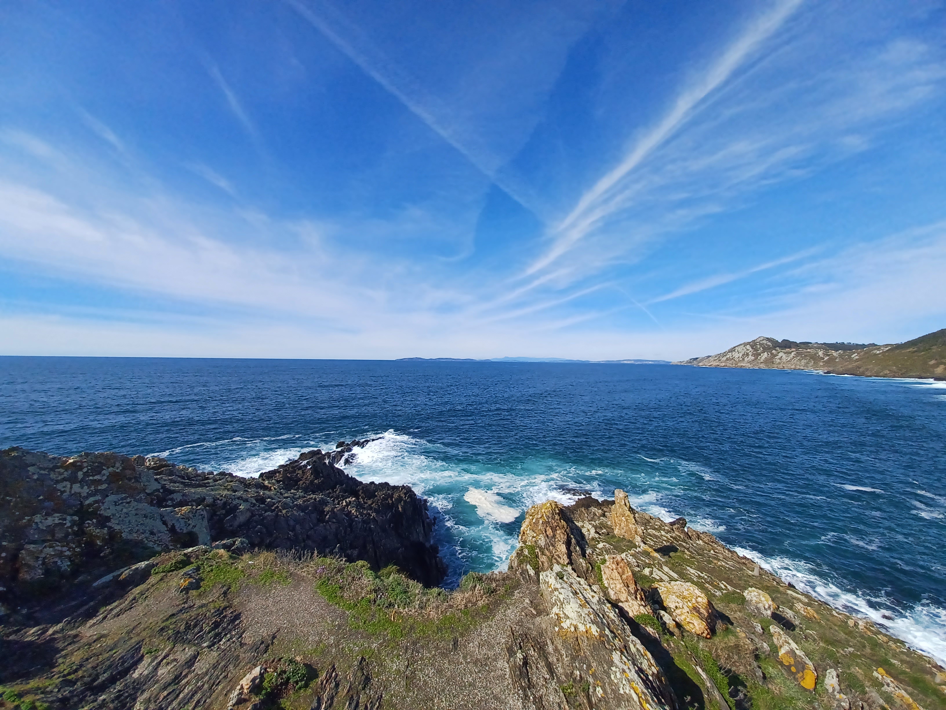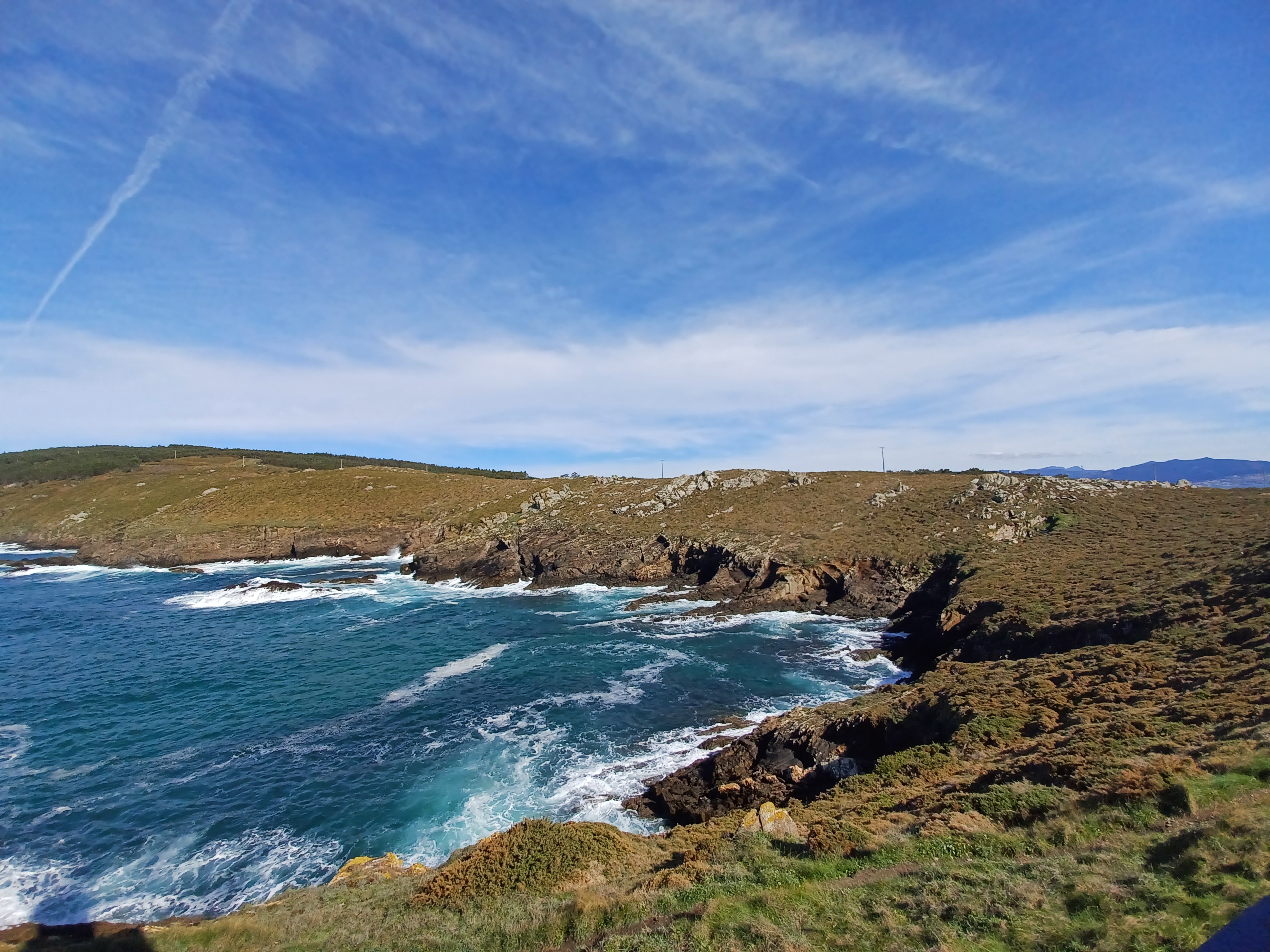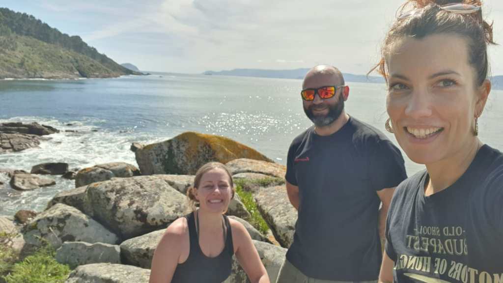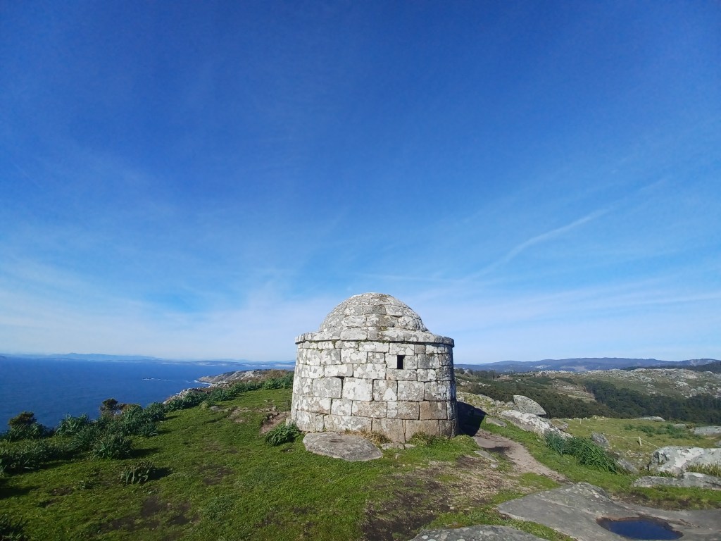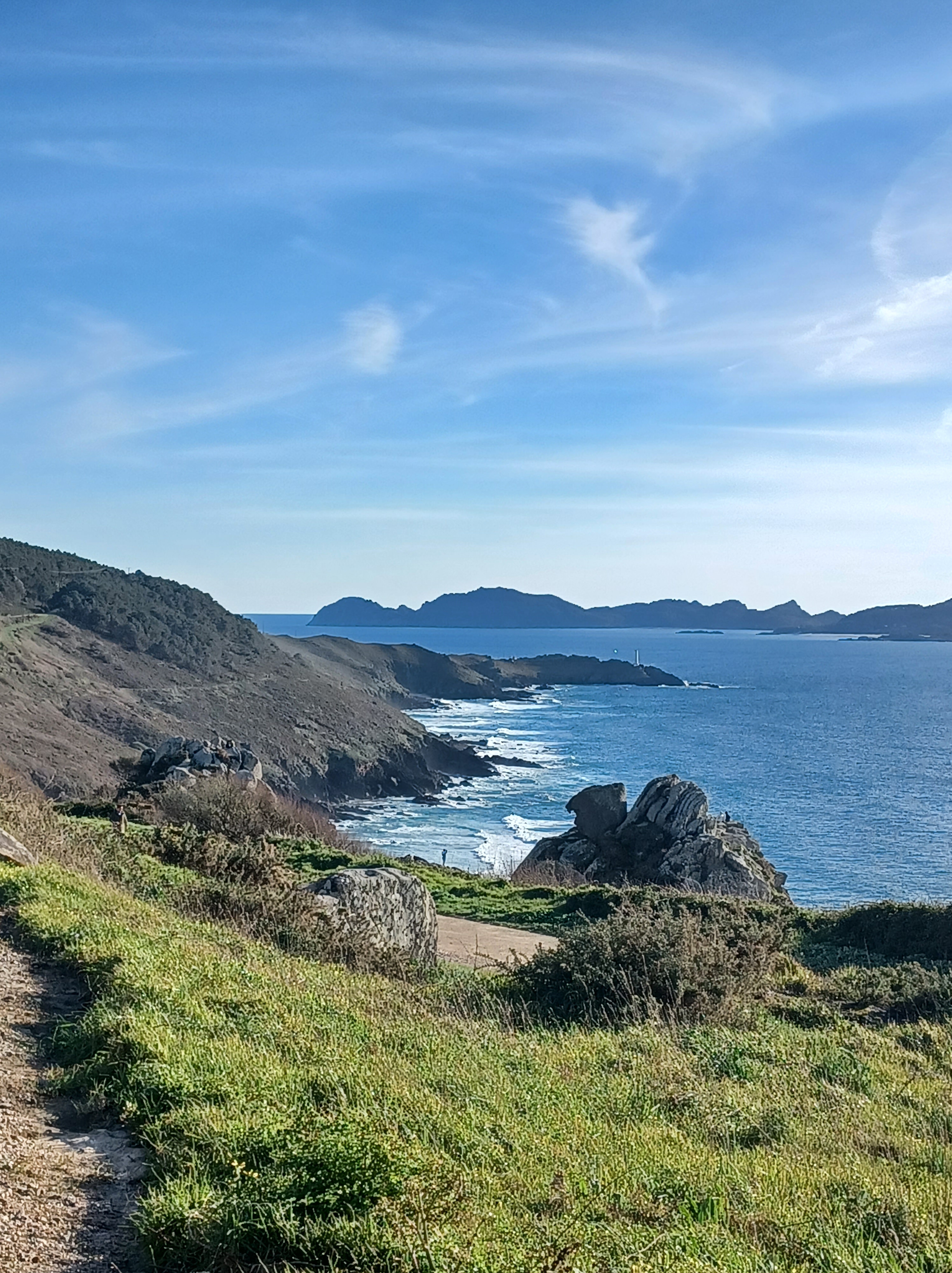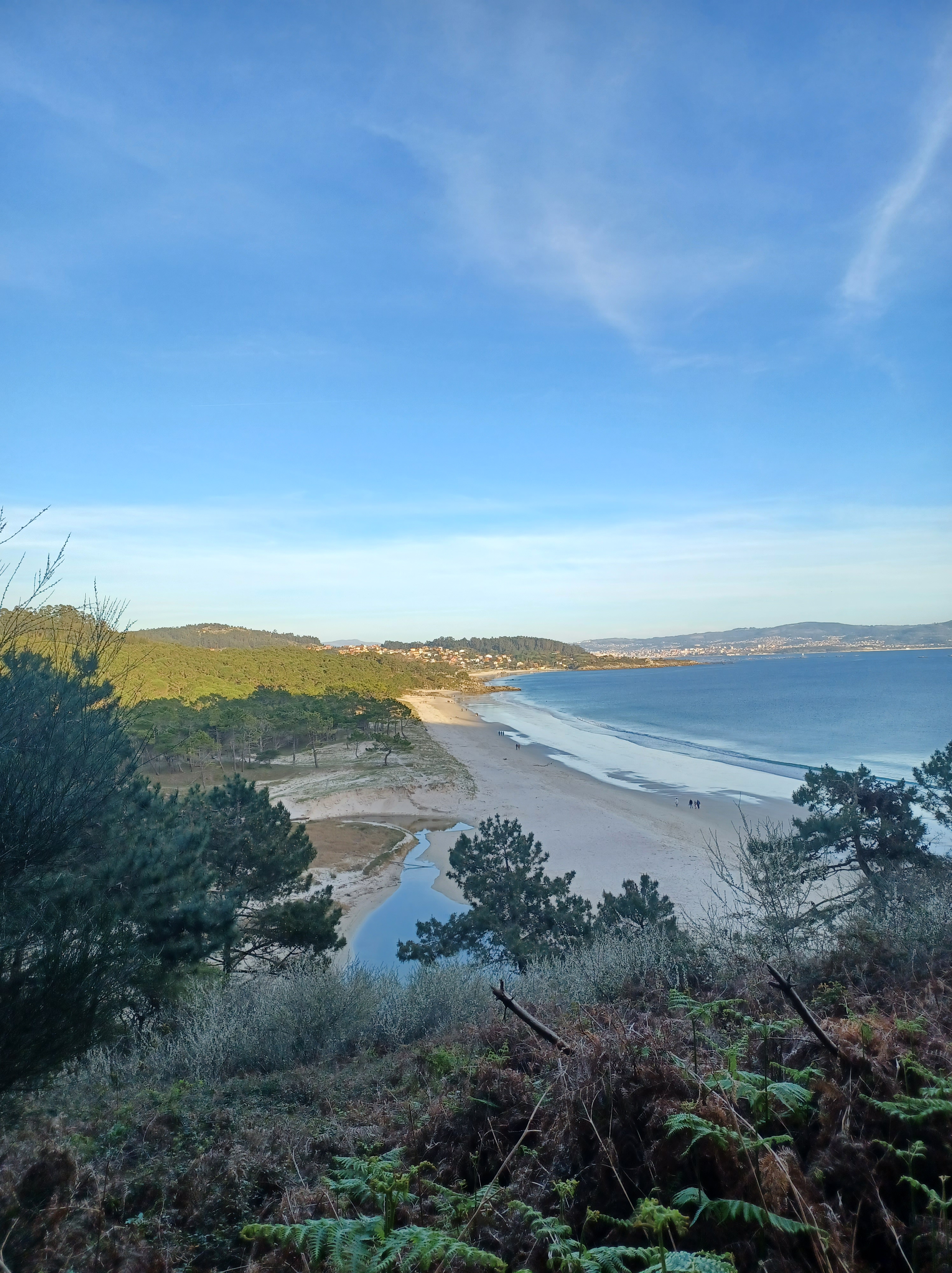
This was a very rainy winter day in Galicia. The wind was a bit crazy so we made a bunch of short stops without a lot of walking.
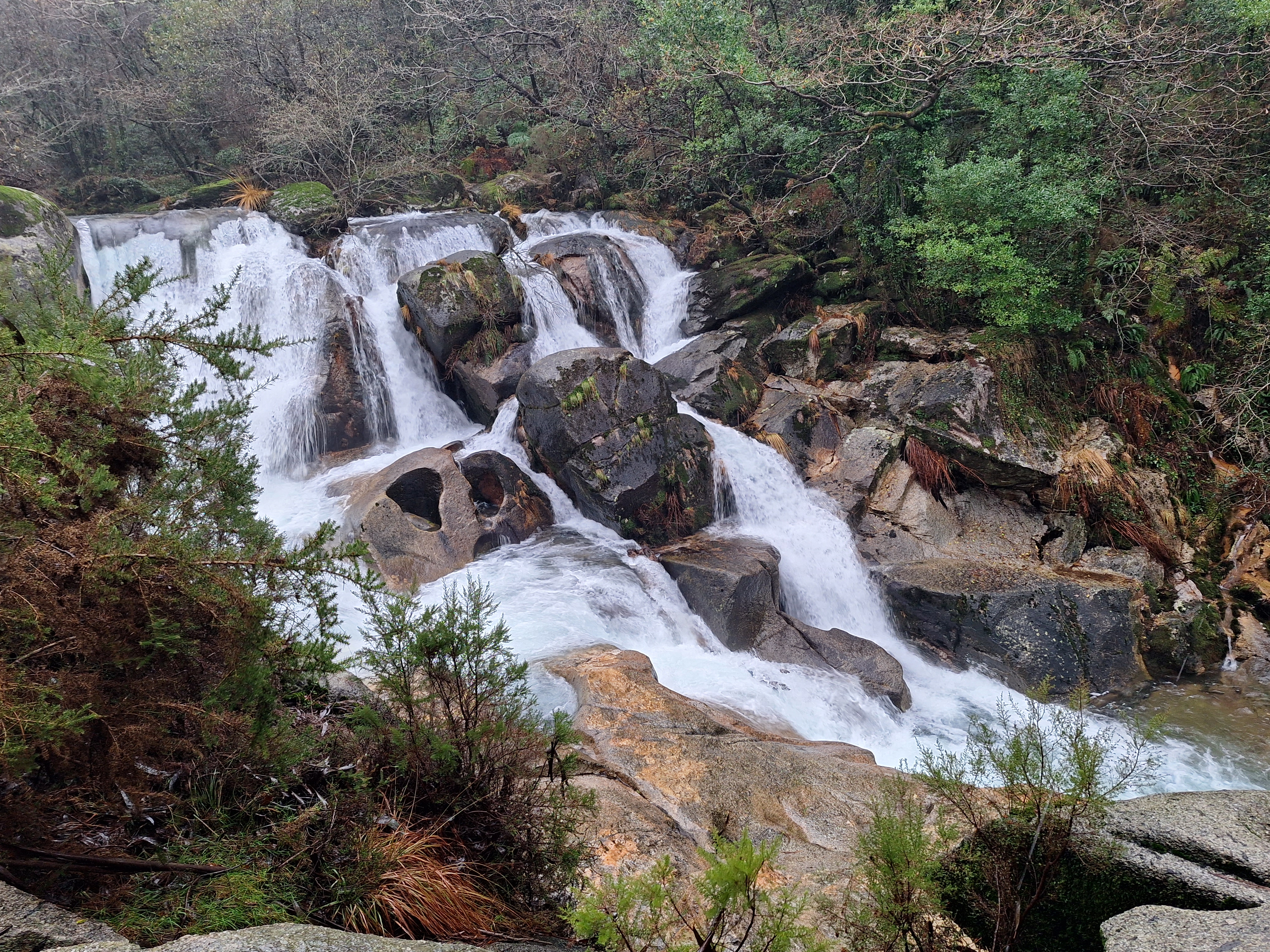
Fervenza da Noveria
Fervenza de A Noveira is in the Comarca do Xallas, Mazaricos. This is a very short walk to an incredible view of the falls.
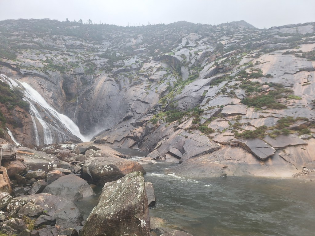
Ezaro
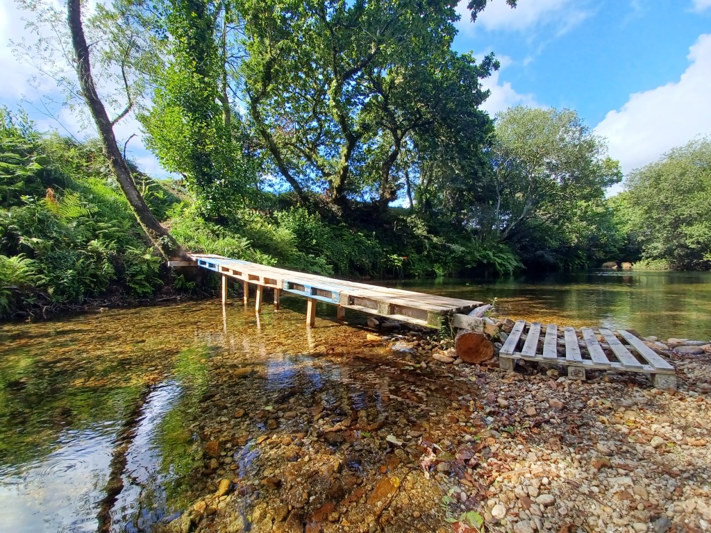
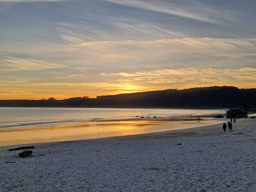
Ezaro is a beautiful pueblo in Galicia. In summer it is home to a swimming competition at the end of summer. The swimmers start in the sea and swim to the pueblo near the waterfall. There was so much wind this day, we struggled to make the boardwalk for this photo. It felt like such an accomplishment that we took a cake and a coffee in a nearby cafe to celebrate.
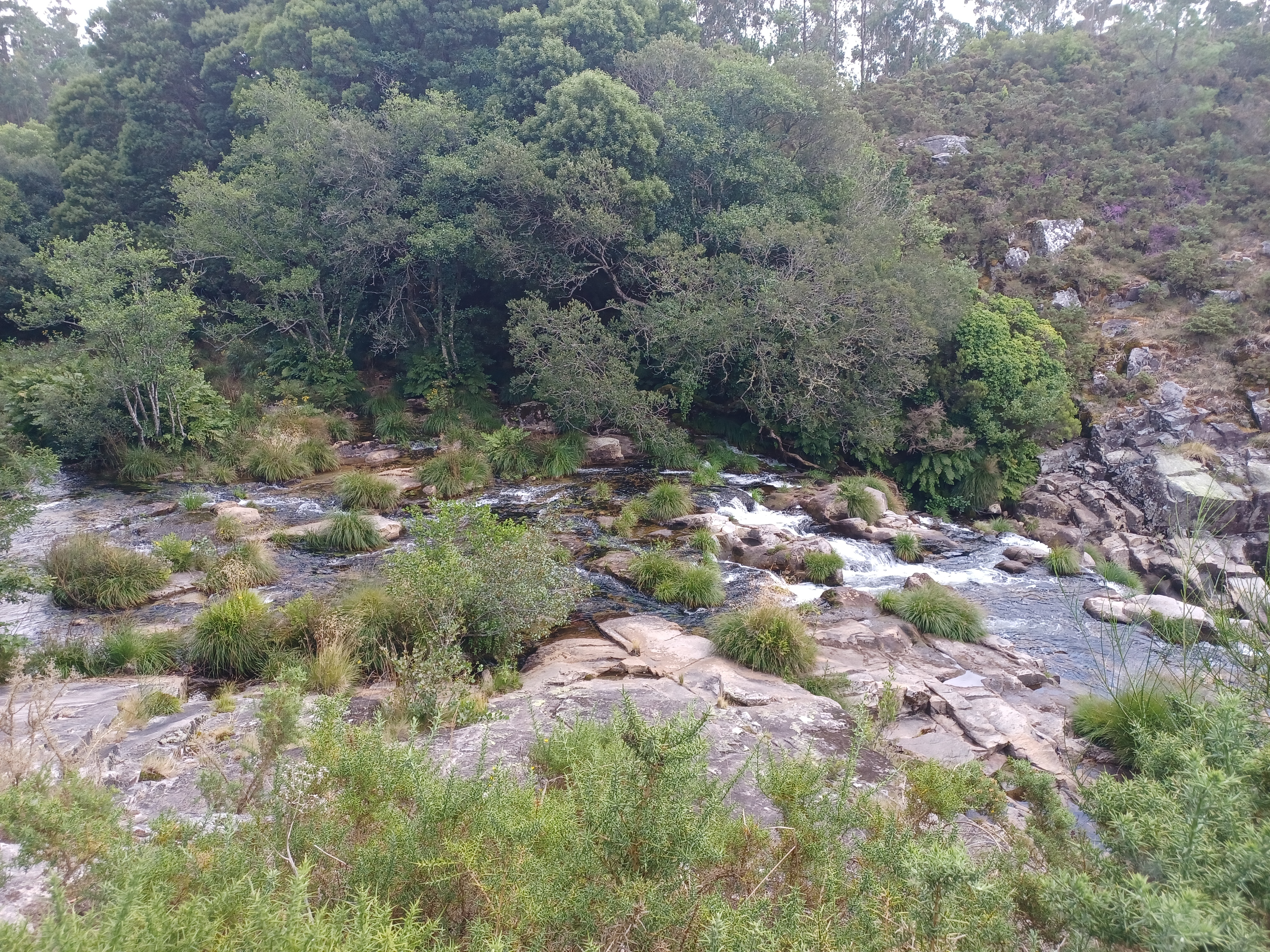
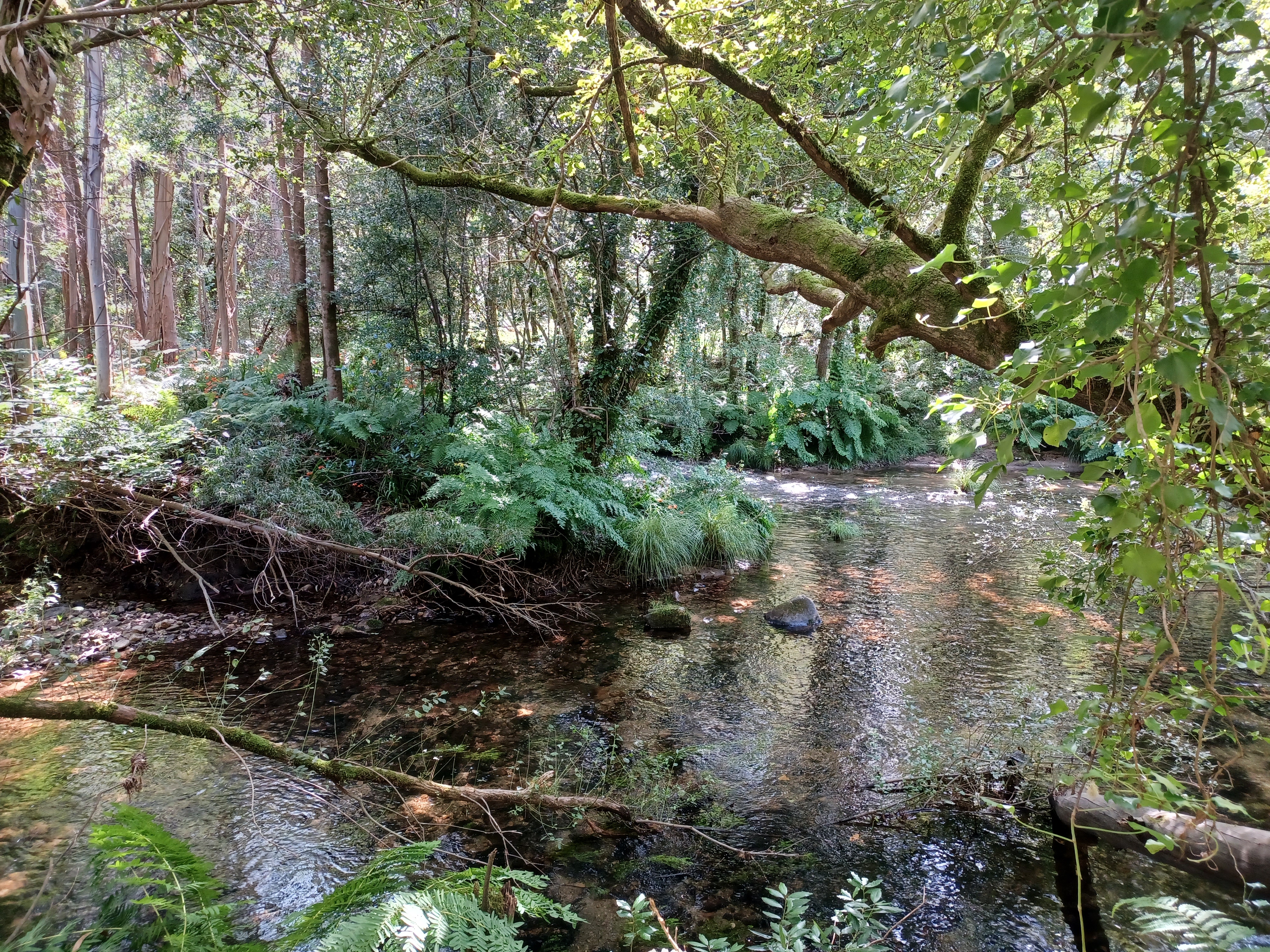
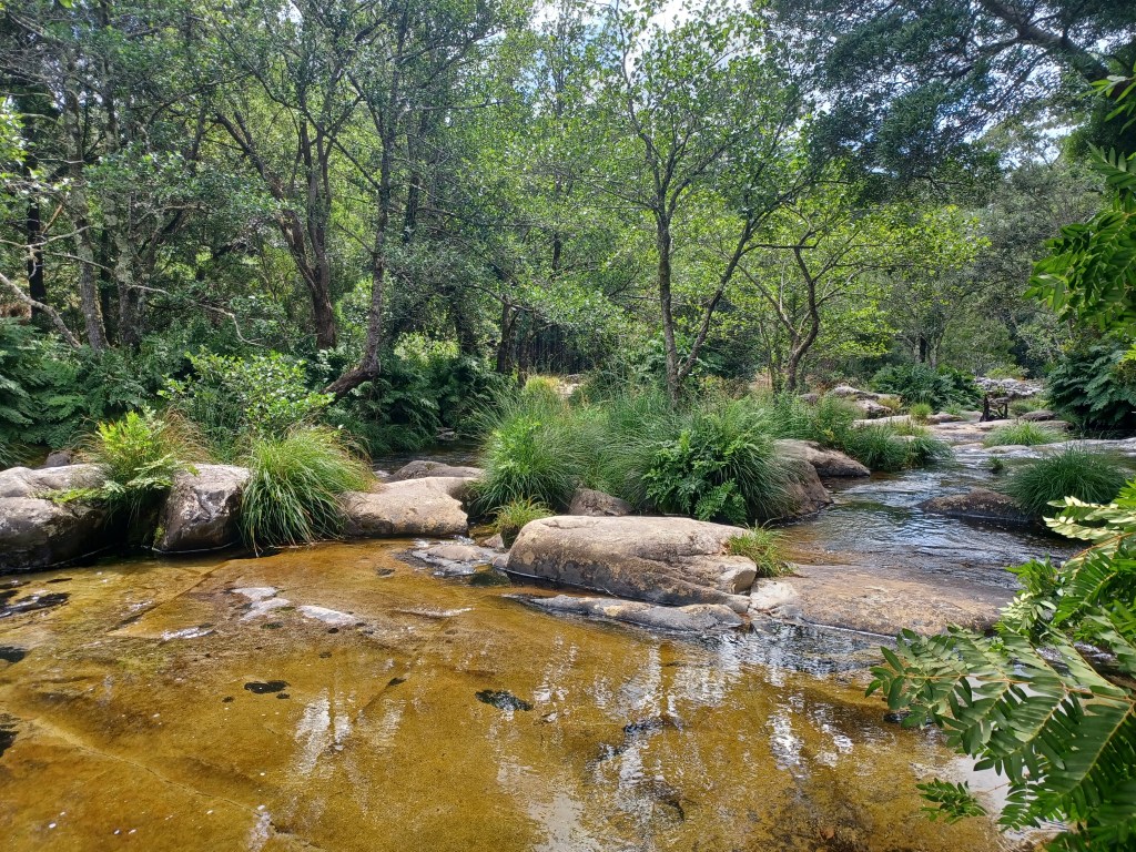
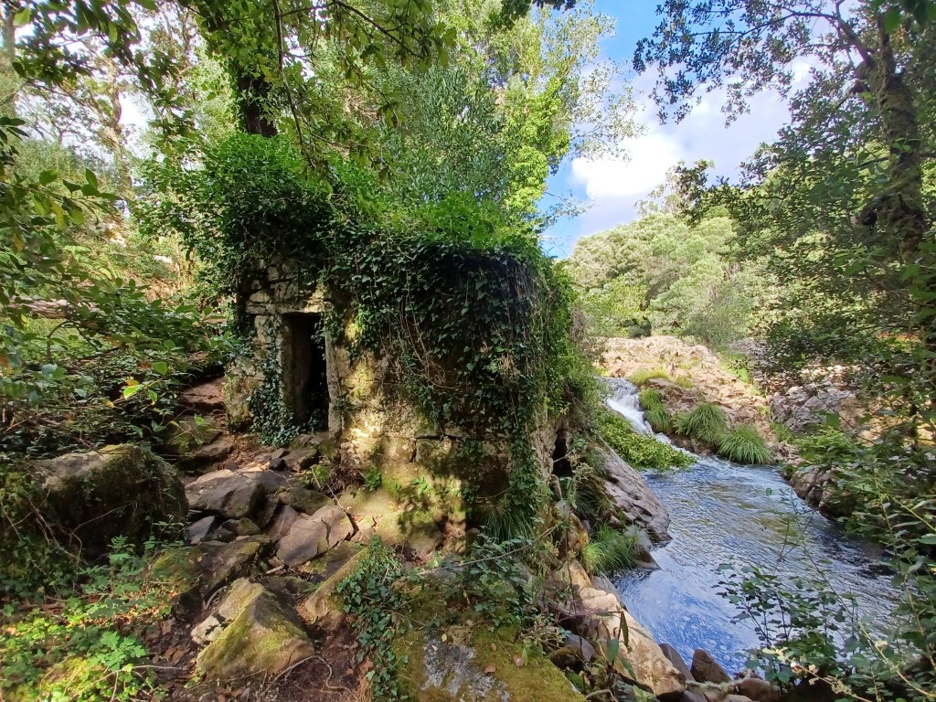
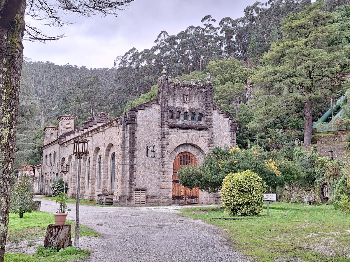
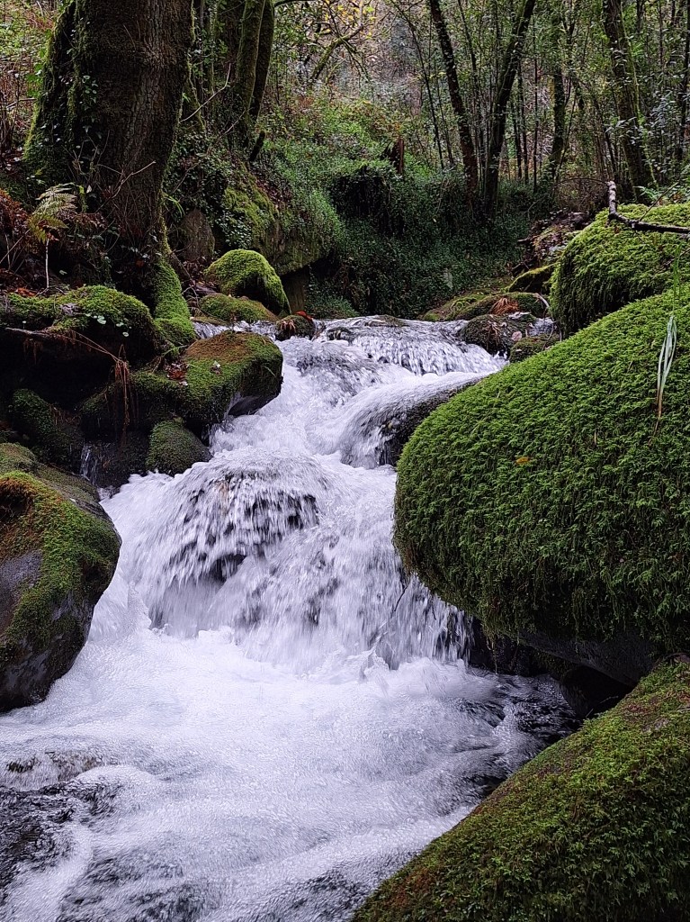
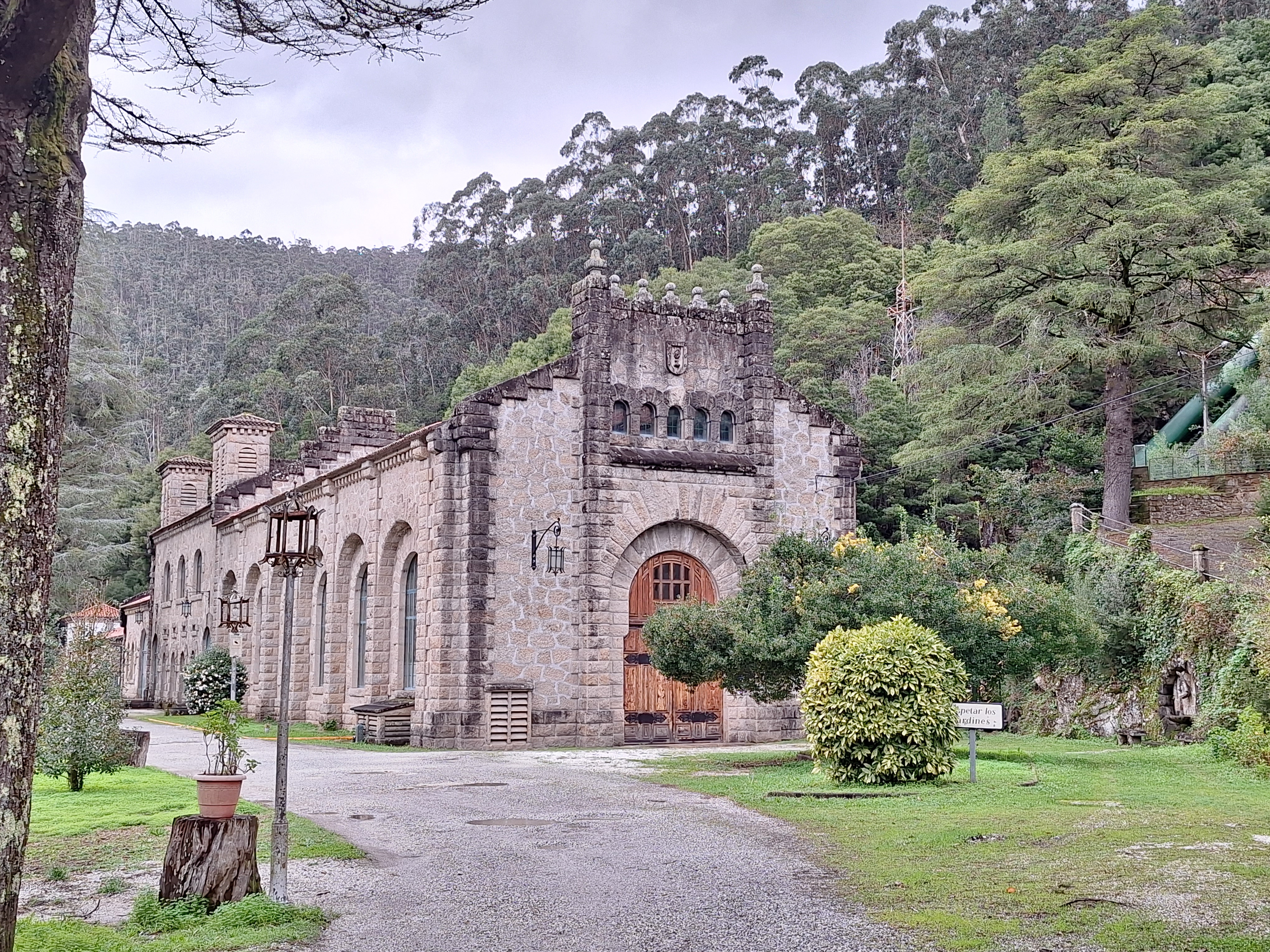
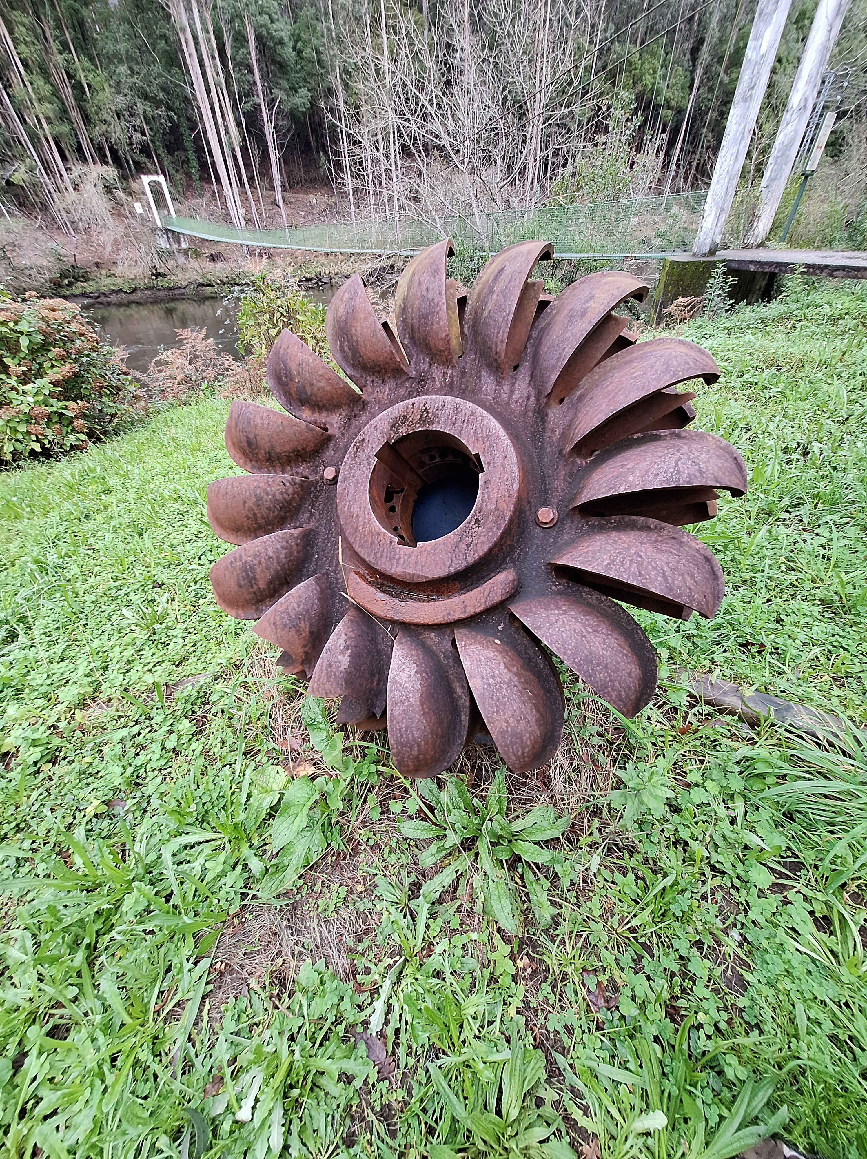
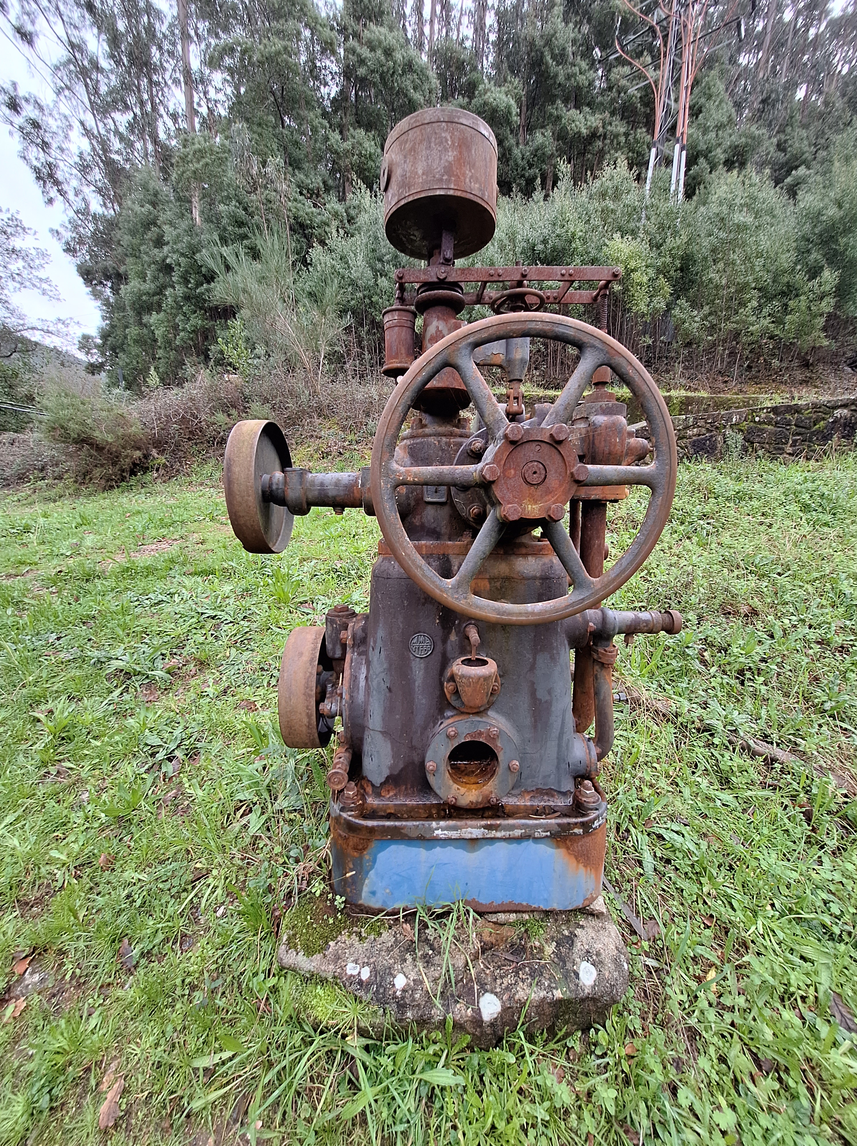
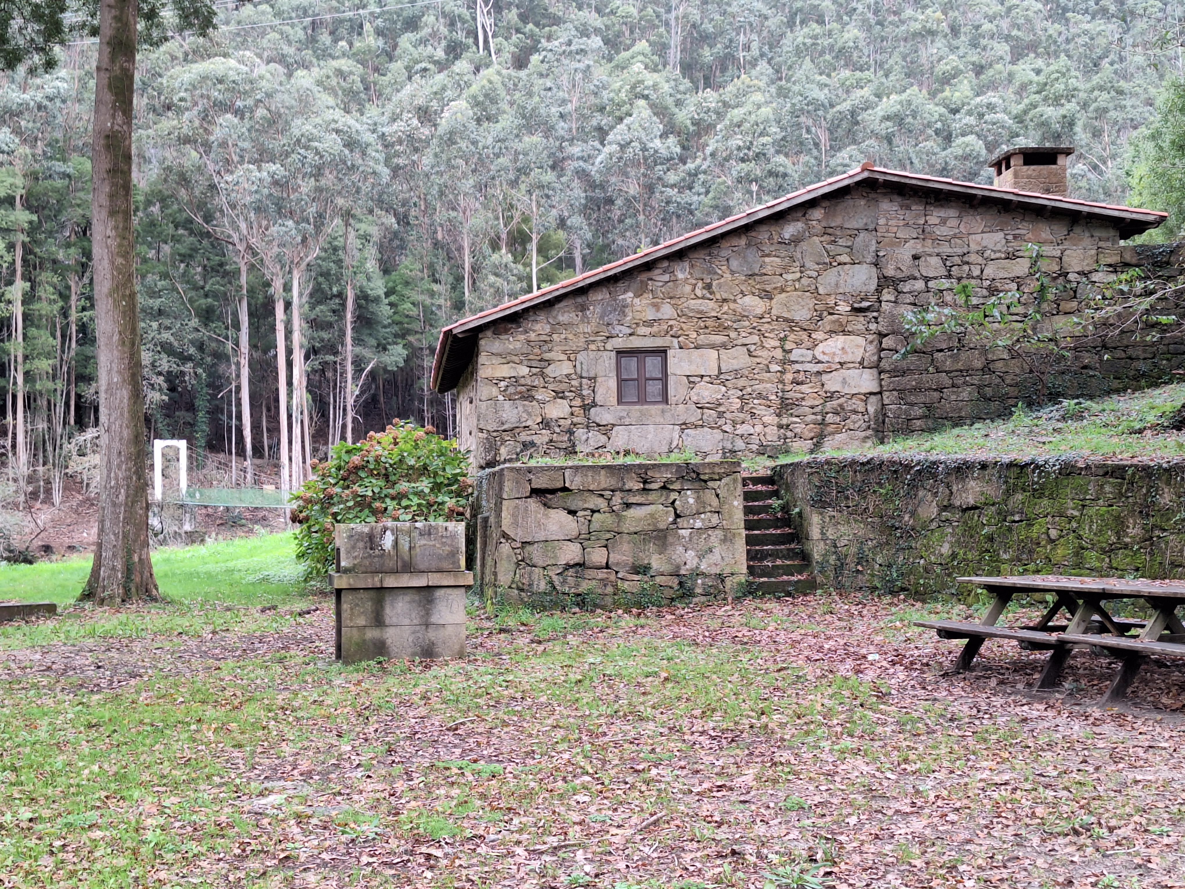
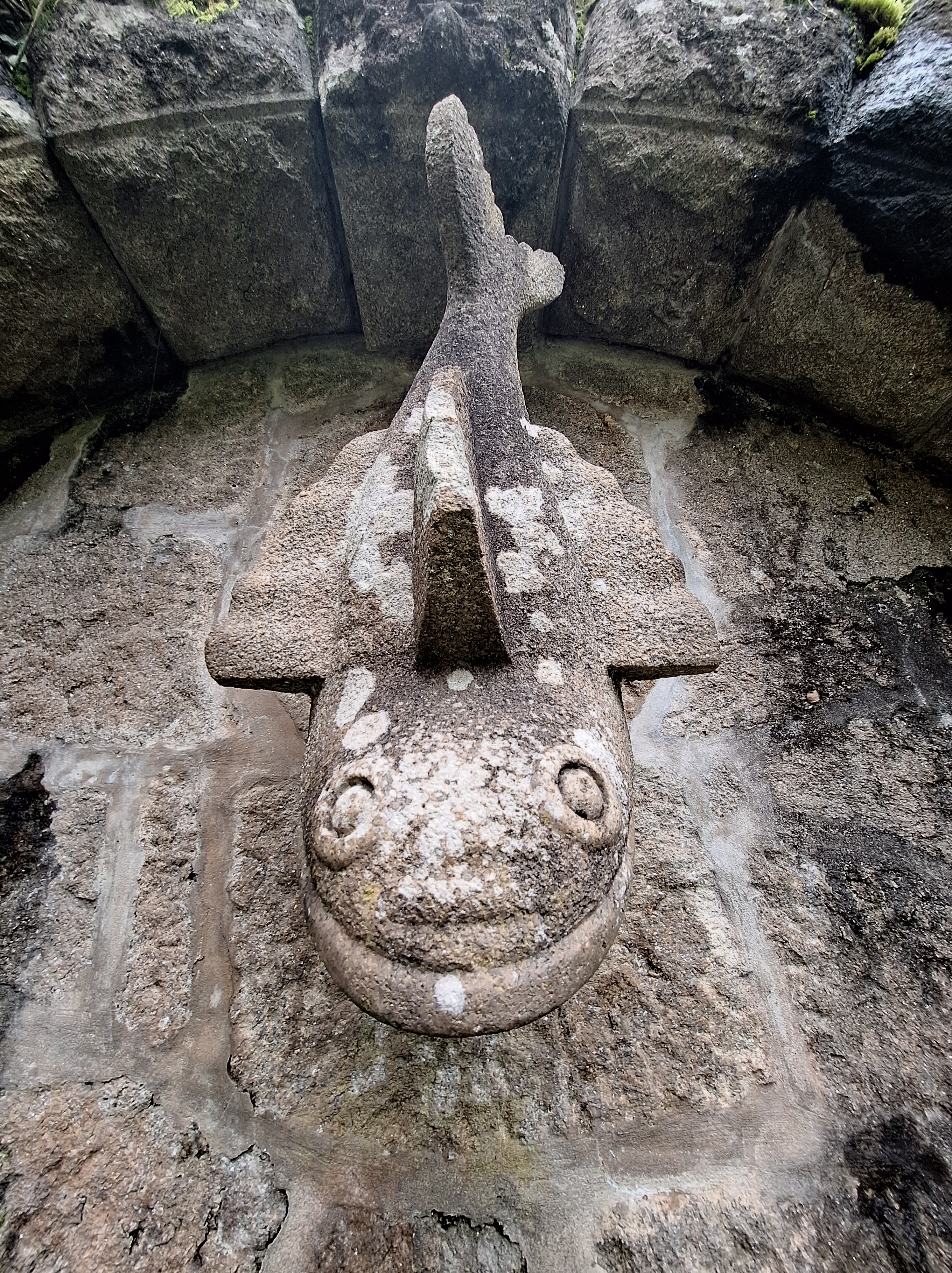
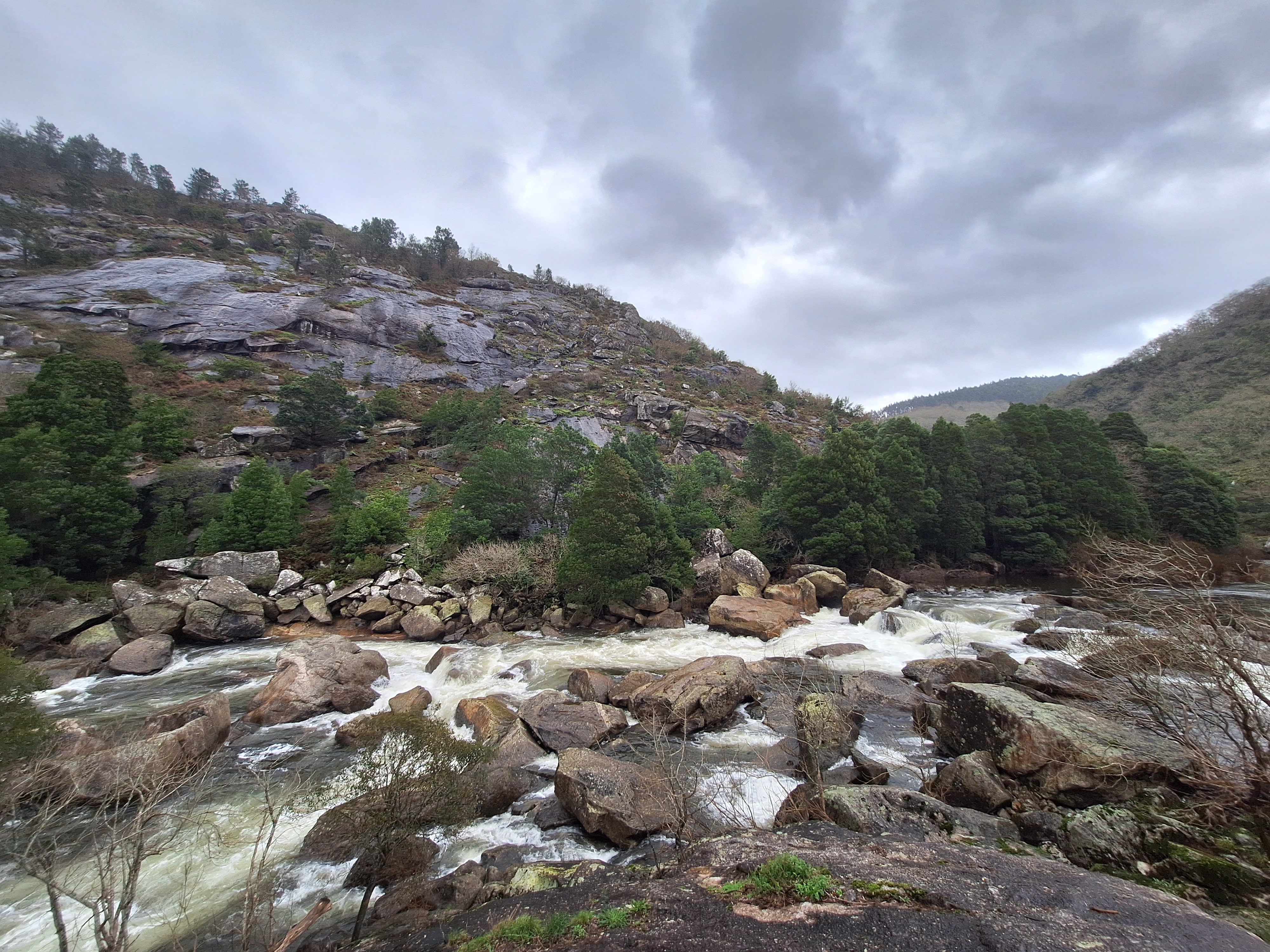
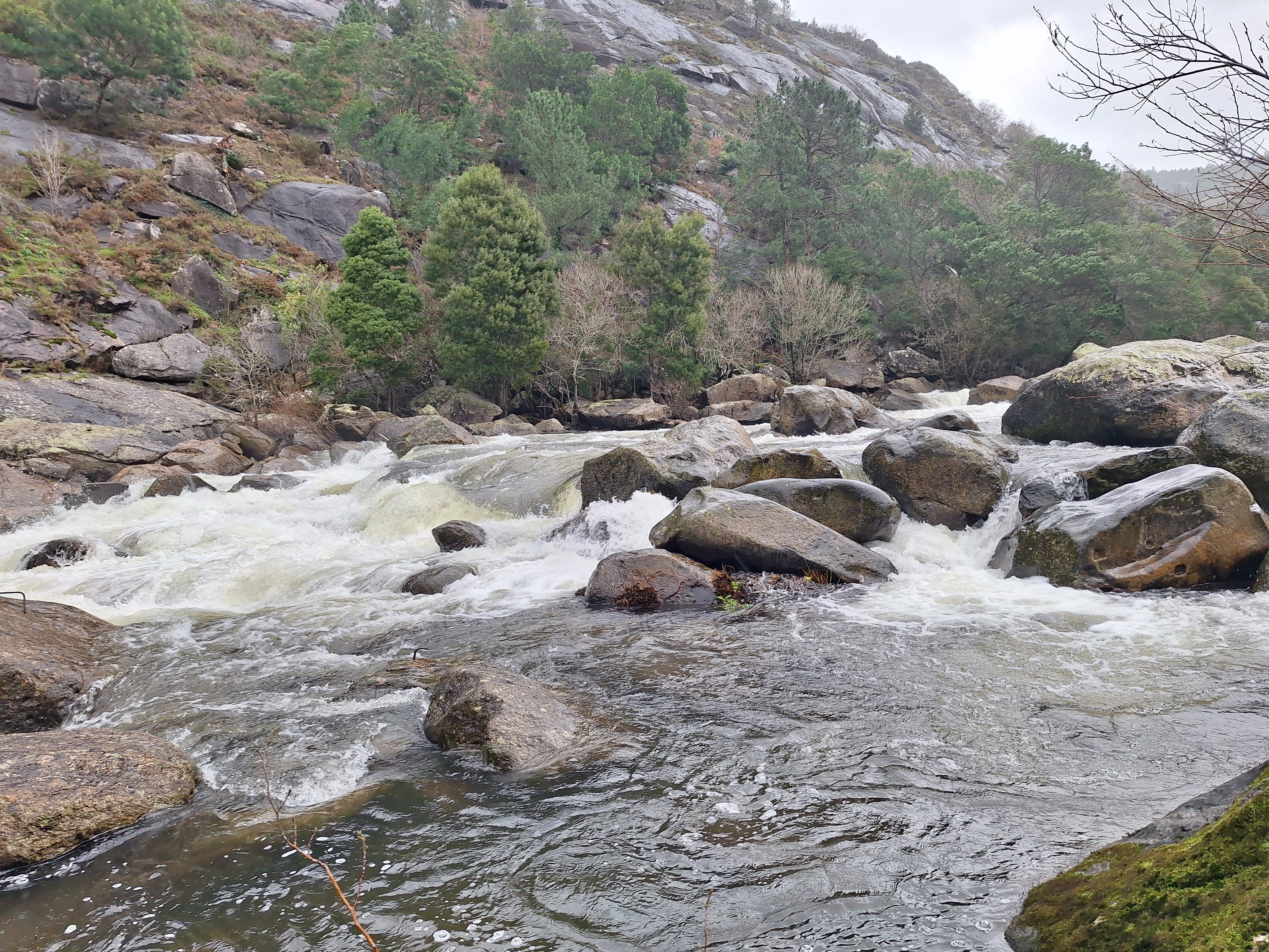
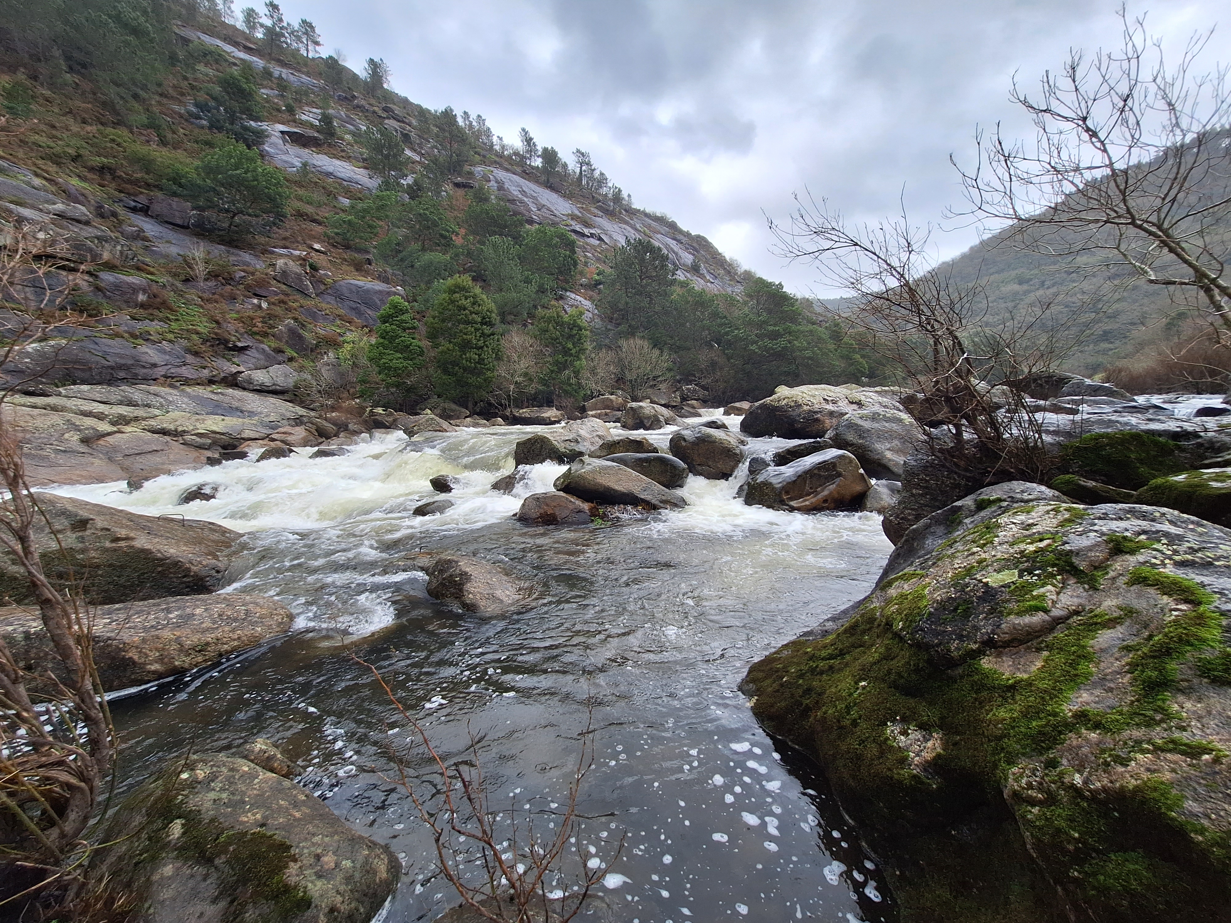
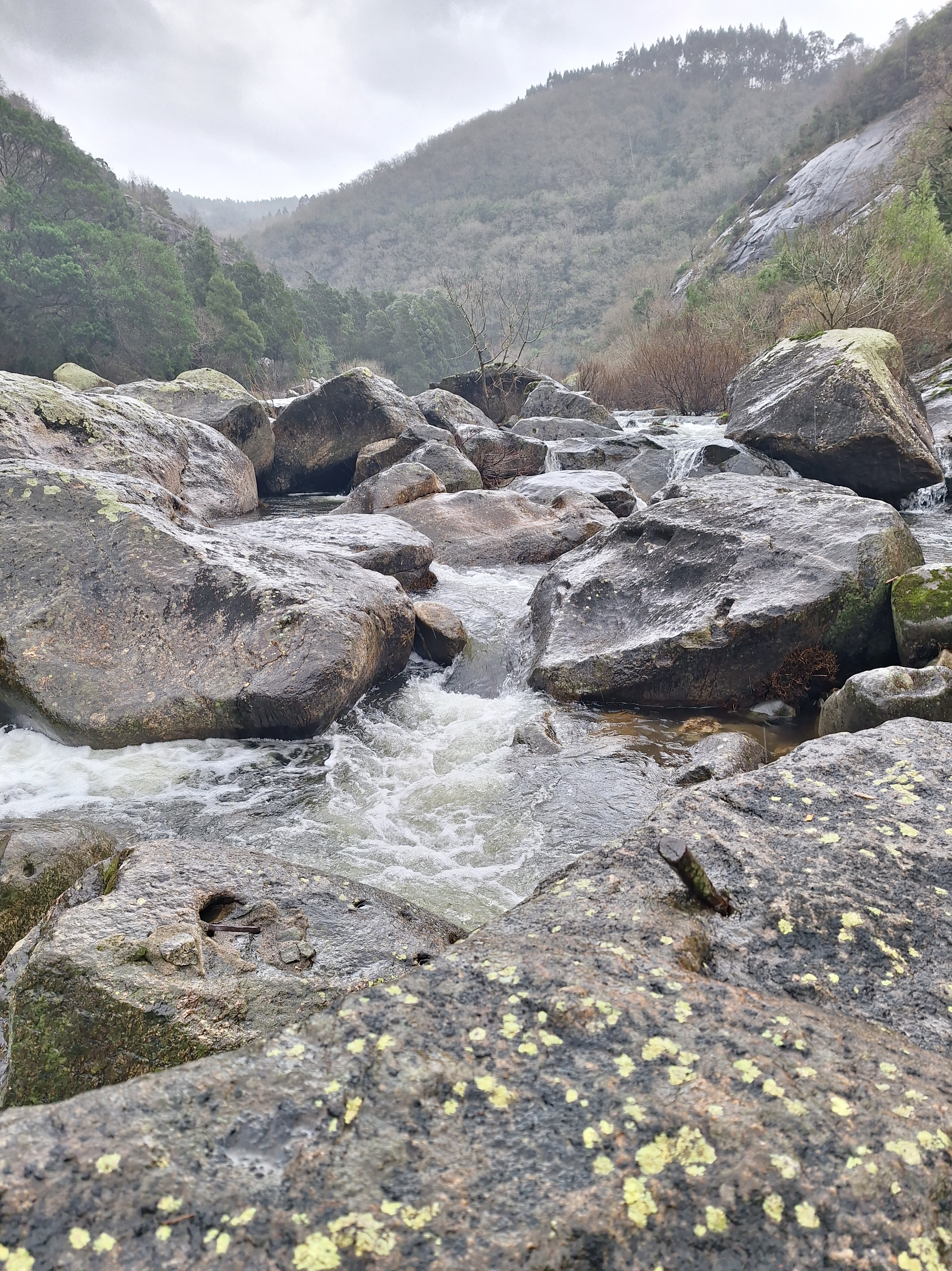
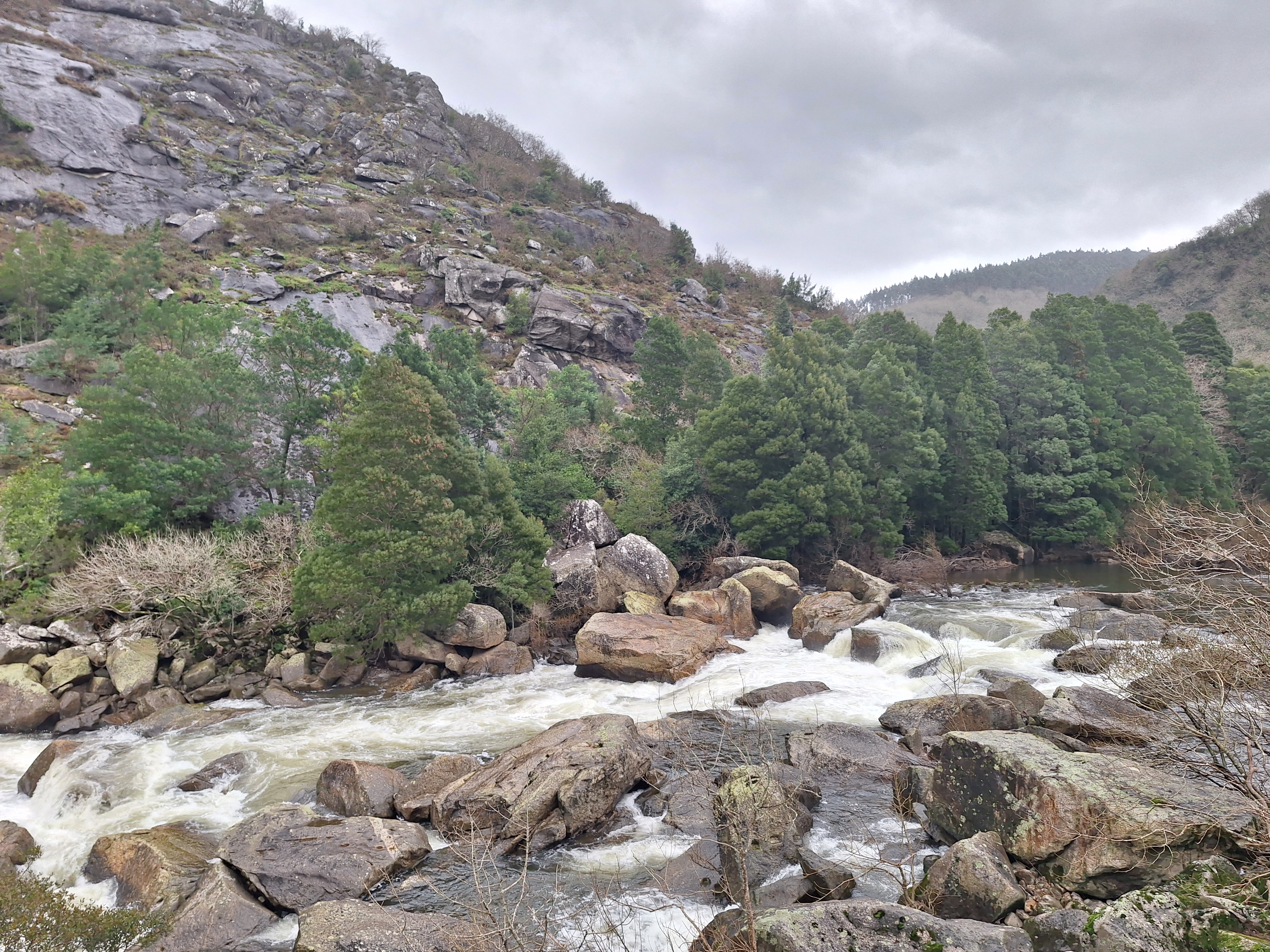
Hidroelectrico de Rio Tambre
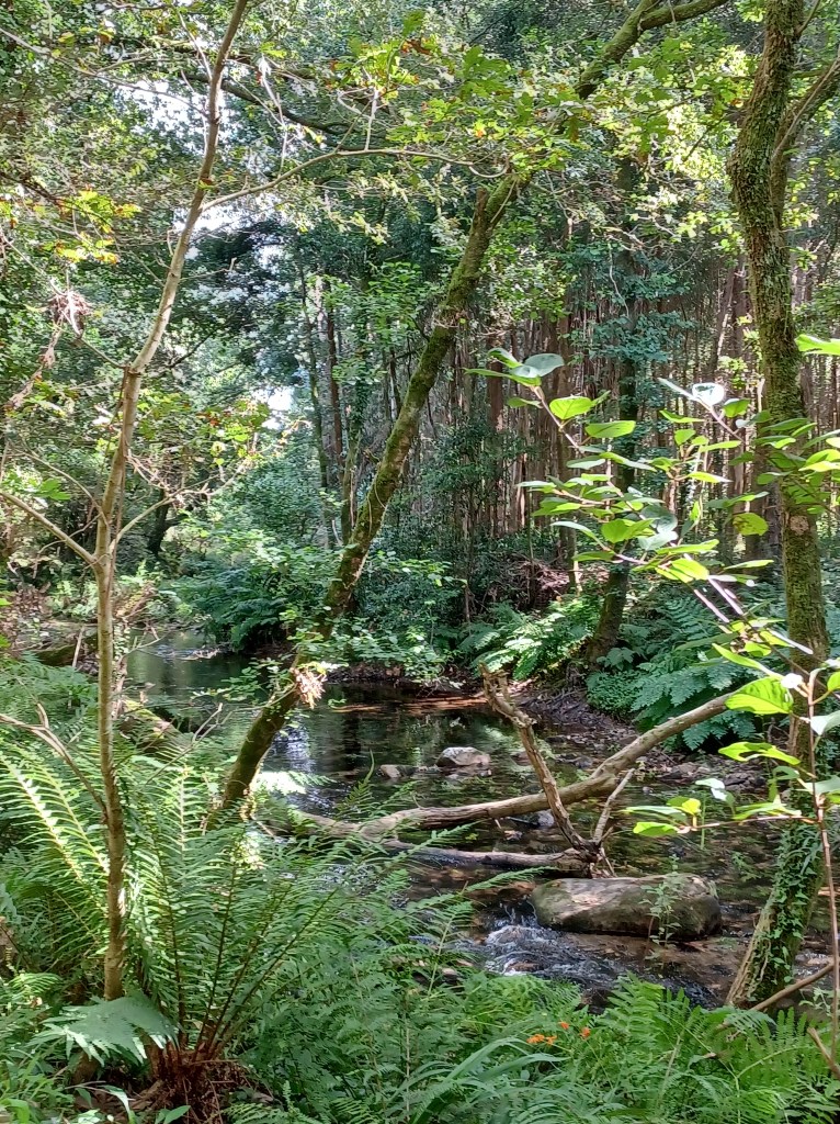
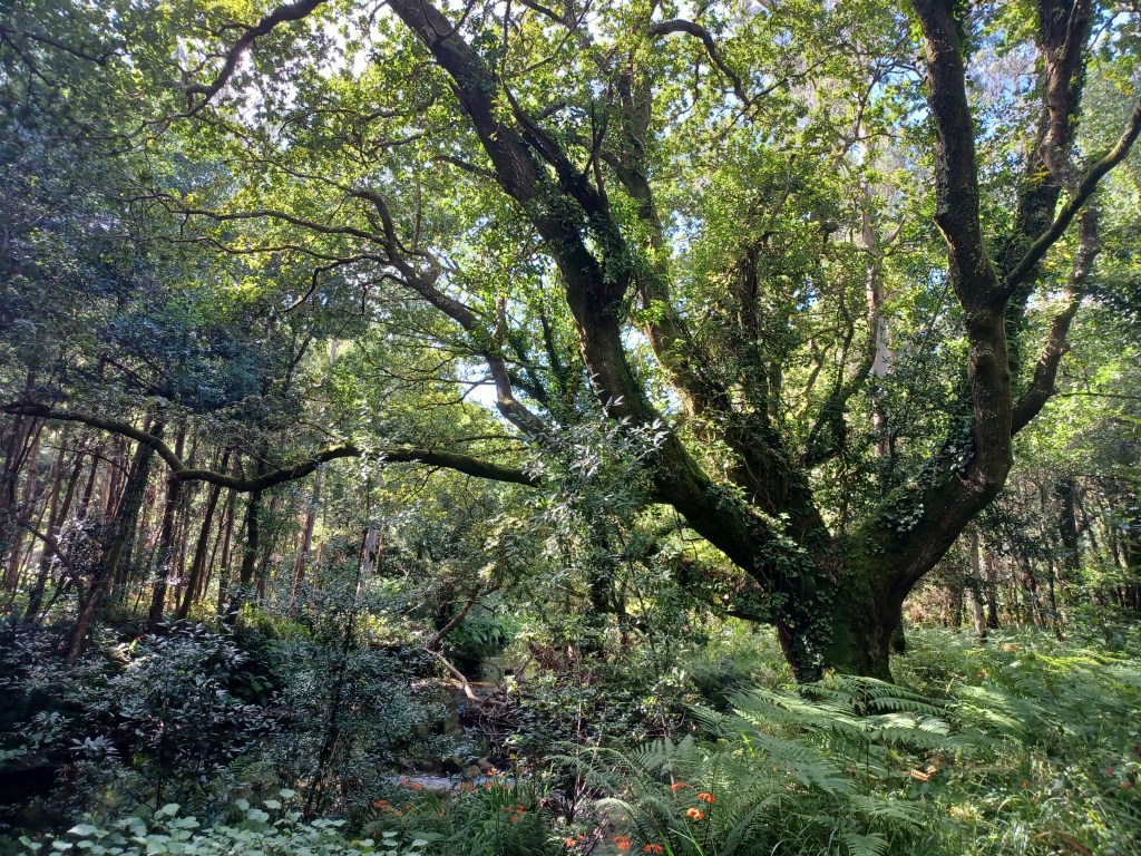
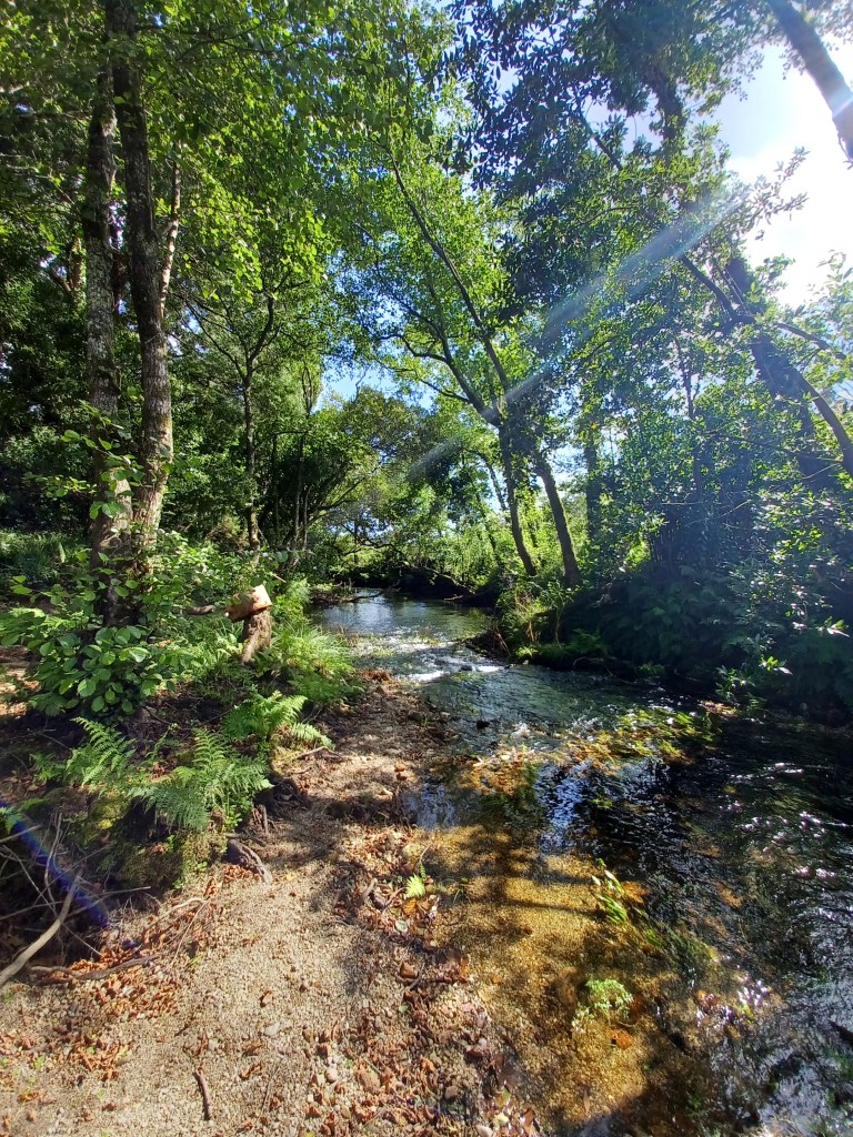
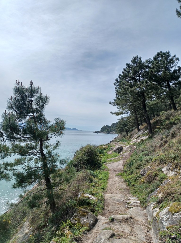
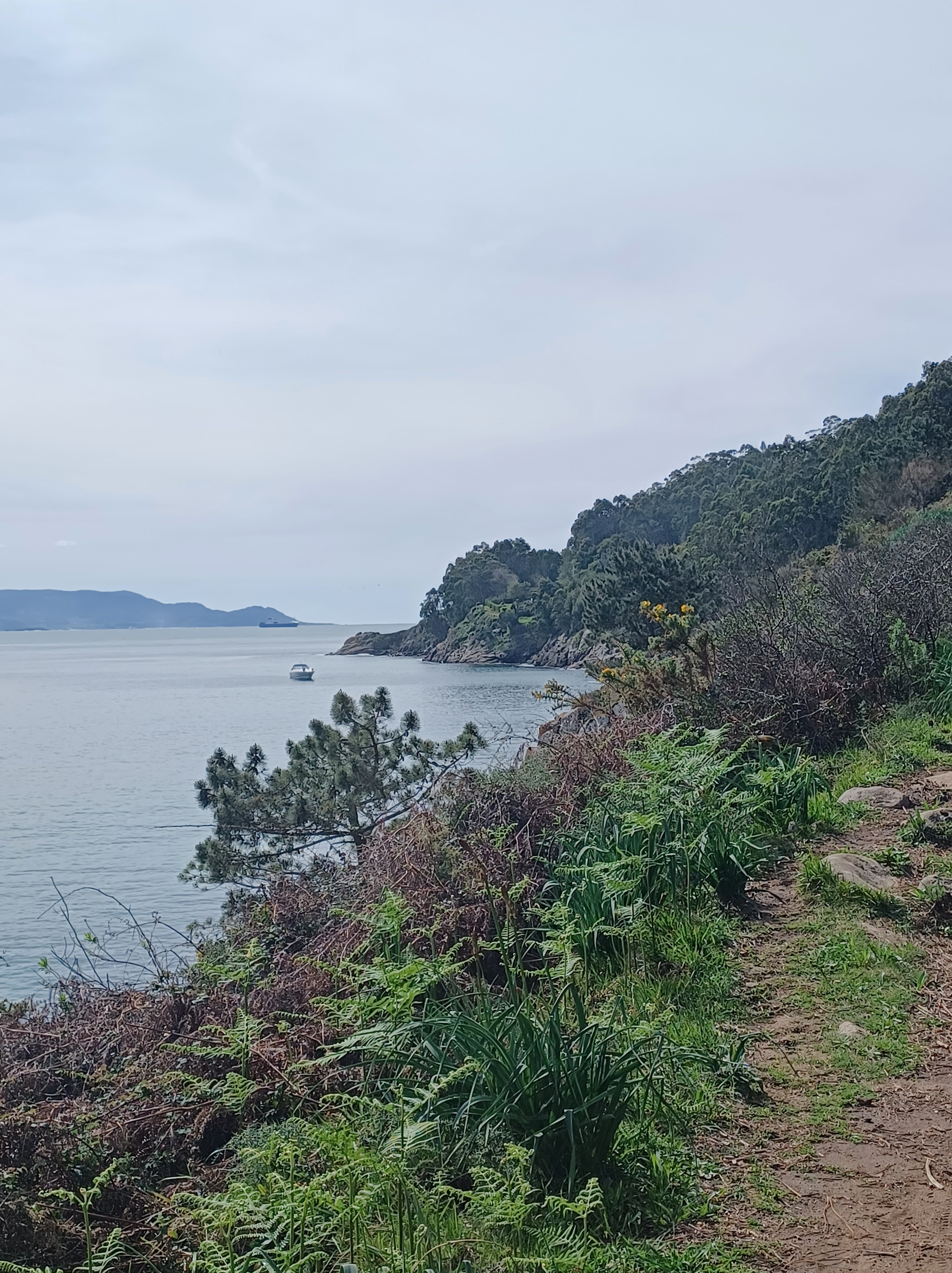
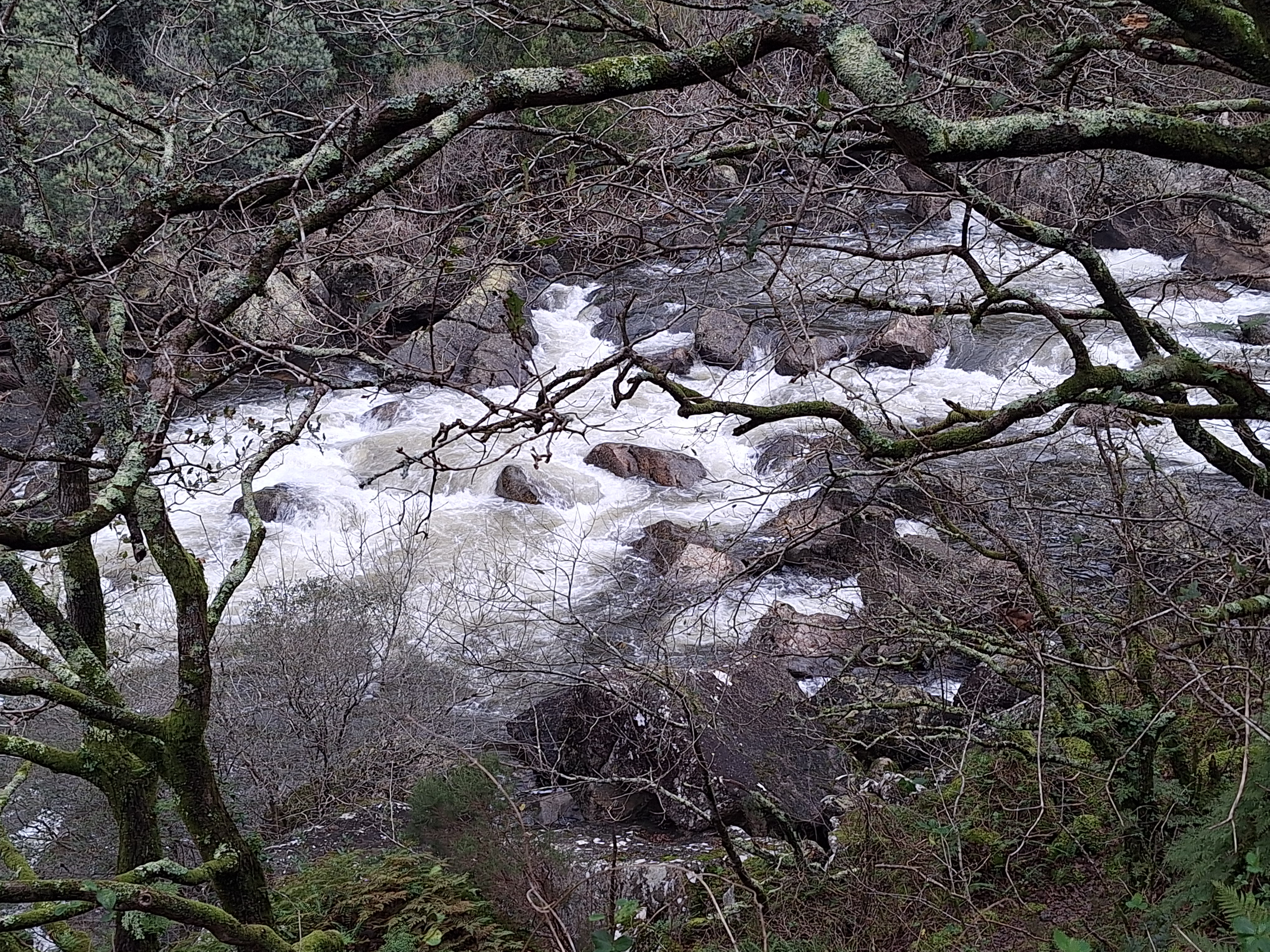
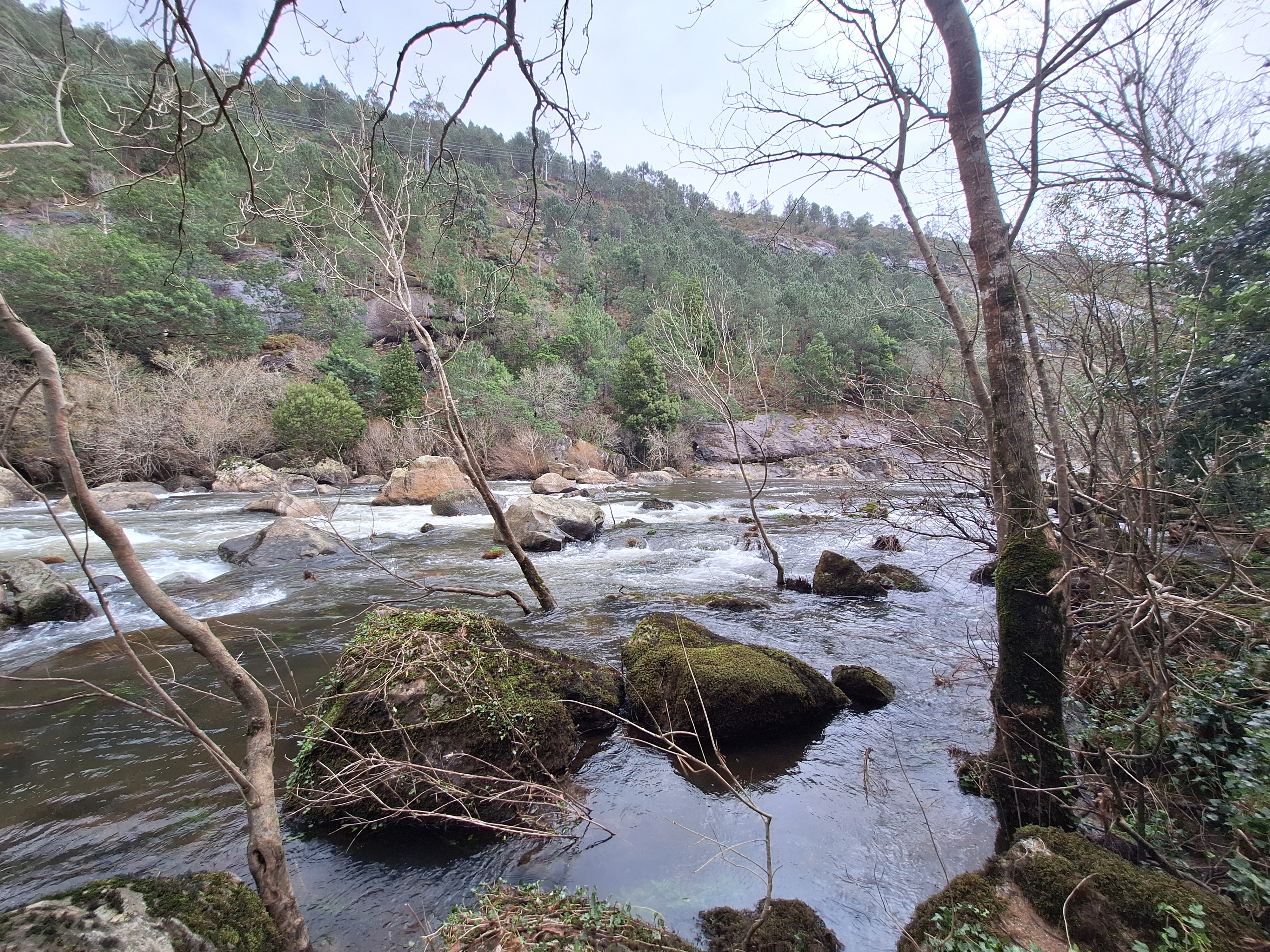
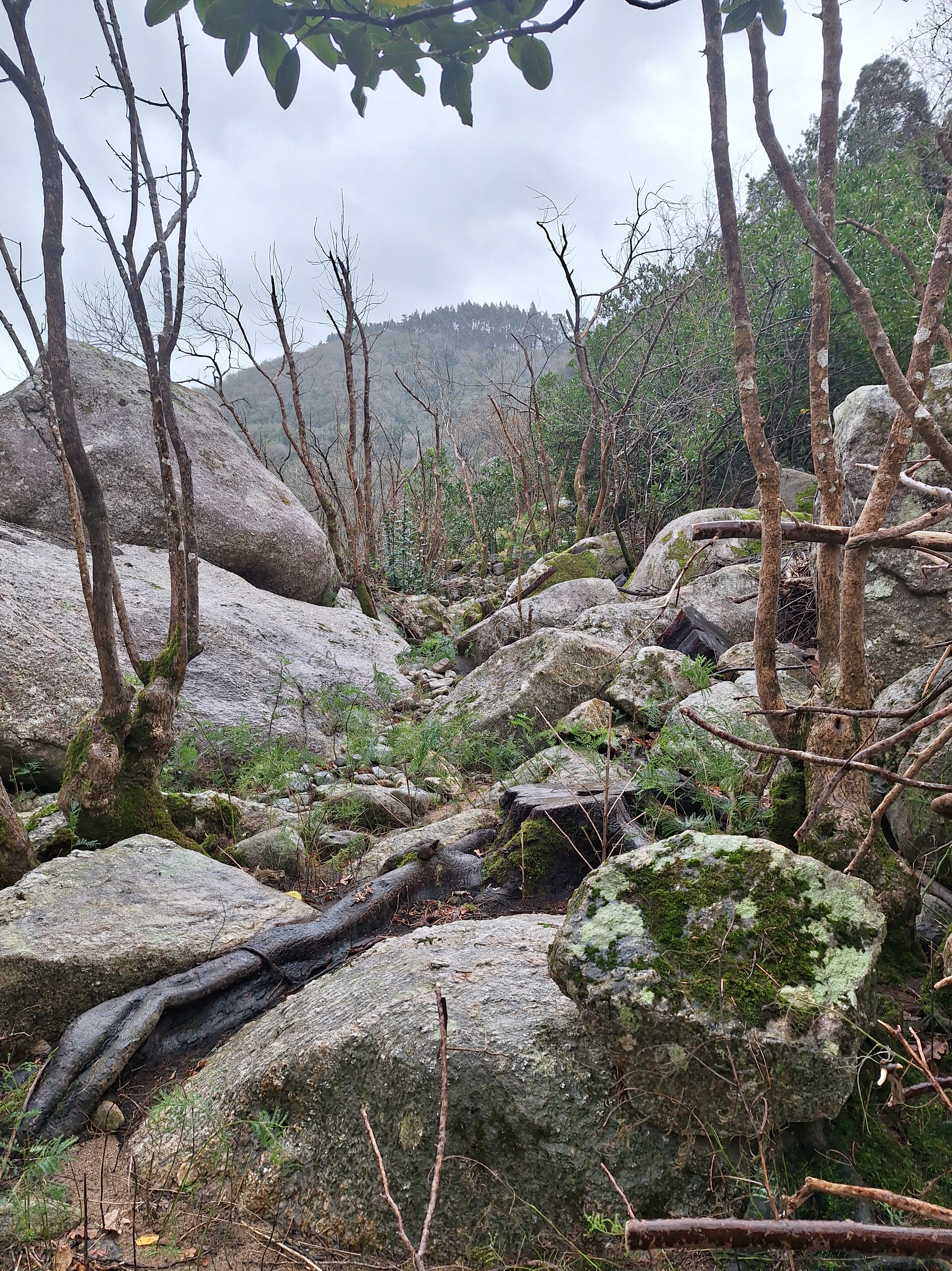
This path was more enclosed and the hills to either side blocked the wind so we took a little hike at this stop.
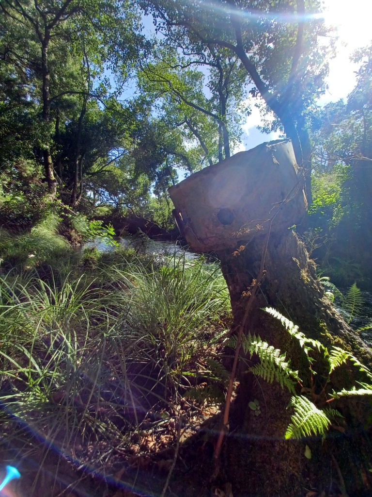
The Hidroelectrico de Rio Tambre was built by architect Antonio Palacios and finished in 1926. Outside there are sculptures and examples of the antique machinery that were once employed here.
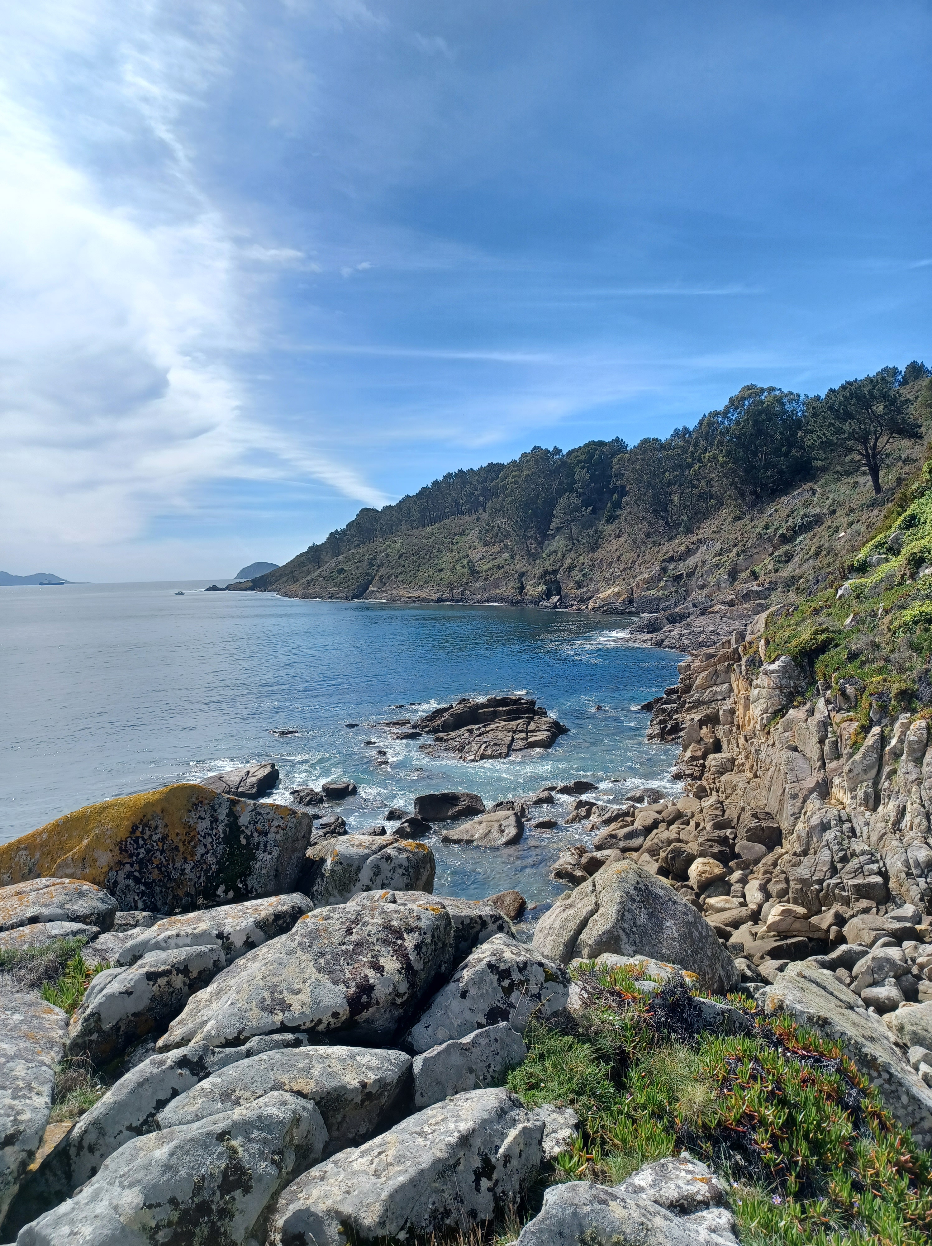
There is a 7-8km hiking trail that runs along the river. The first half was a pretty easy trail, but we did not finish so I don’t know for the rest. Wikiloc has the route here marked as moderate.
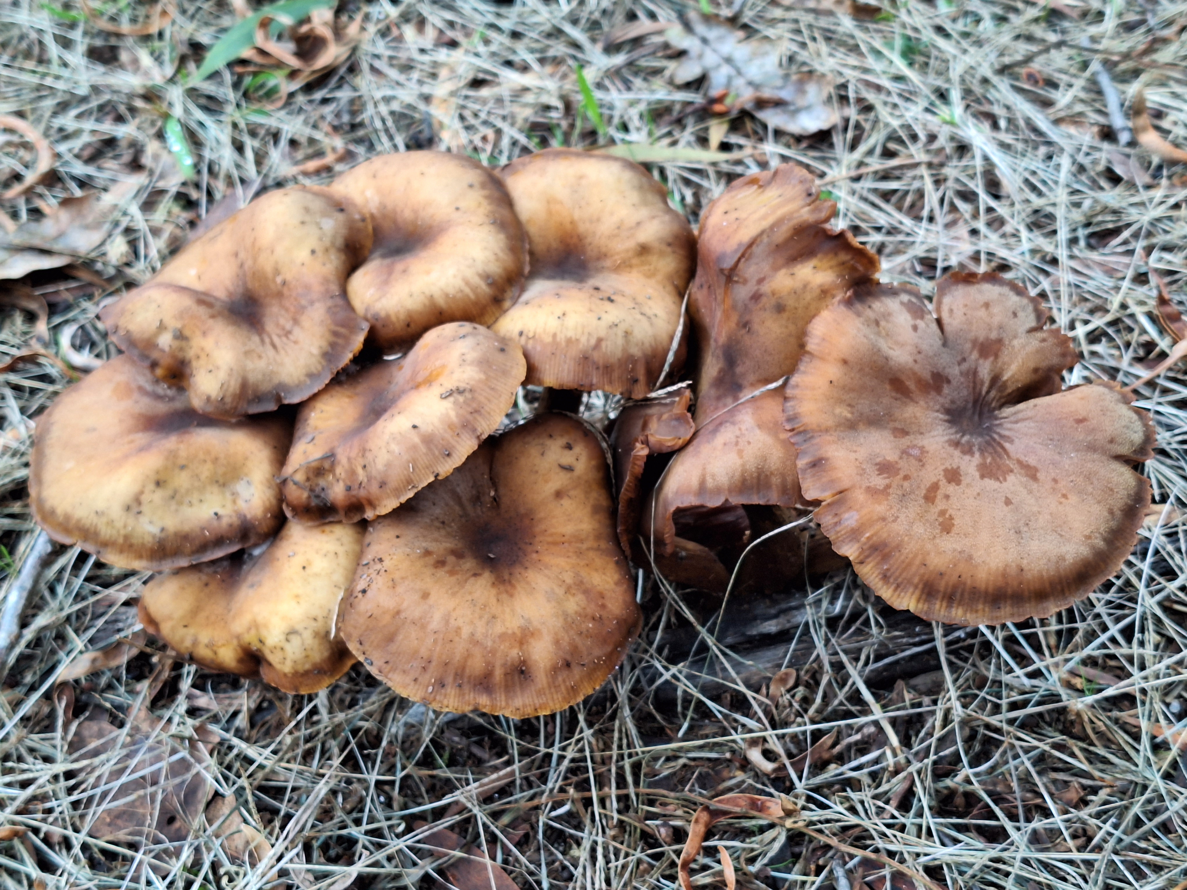
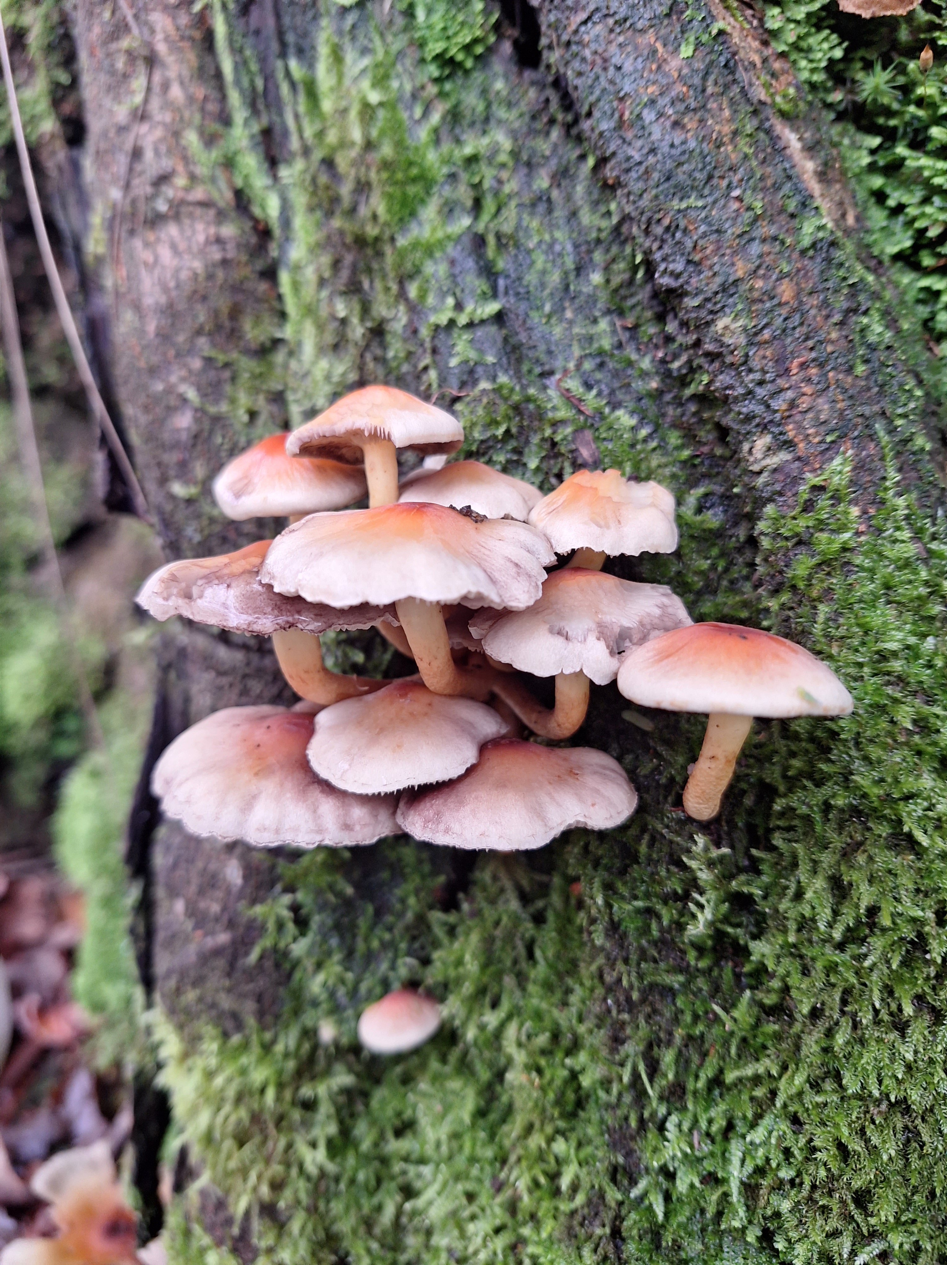
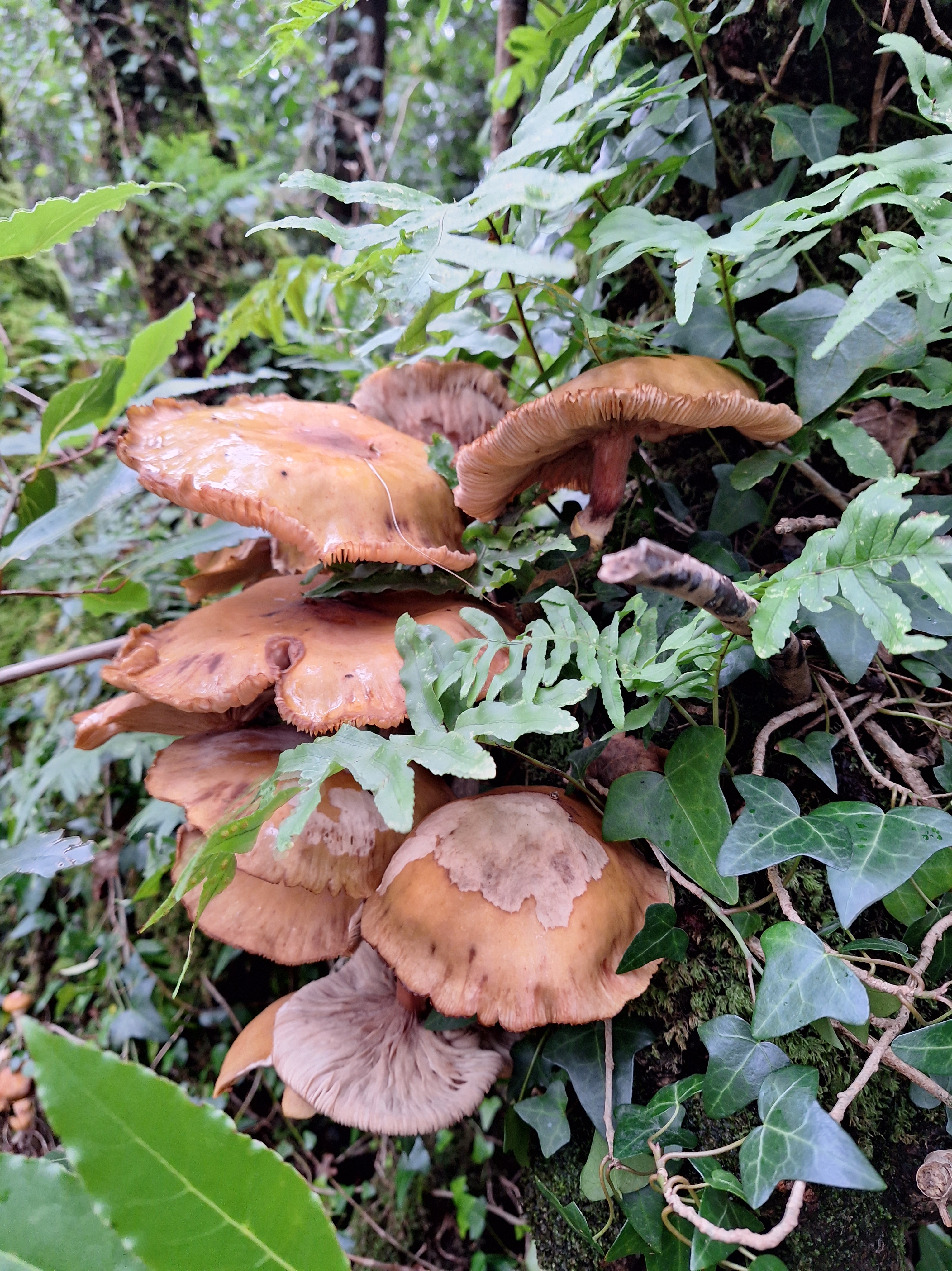
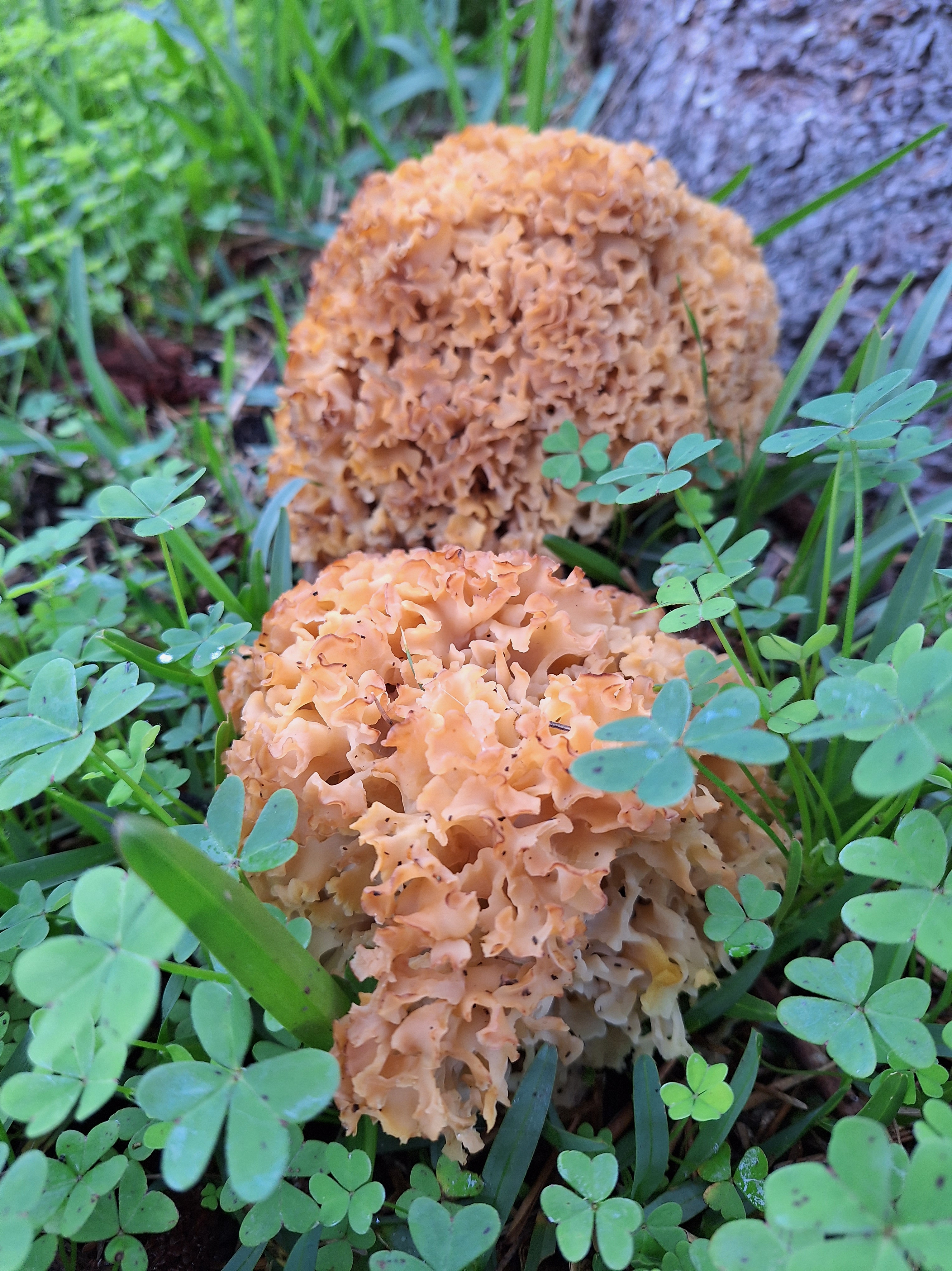
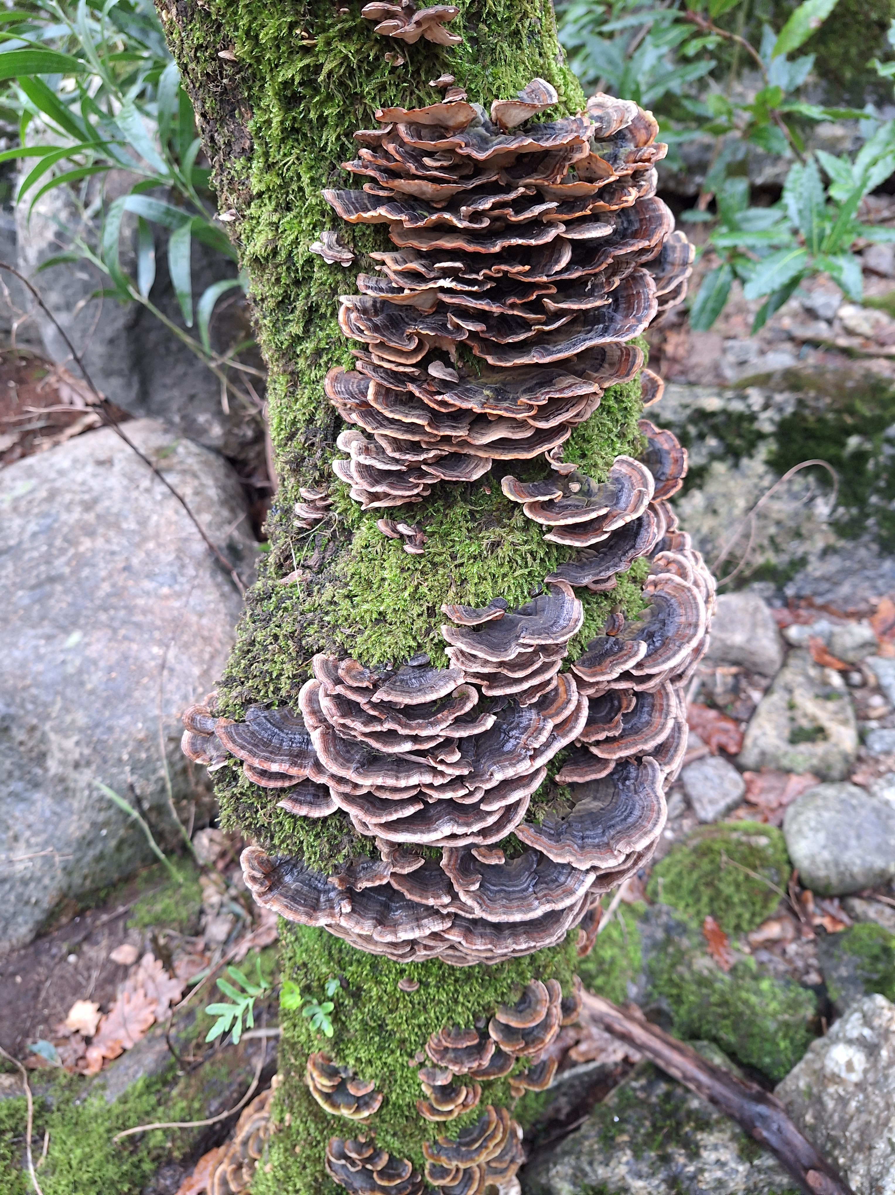
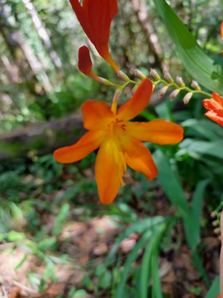
Are any of these edible? If you know please comment below. I do not know much about mushrooms, but Galicia has a lot. We always joke about whether it is food or deadly, but I have never been certain enough to try. The books I have bought always show a very perfect example or different stage and I can never place them with enough certainty to try.