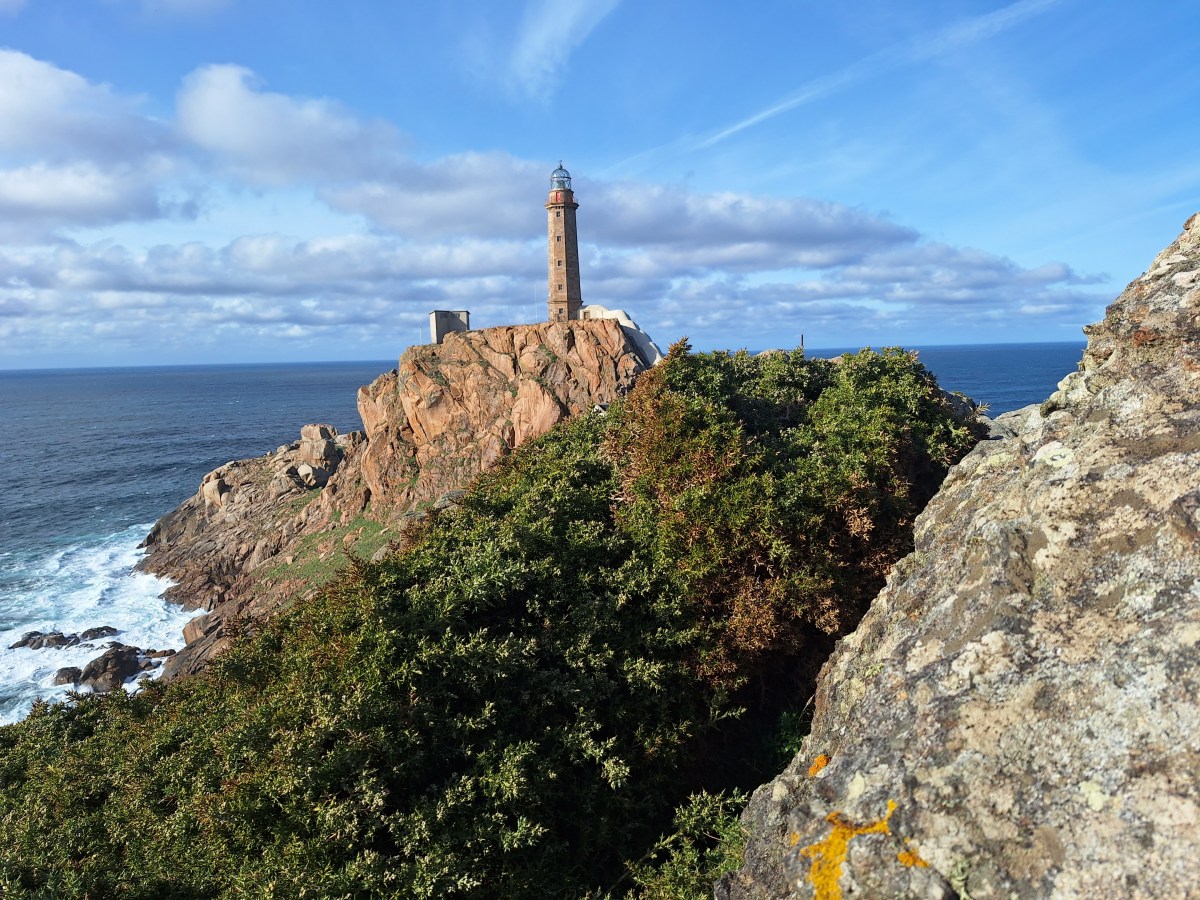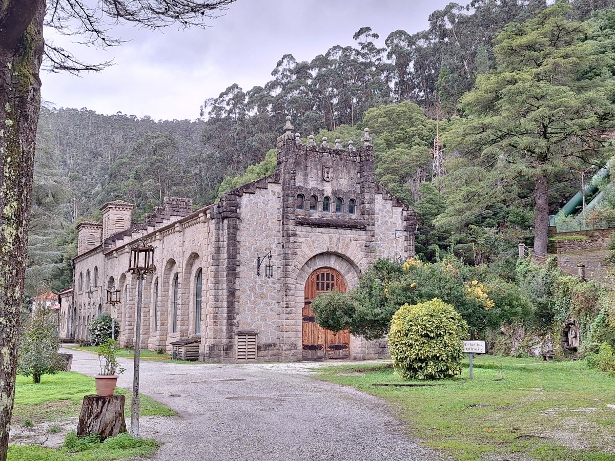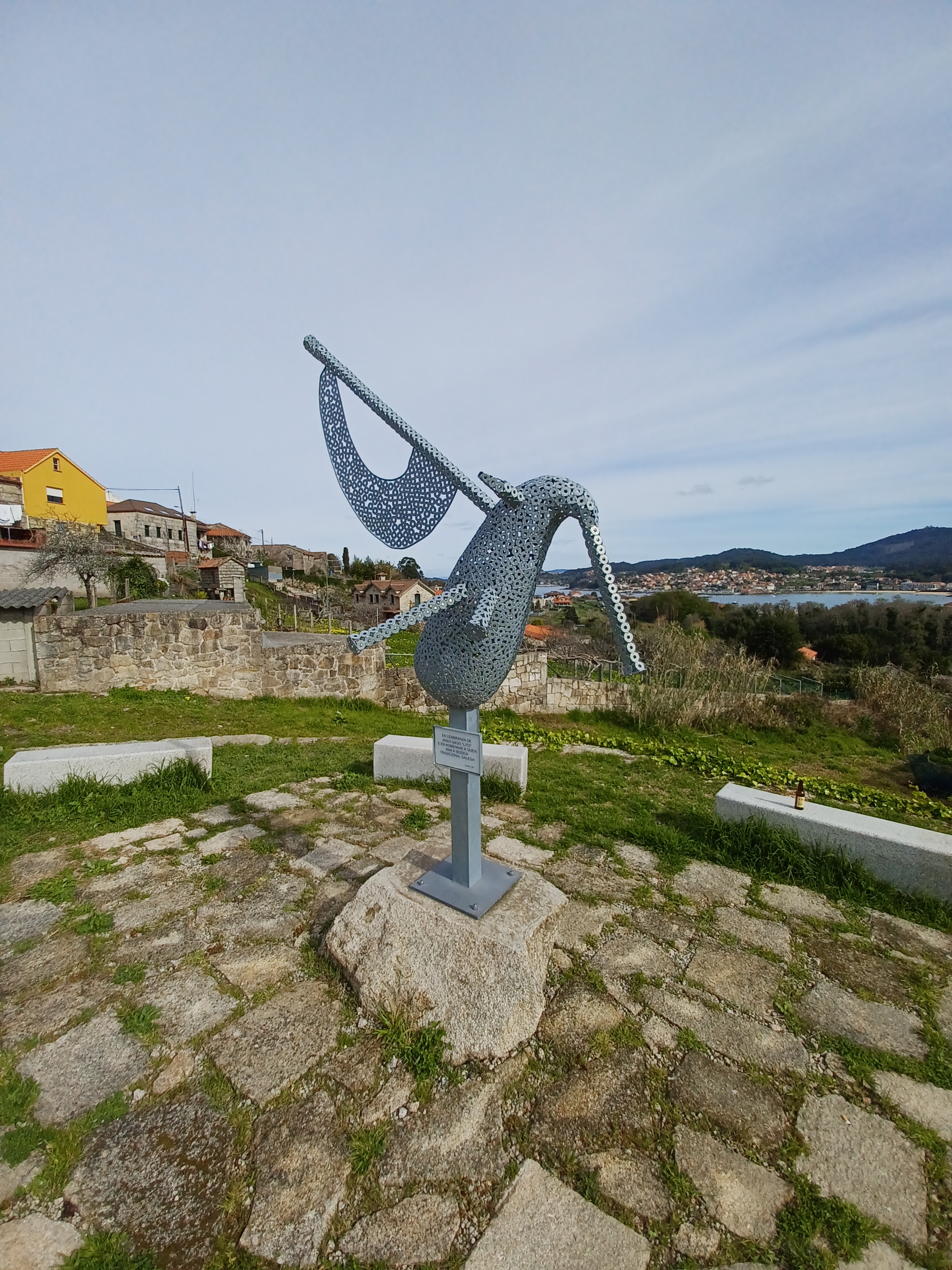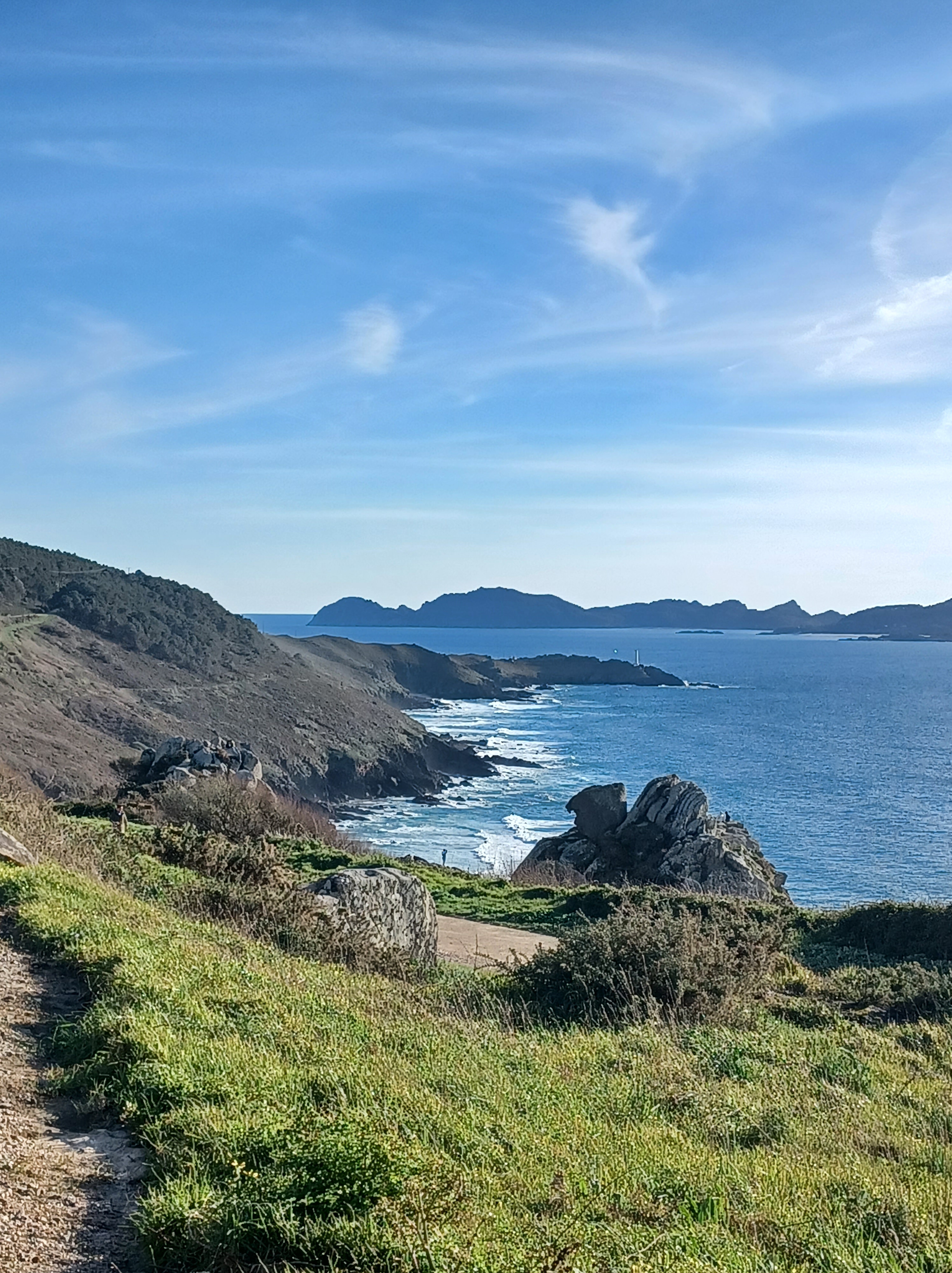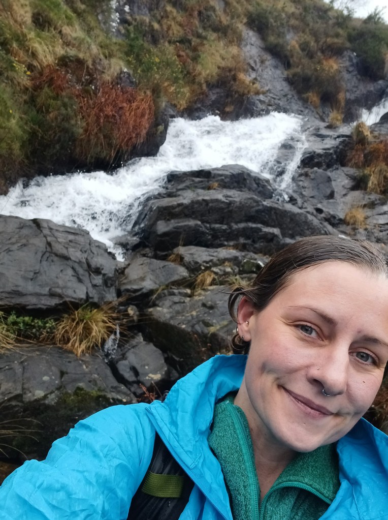
This one is incredible. I am not giving the name because this place is not prepared to handle any influx in tourism. There is no infrastructure to support parking or cleaning up after strangers. I think this gem is best left to the local community. If it is meant for tourism one day, I will add the location.
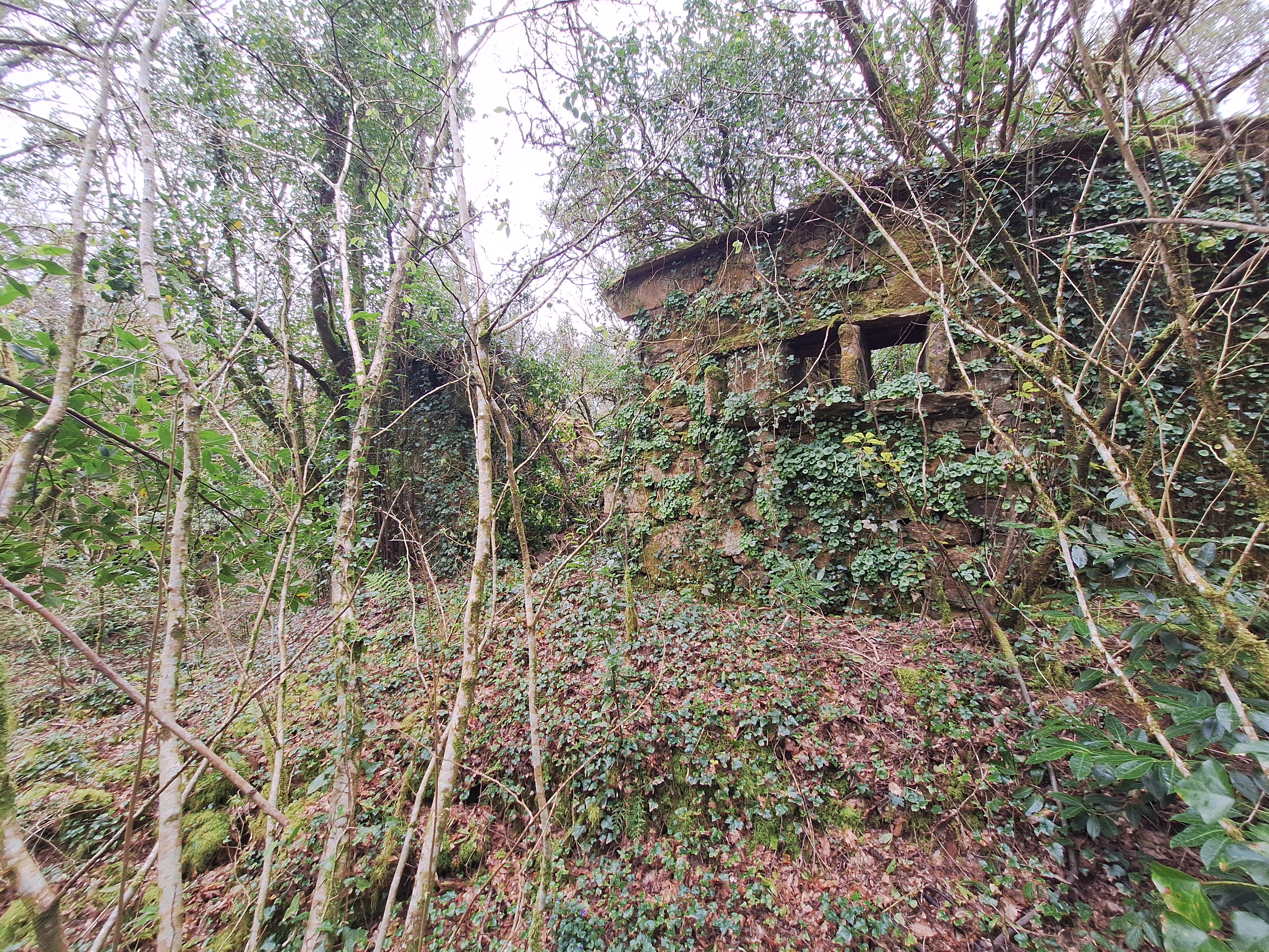
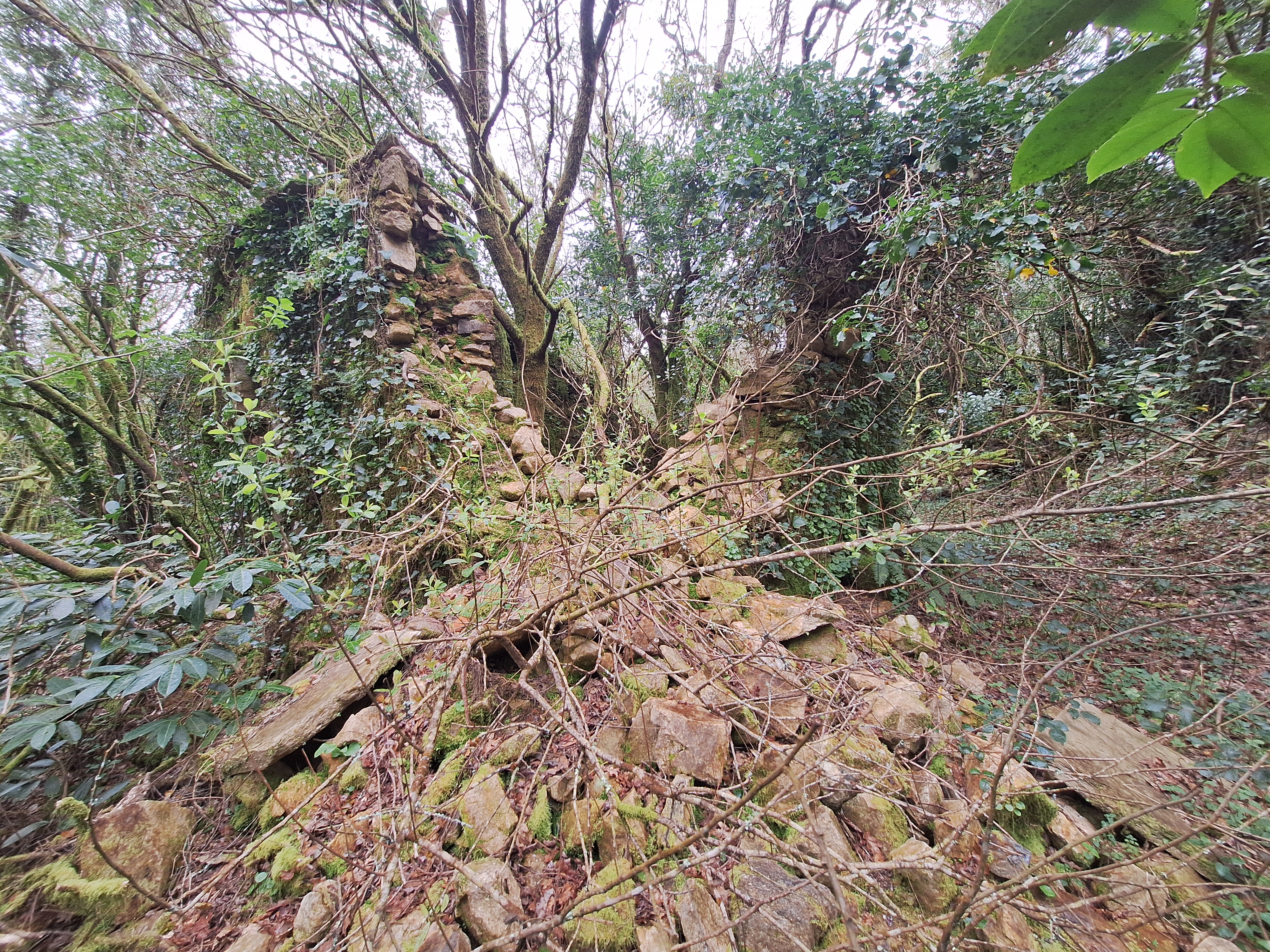
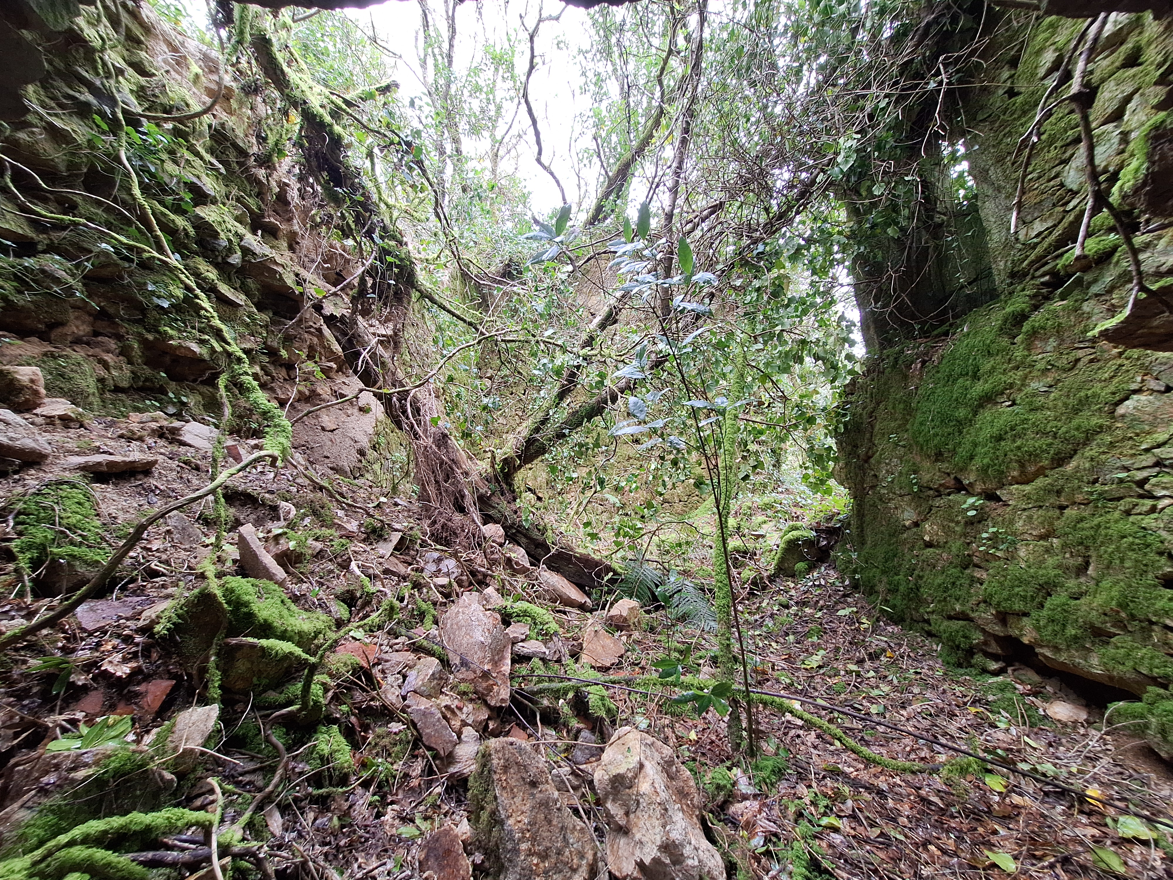
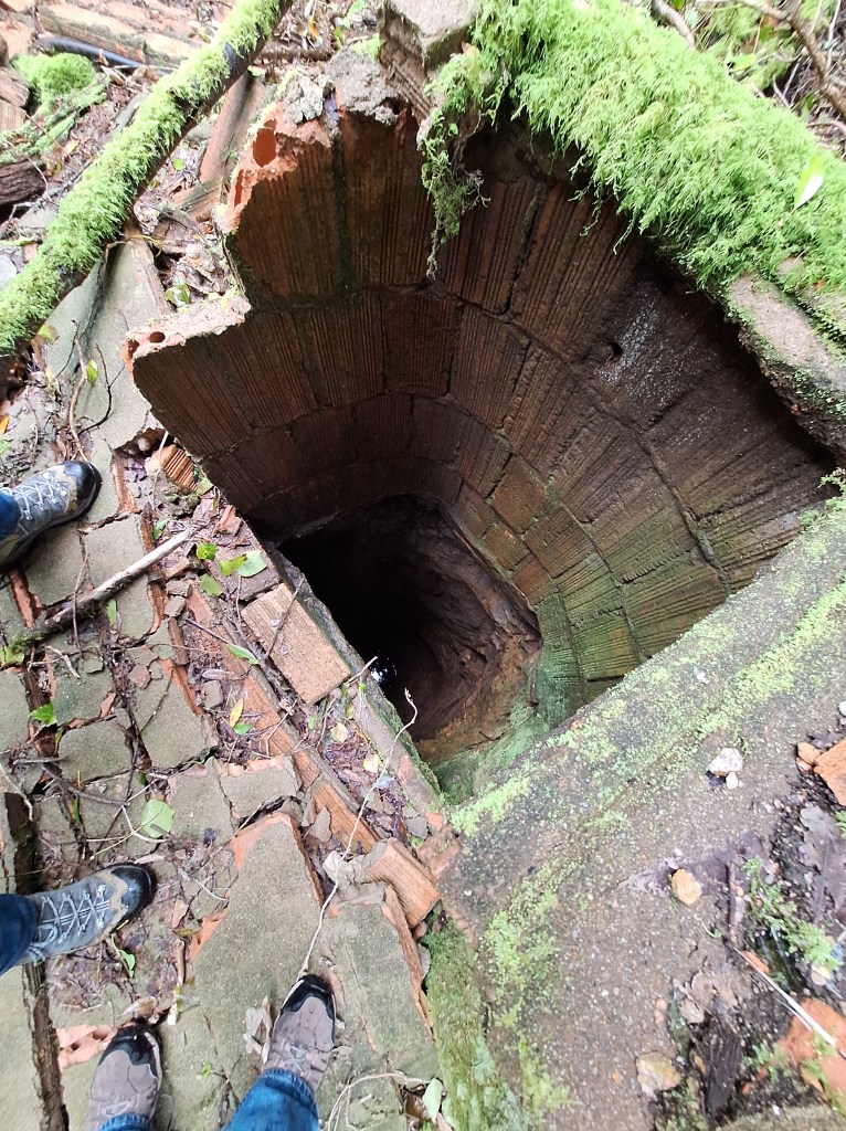
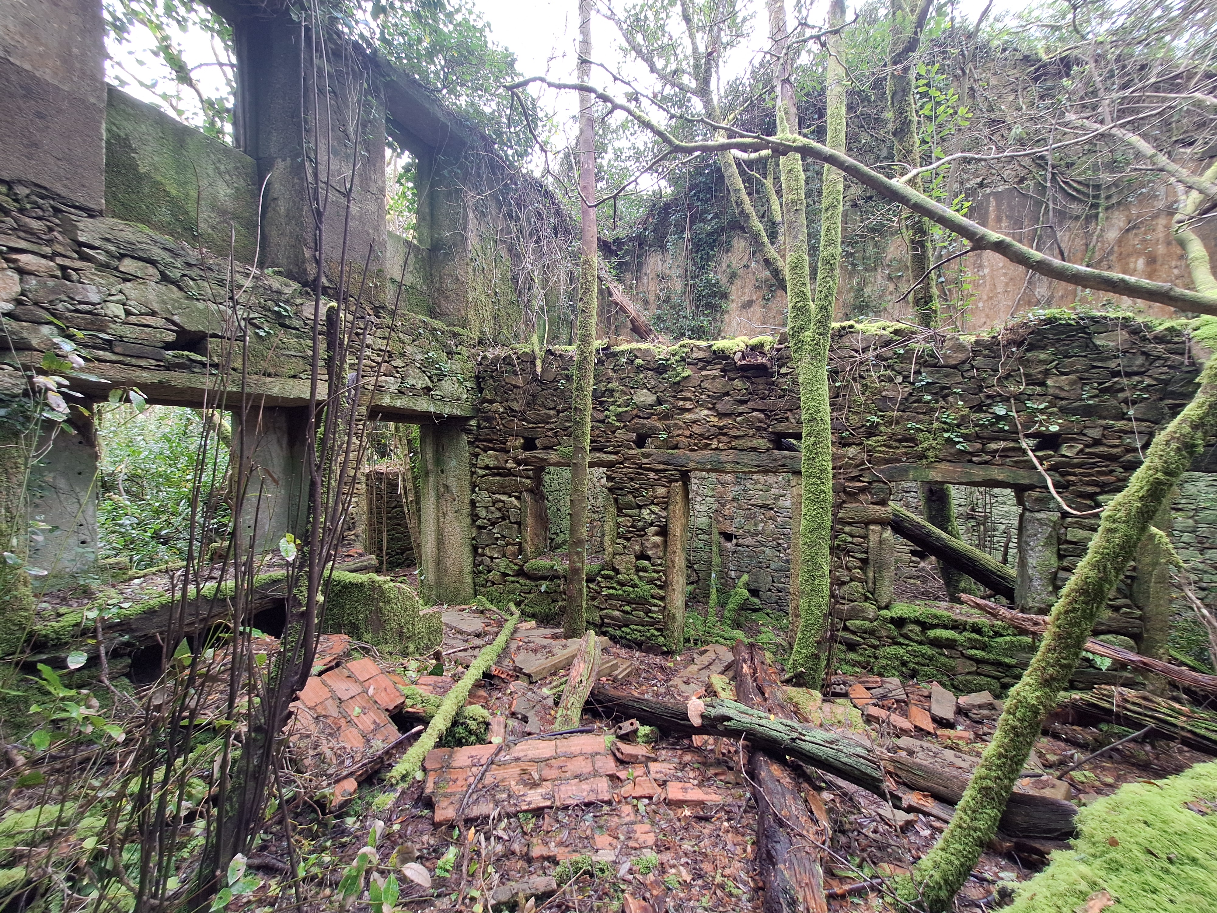
Generally, I want to say it is largely unsafe to visit. The stone houses are collapsing, there are three open wells, tilting walls that have not yet collapsed, and I don’t know what else.
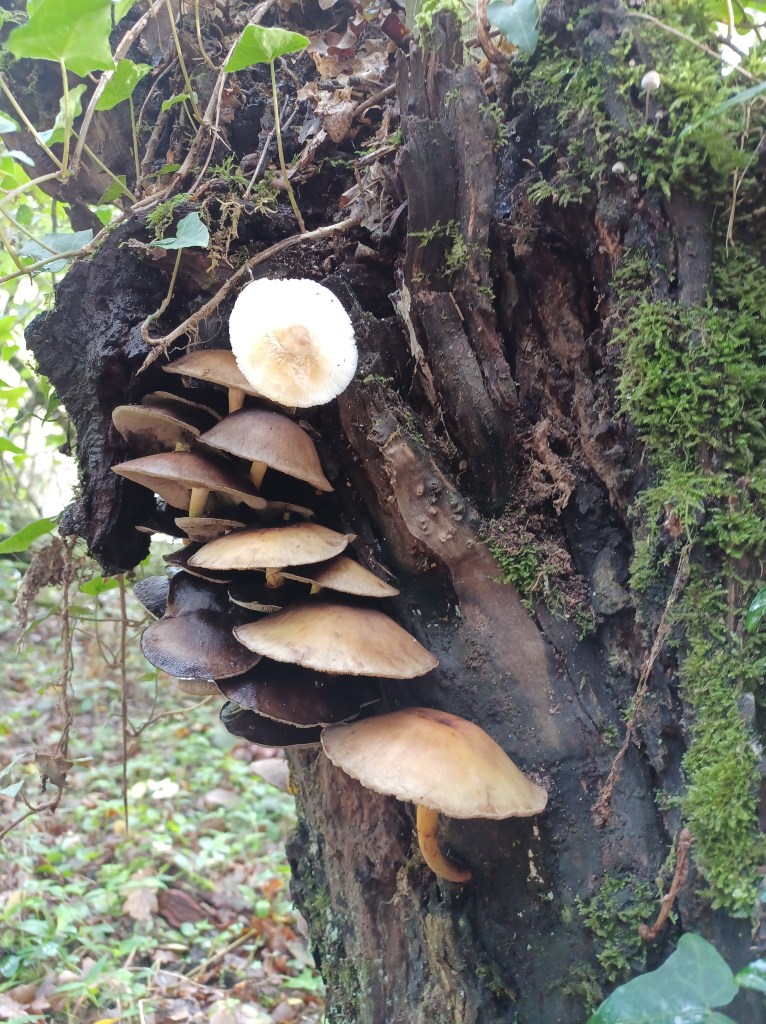
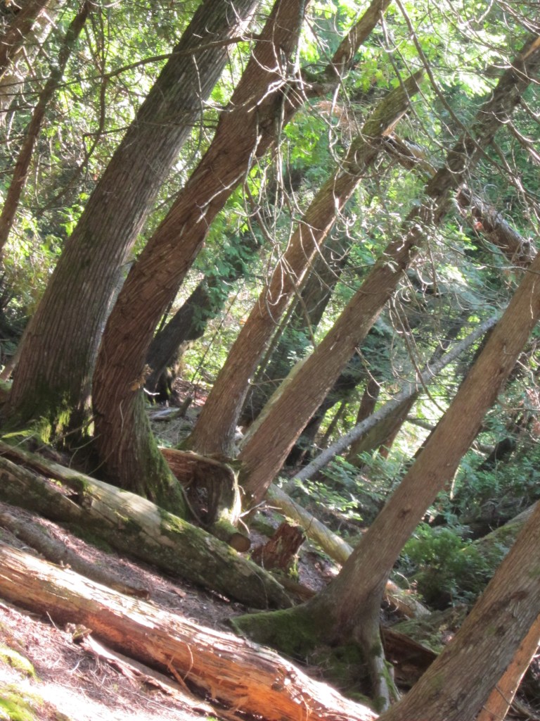
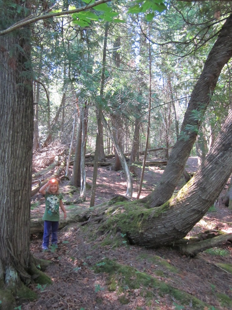
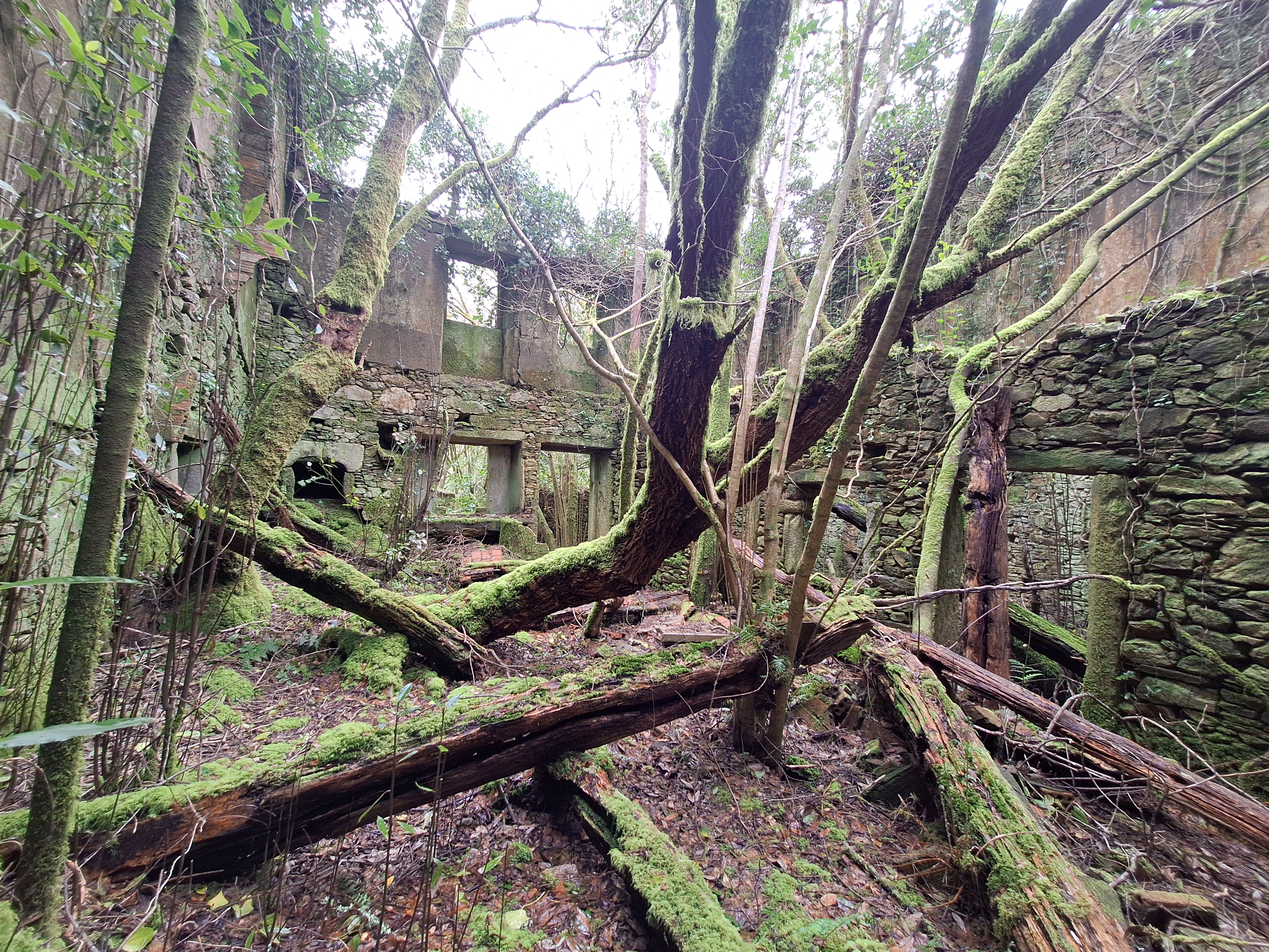
But it is also, incredibly beautiful. It is just a stroll around a small village abandoned 30 years ago or more.
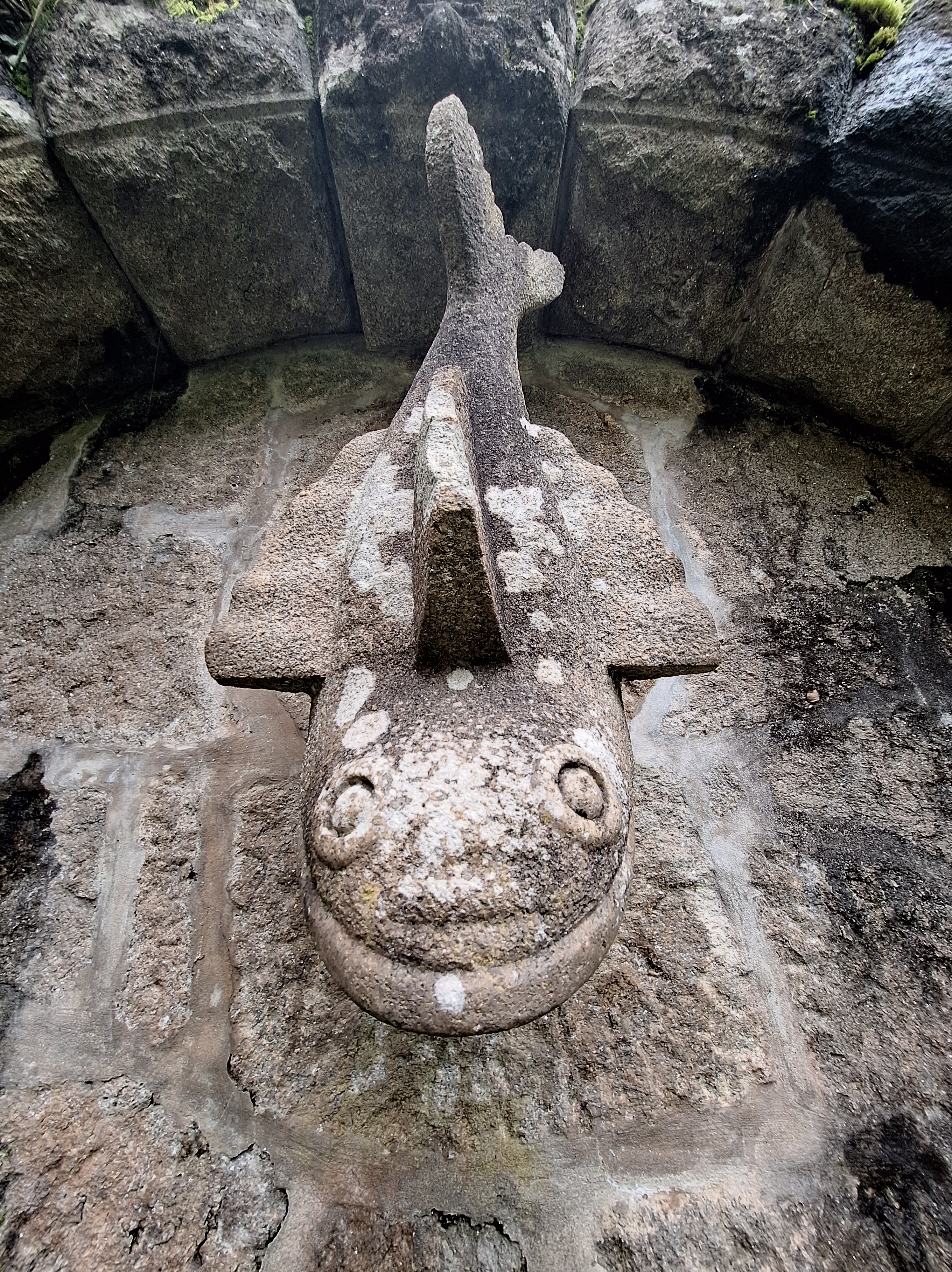
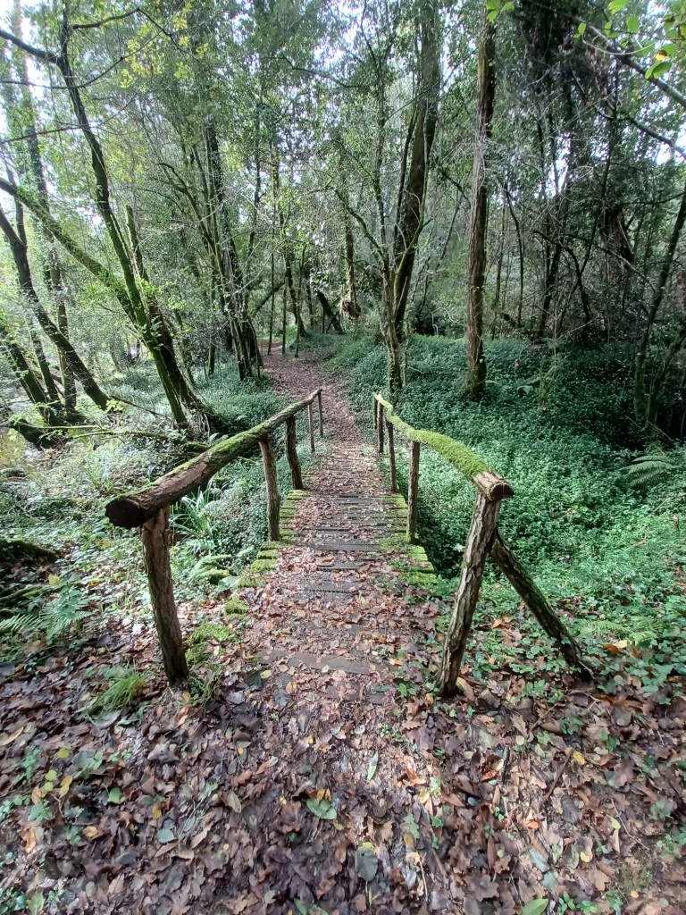
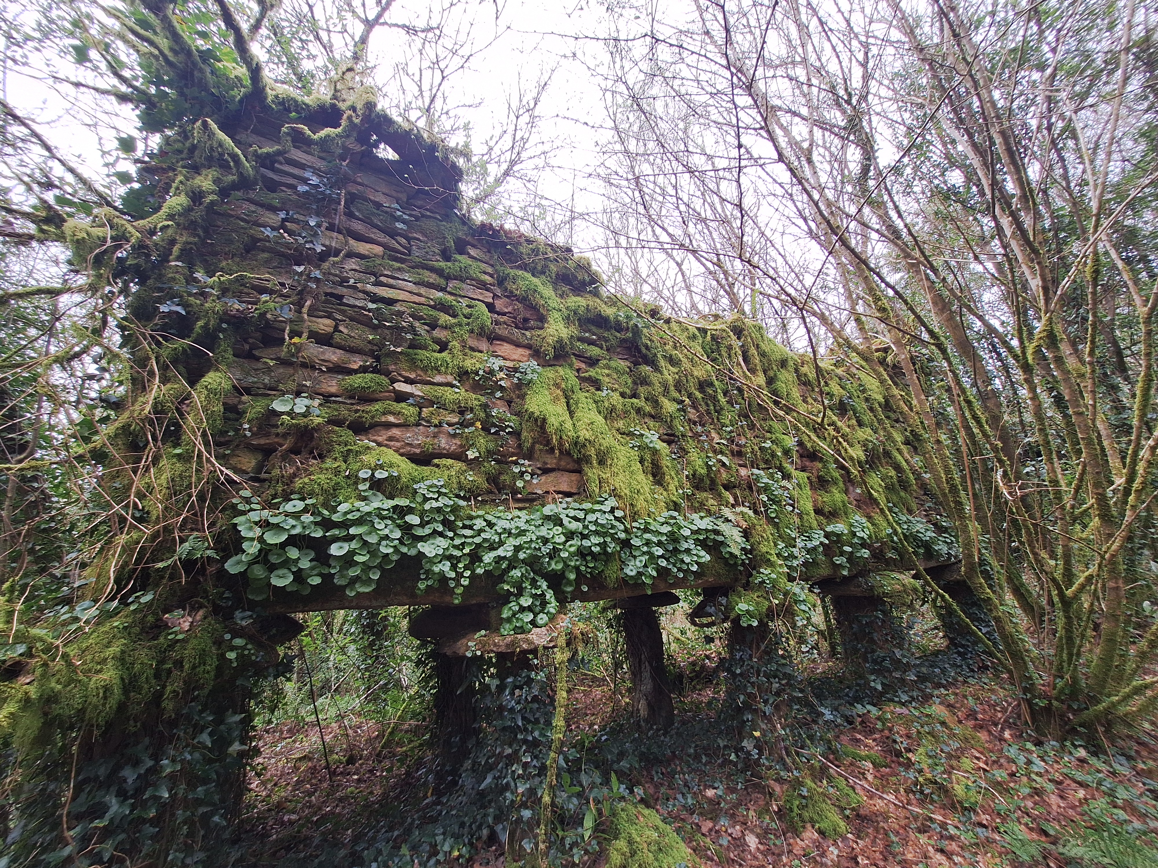
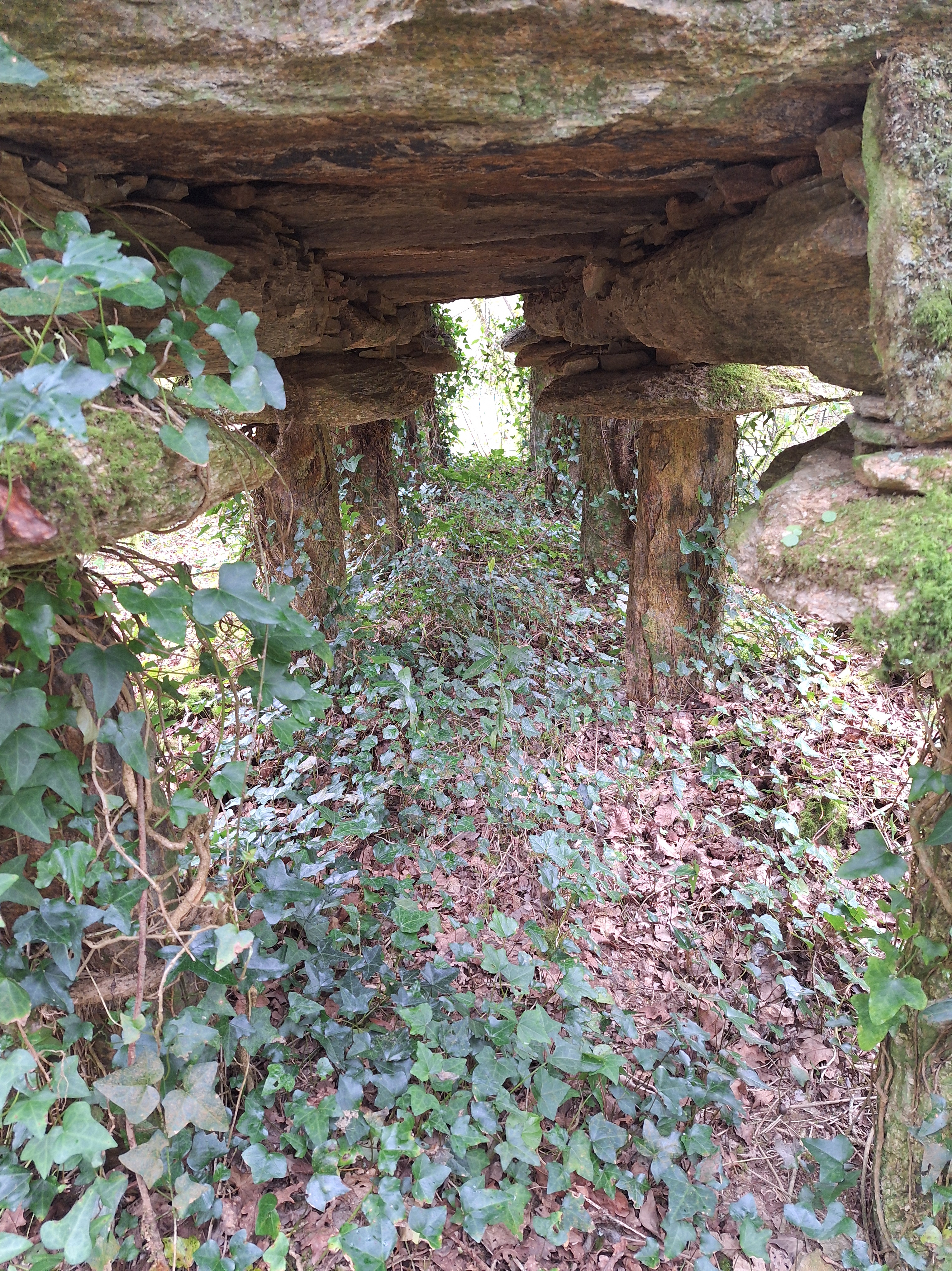
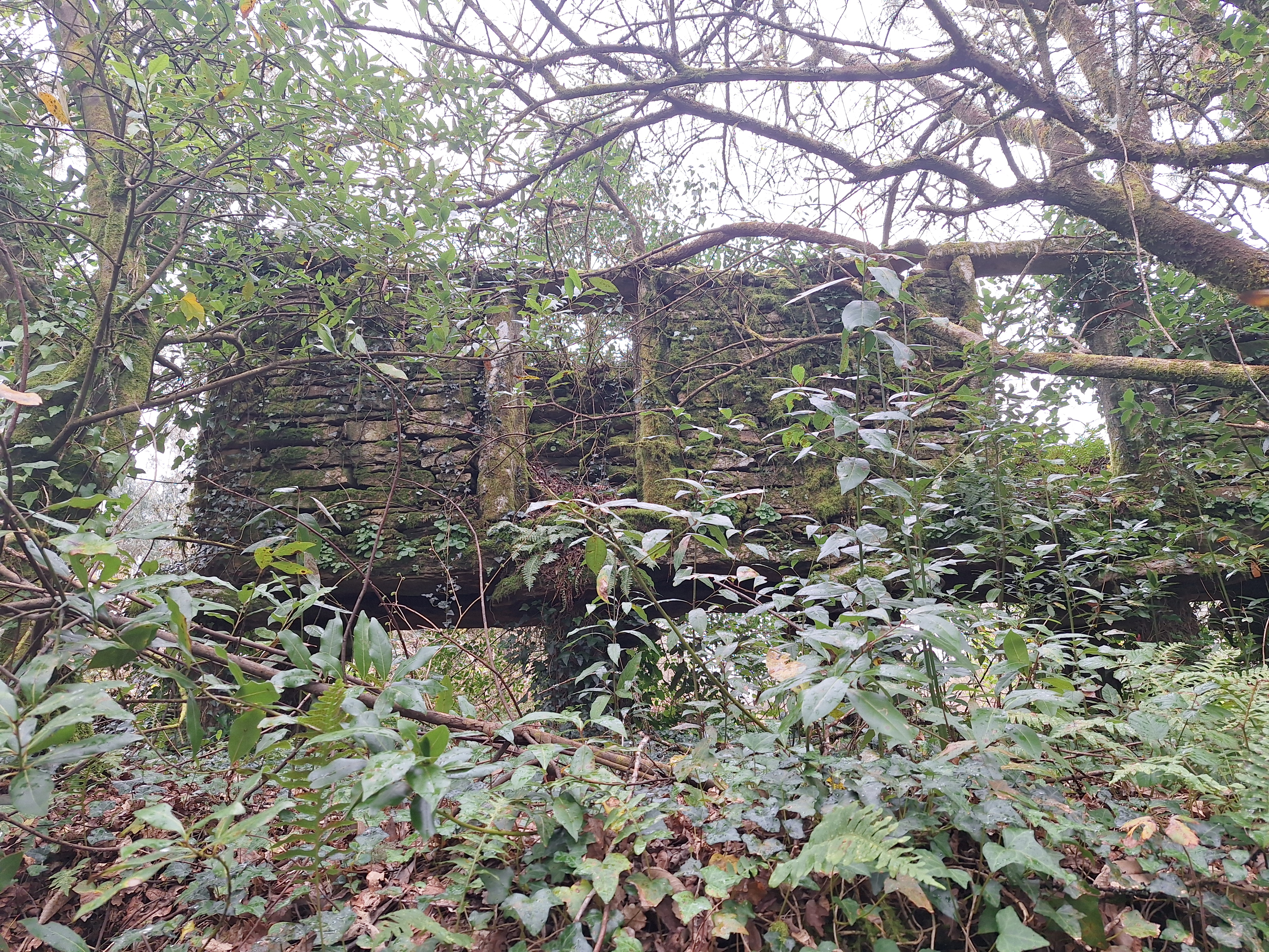
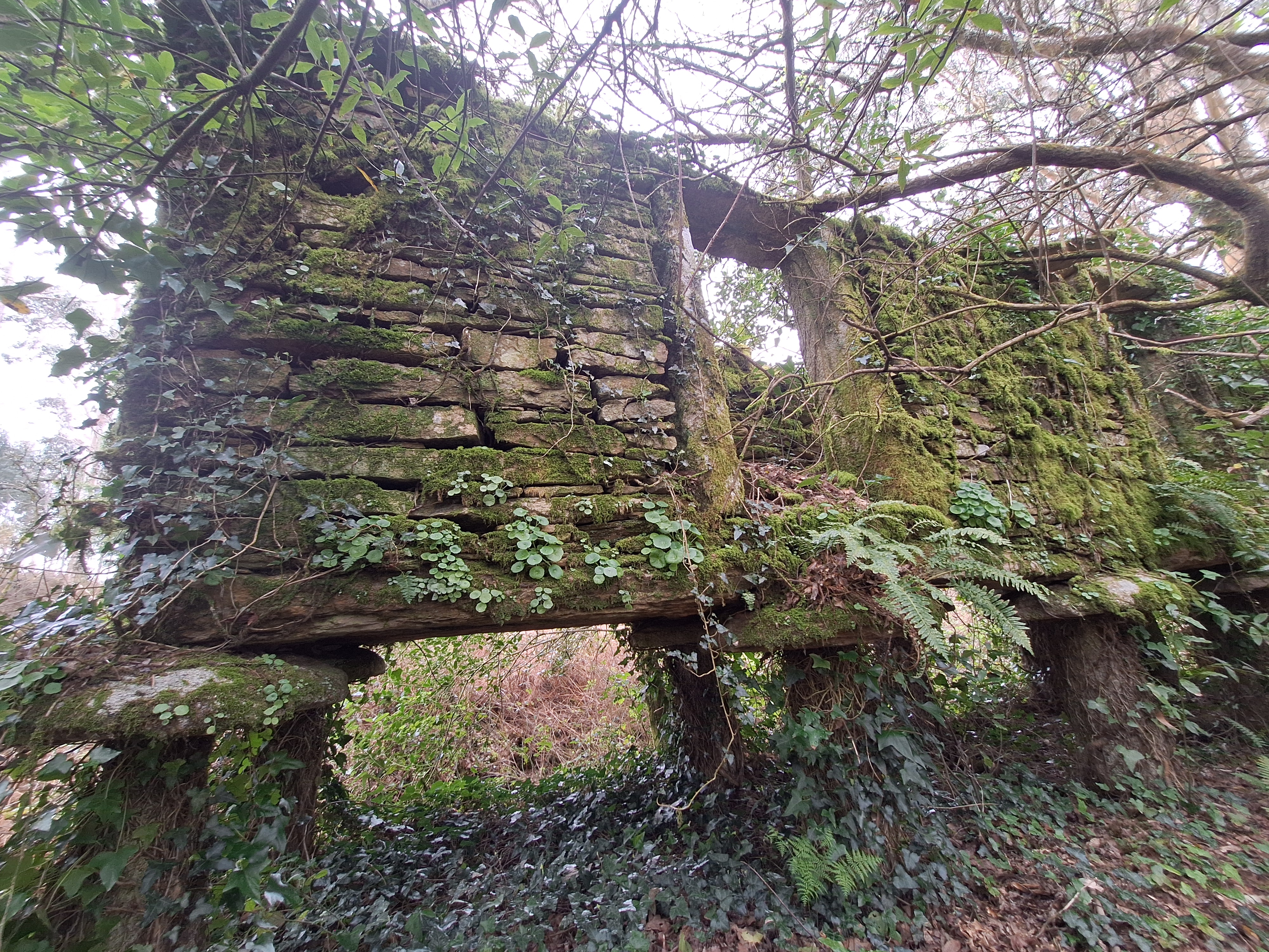
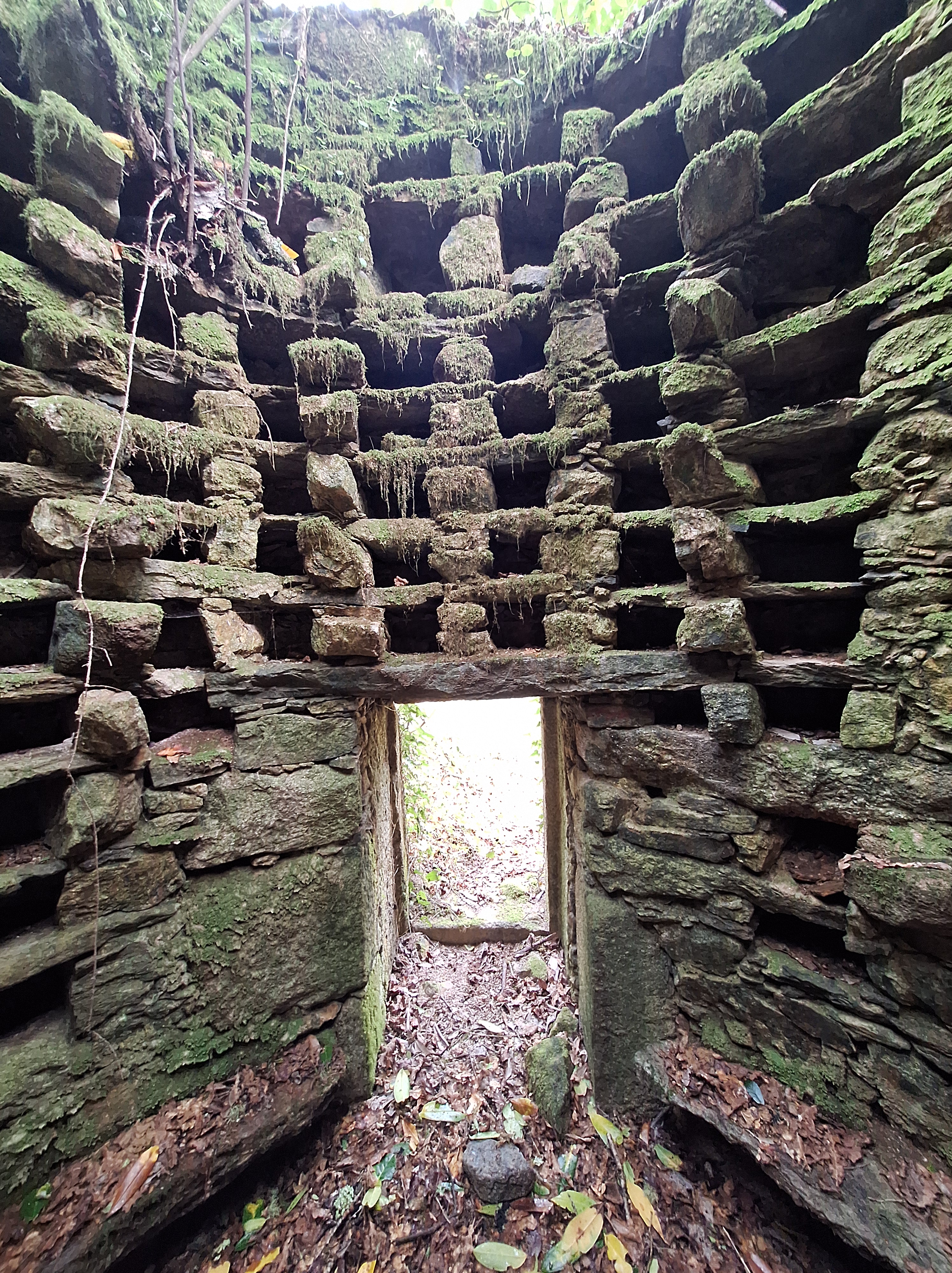
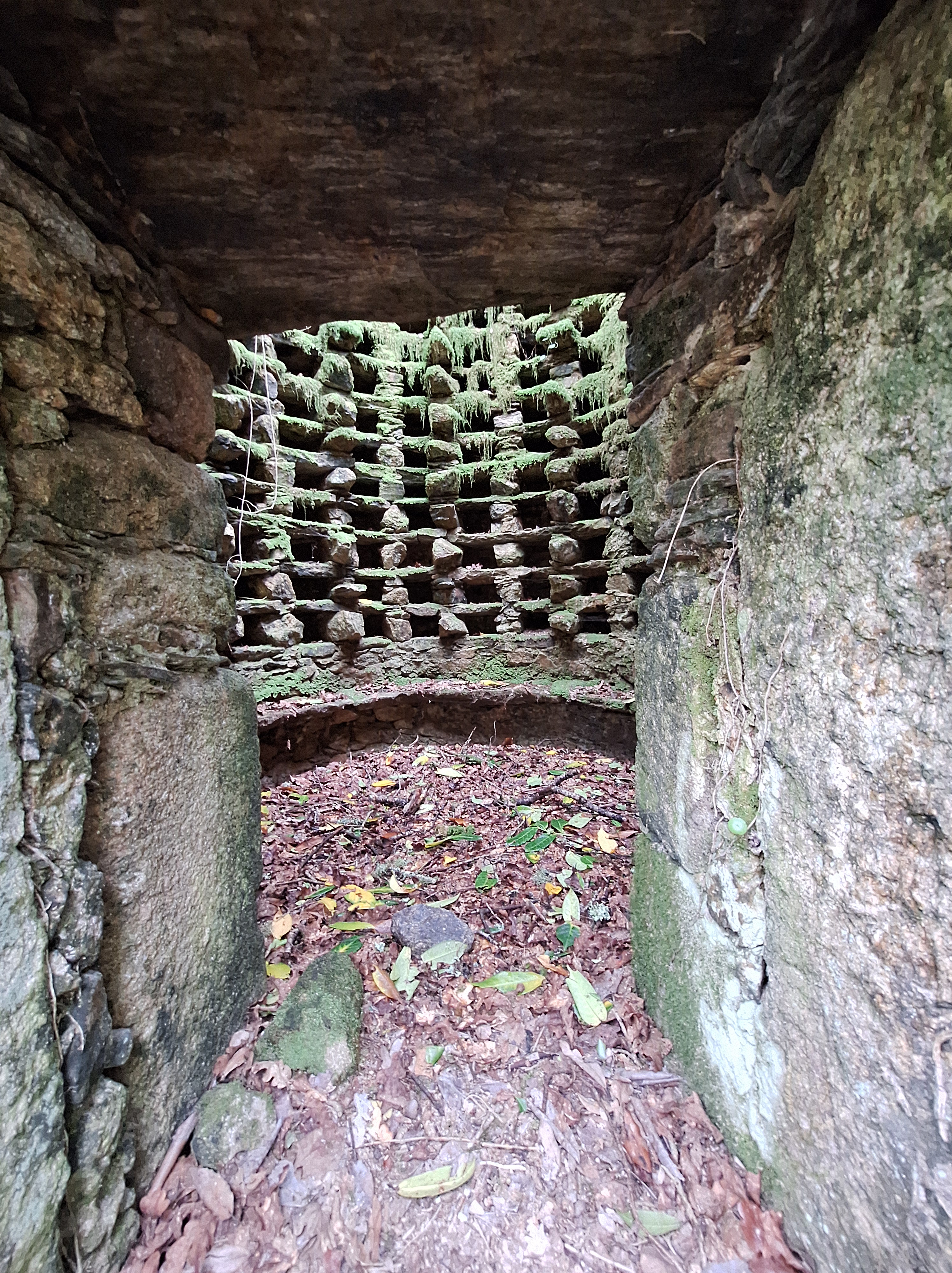
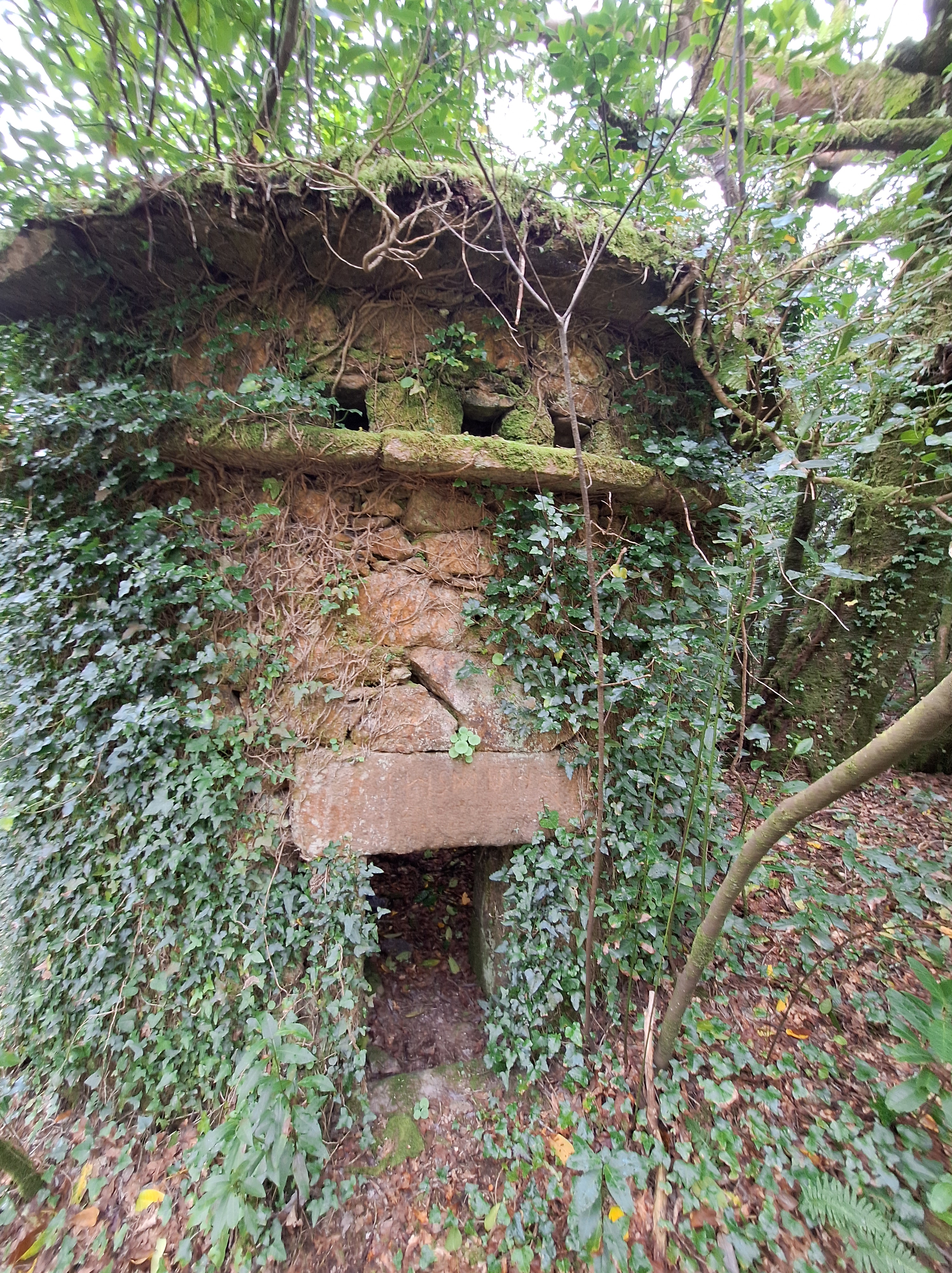
The first thing you will see on the short trail is this Costa da Morta style hórreo – stone bricks with mushroom pillars at the base.
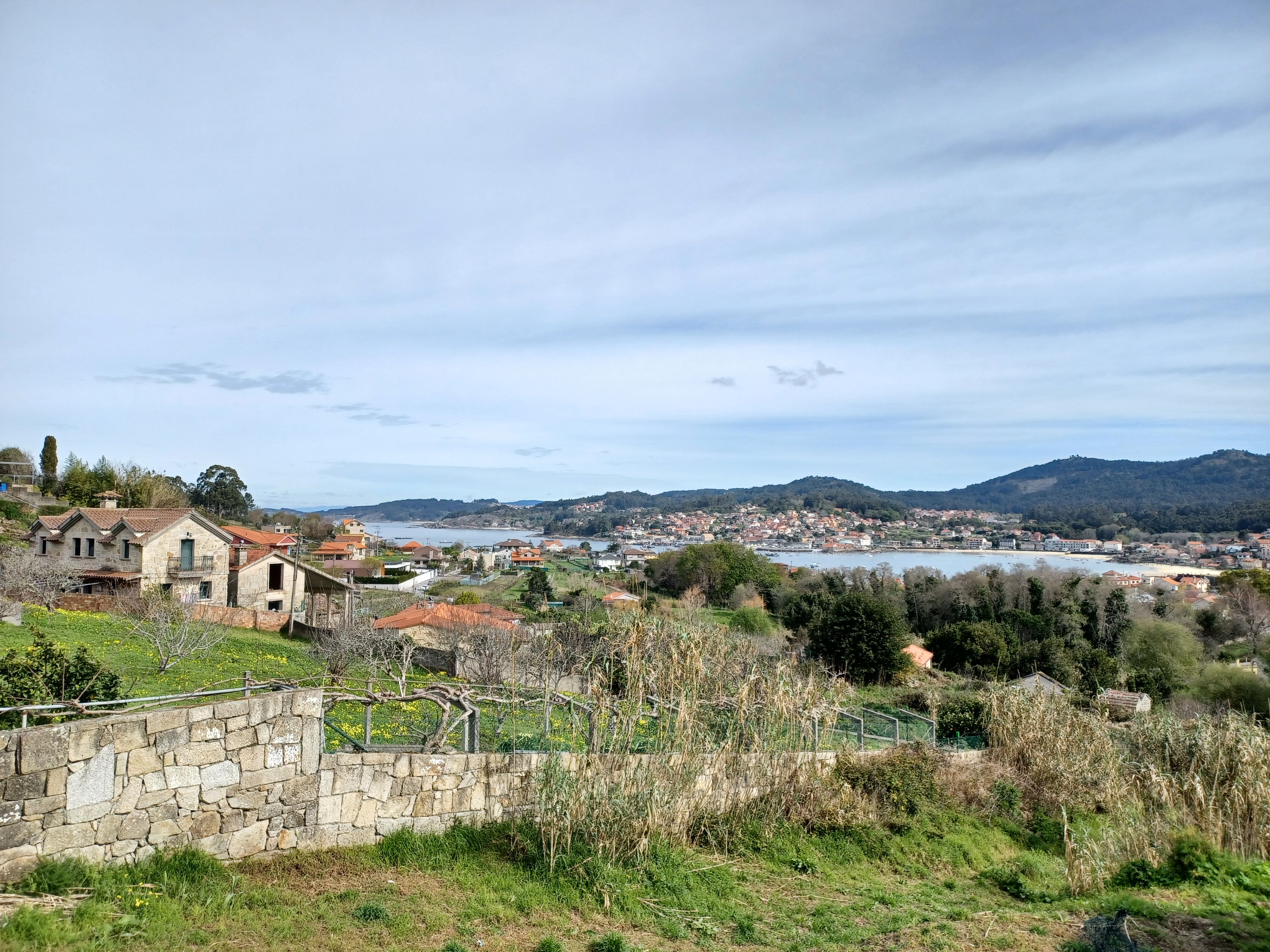
The pueblo extends from a central plaza, which has been completely reclaimed by our fair Goddess, Galicia. This is now mostly blackberries and some tree I am apparently allergic to.
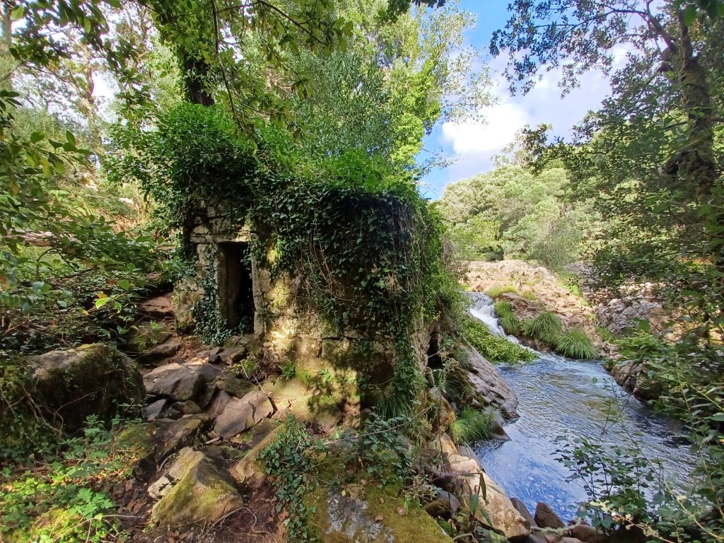
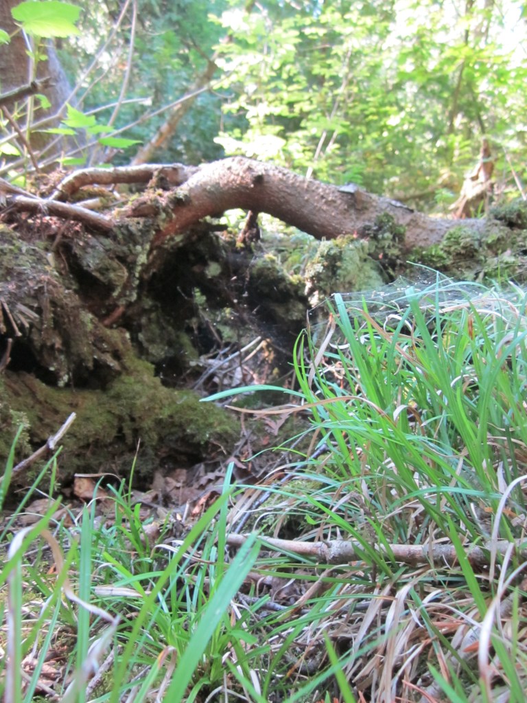
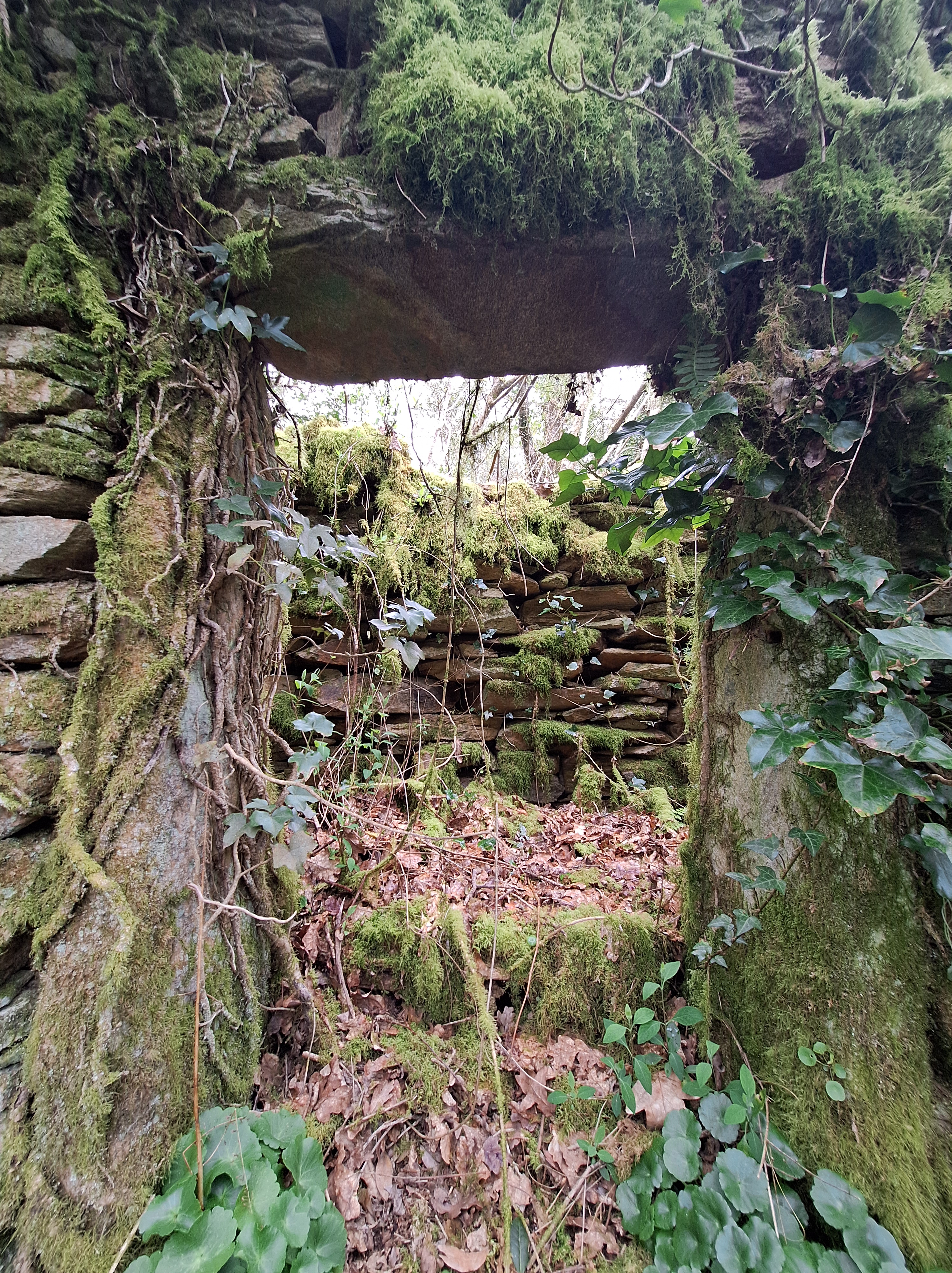
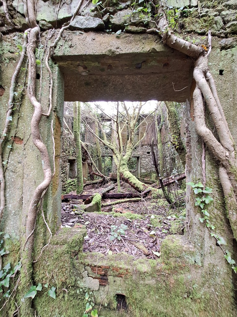
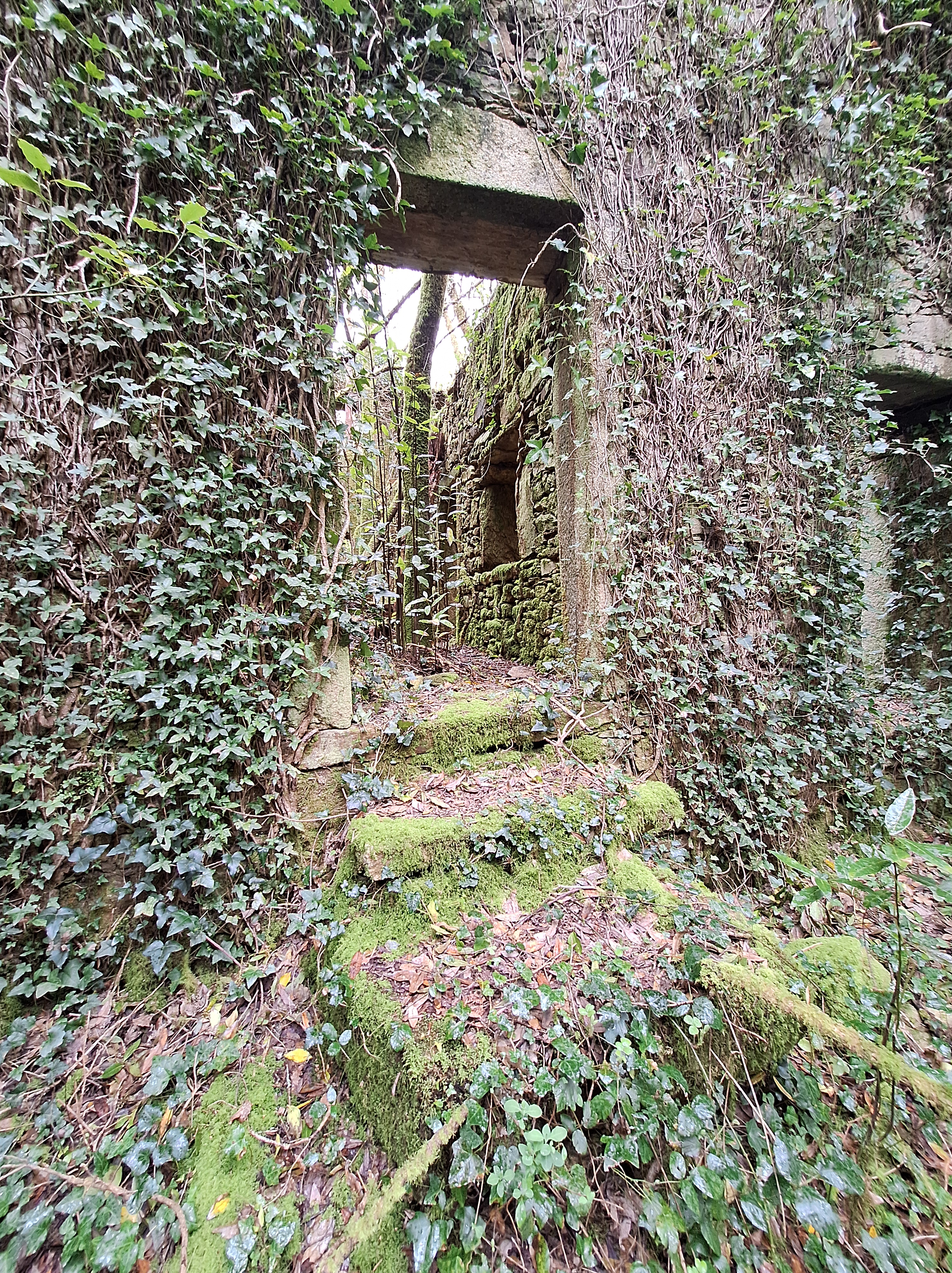
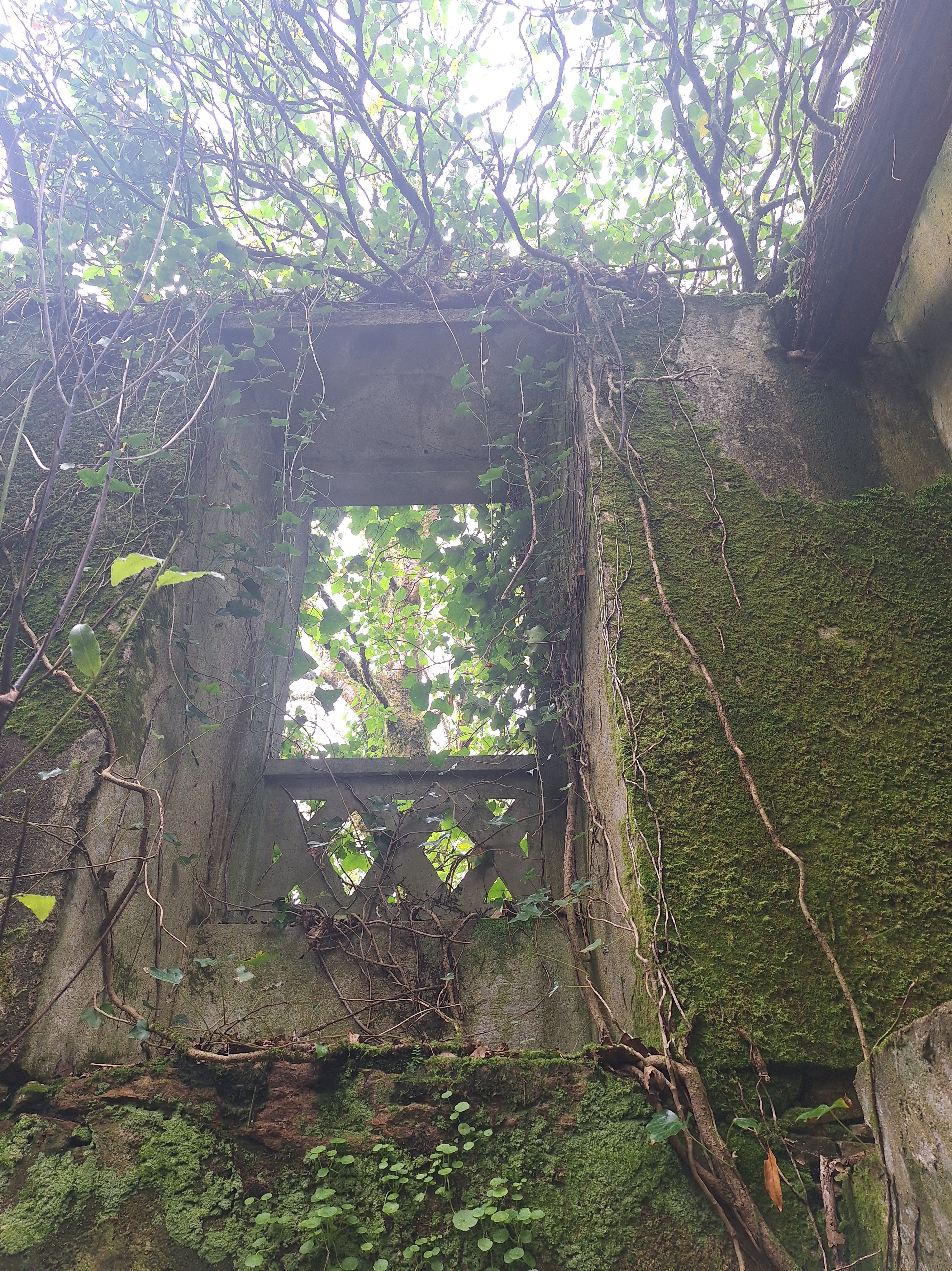
I love stone doorways overgrown with vines. It is like a portal into a fairy world. Some place abandoned in time, lives reclaimed by nature. I do not think there is a more poetic description of life.
Inside two of the homes there are open wells. This is the first time I have seen indoor wells, and it is simultaenously brilliant and a bit terrrifying to think maybe there are others hidden where one might fall.
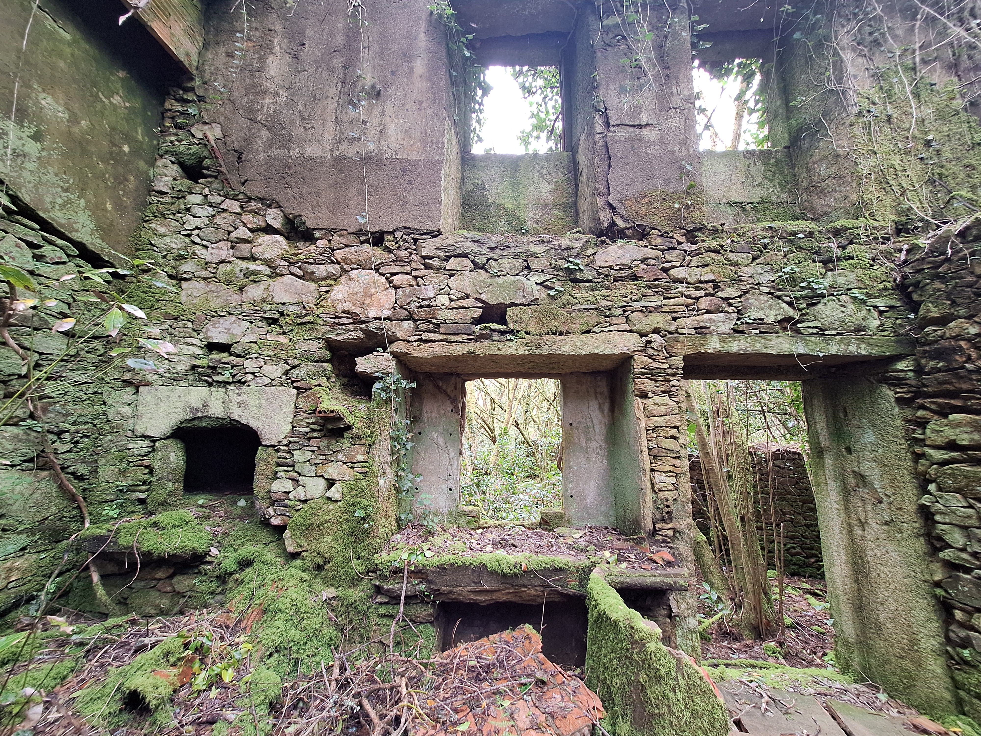
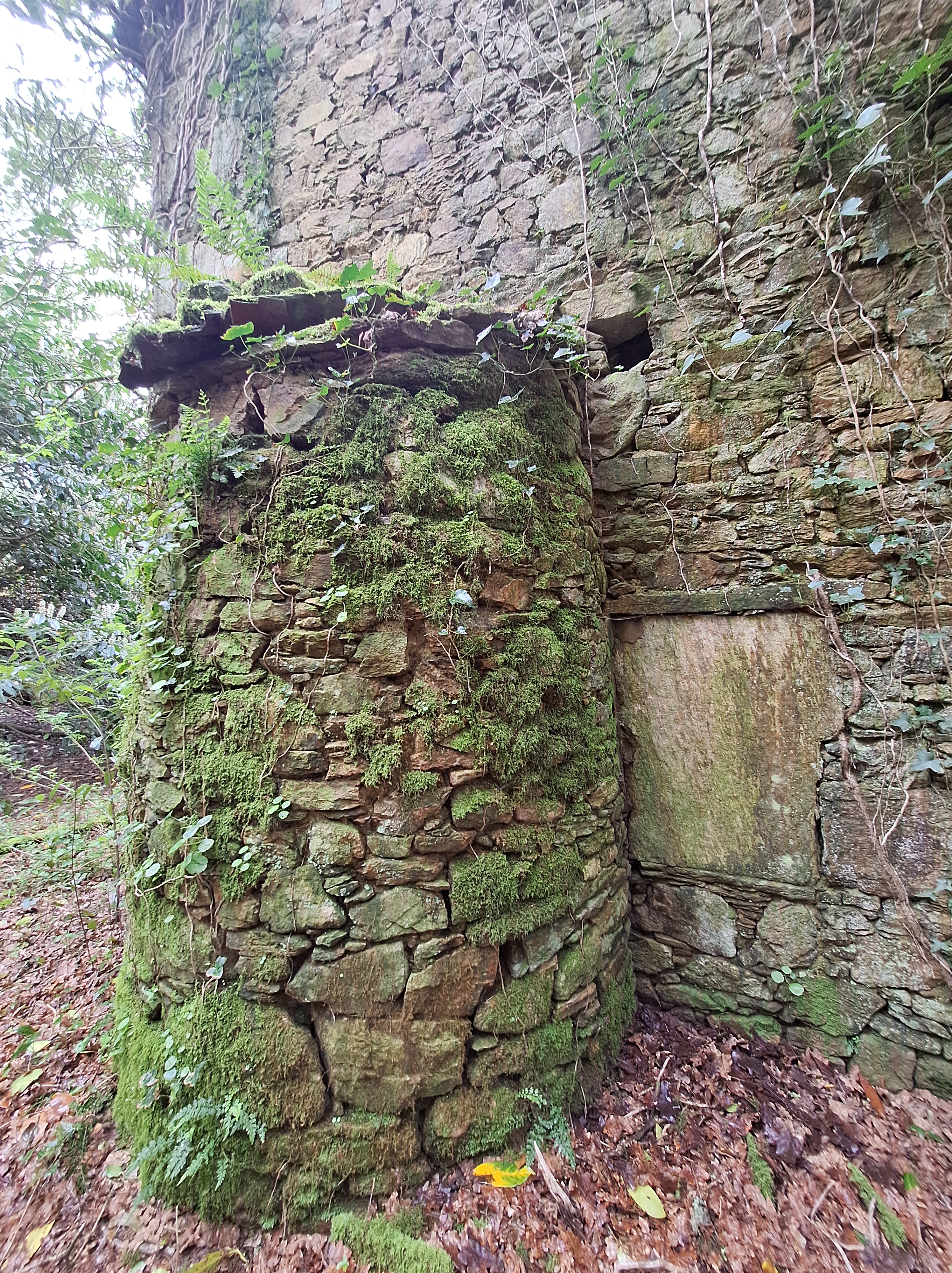
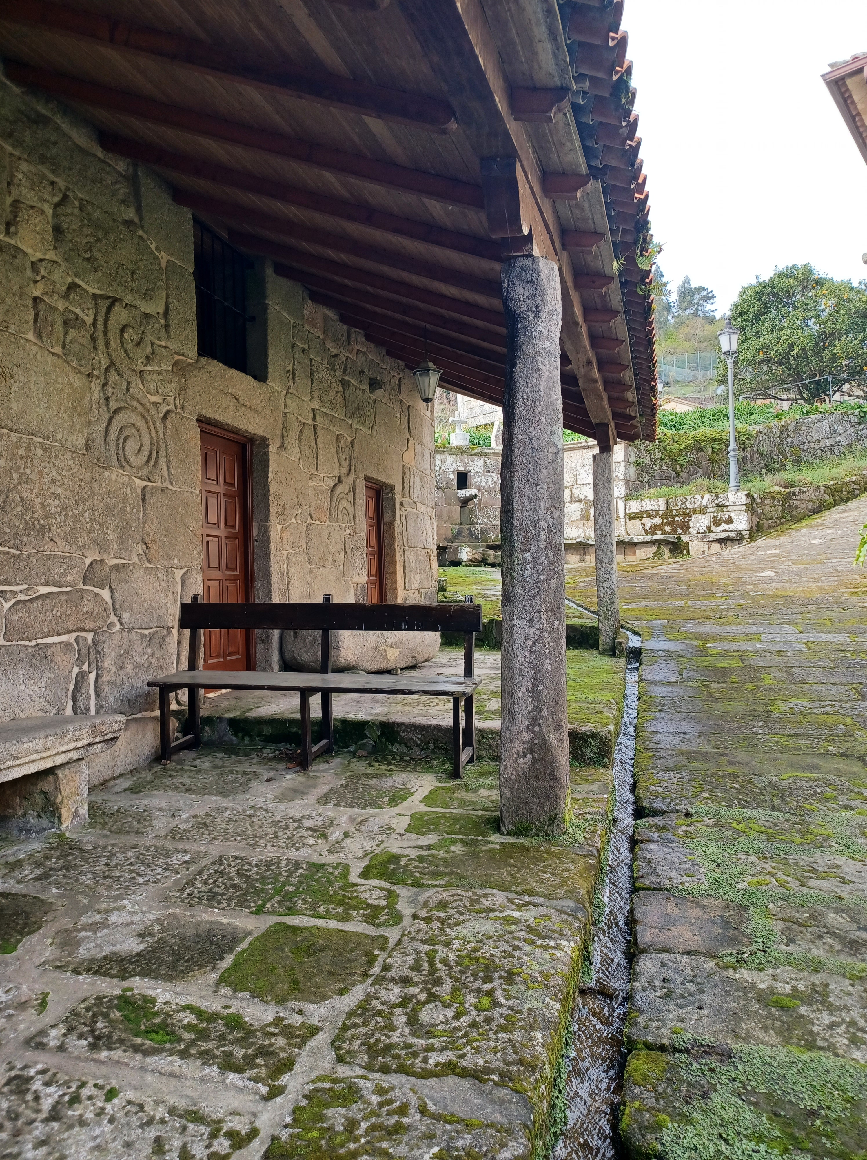
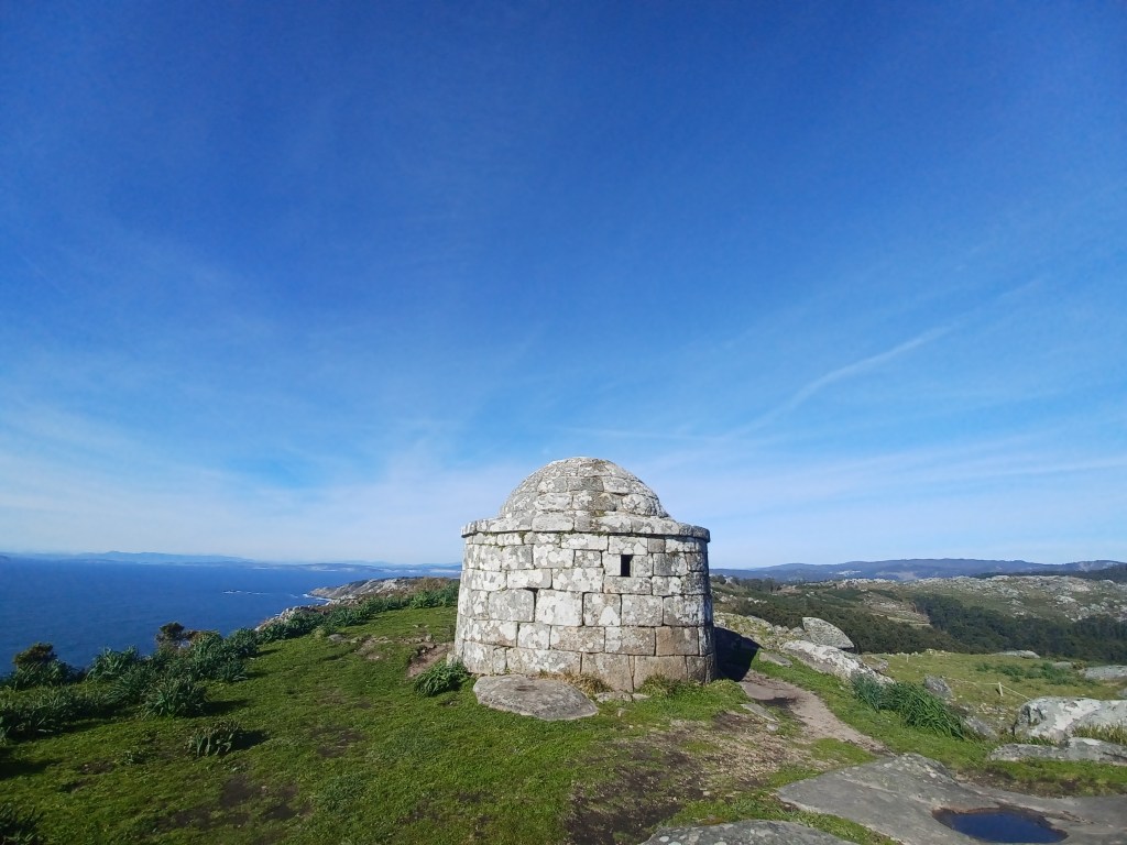
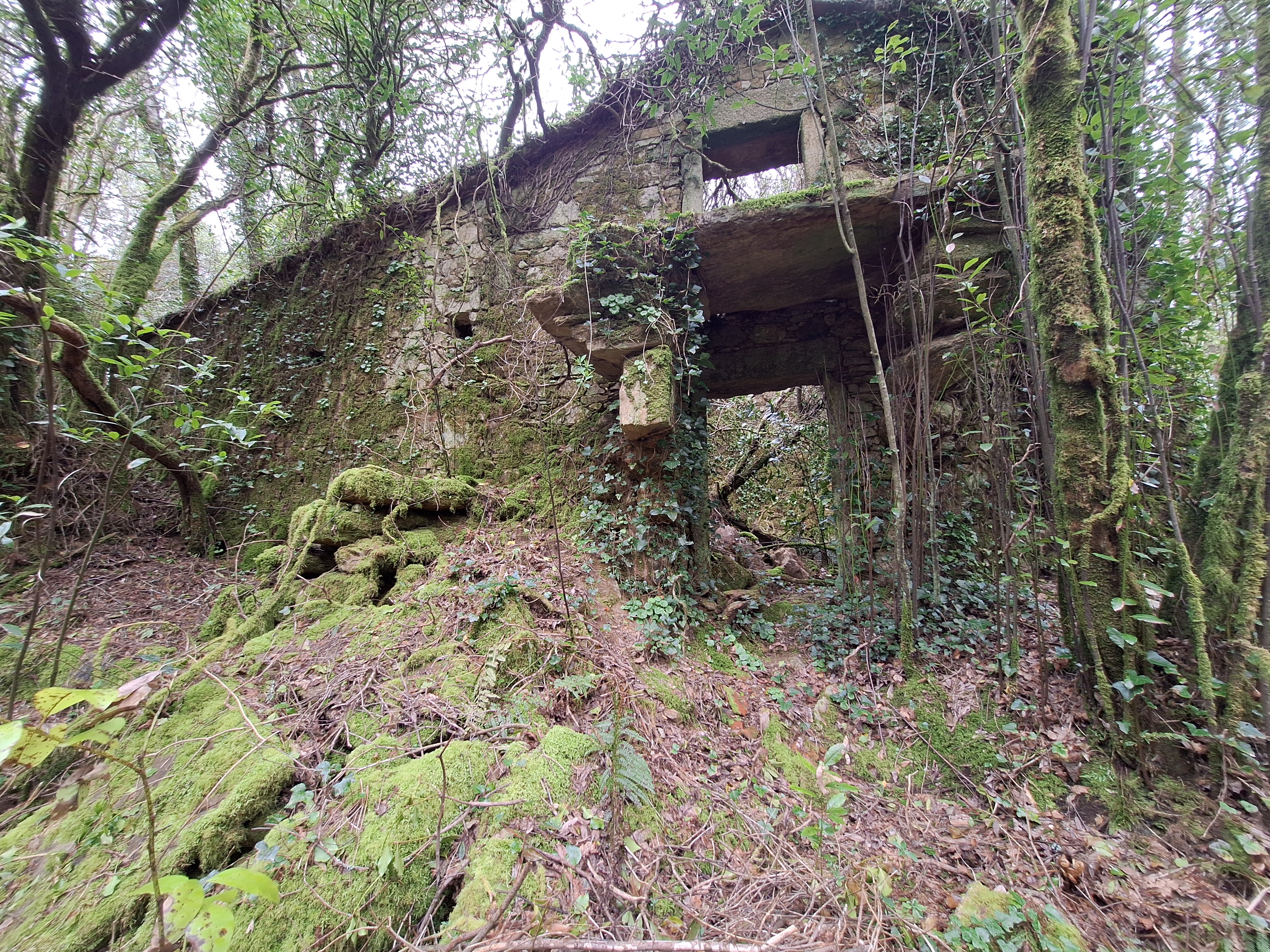
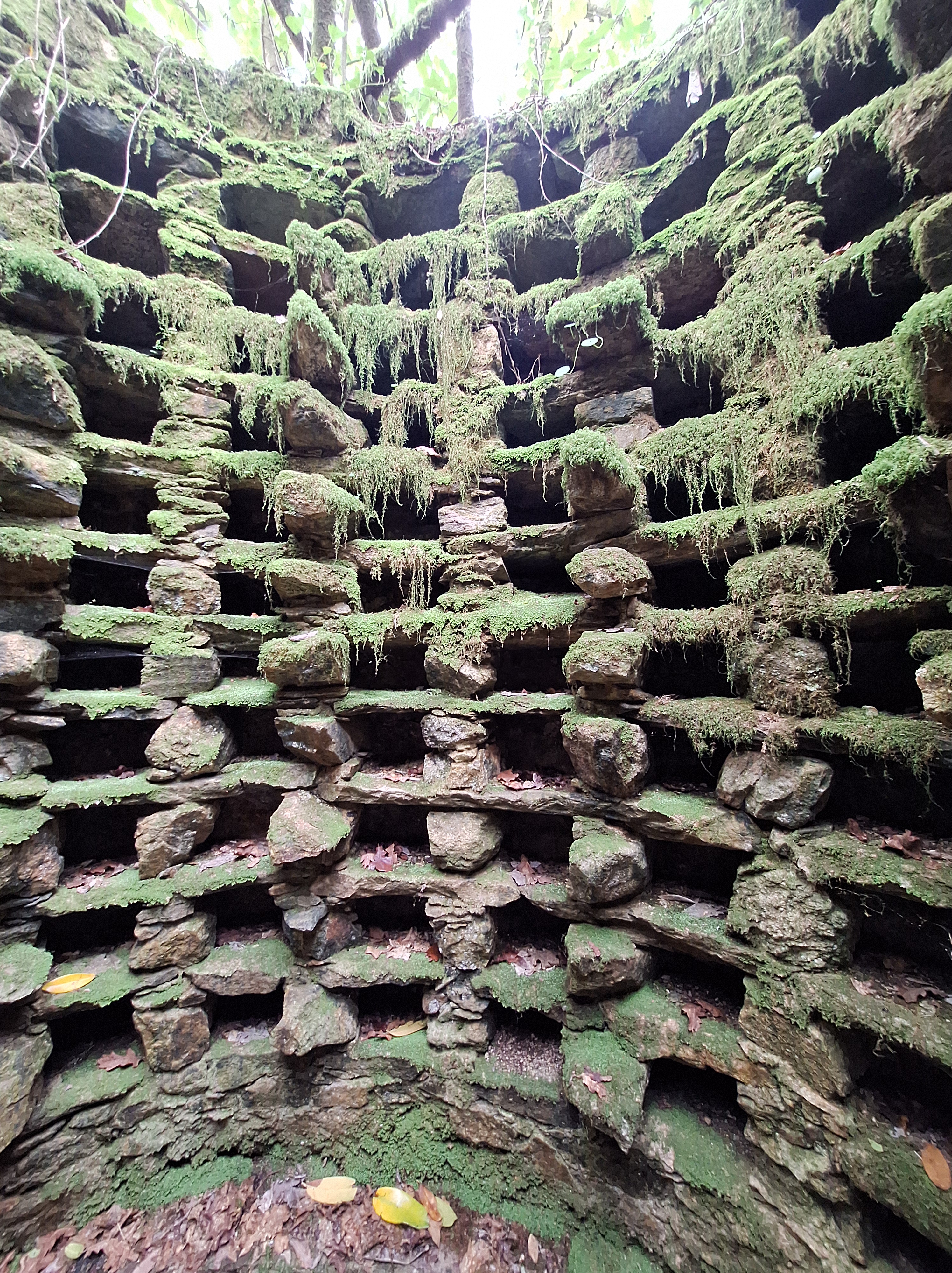
This structure is very well preserved while others are crumbling. You can see the incredible craftsmanship here. The stone walls are flush and flat. The beams on top are made of stone, as are the roofing “tiles” above.
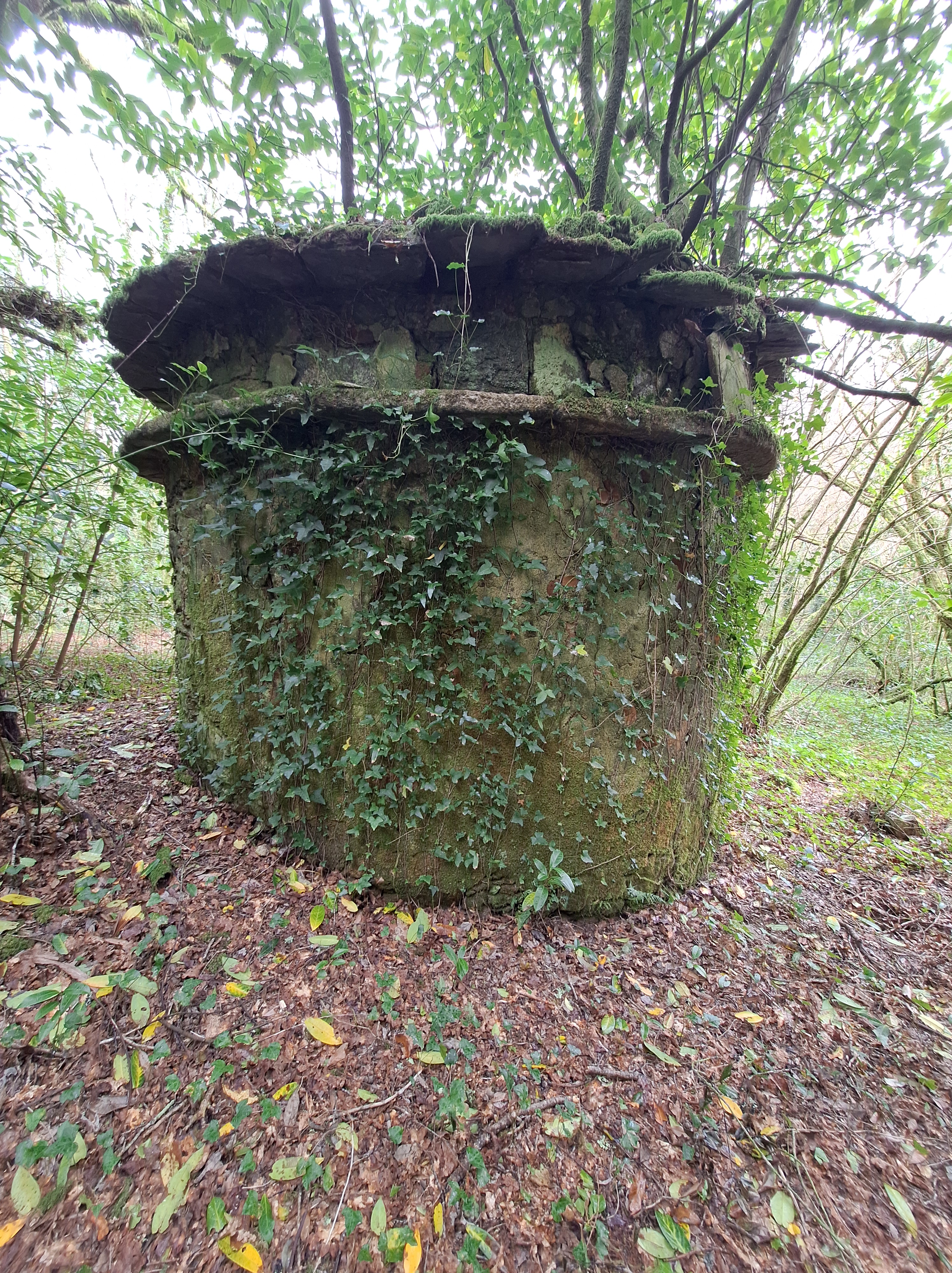
And this gorgeous palomar! It is rare to find one in such spectacular condition. If you can read the door engraving, please let me know.
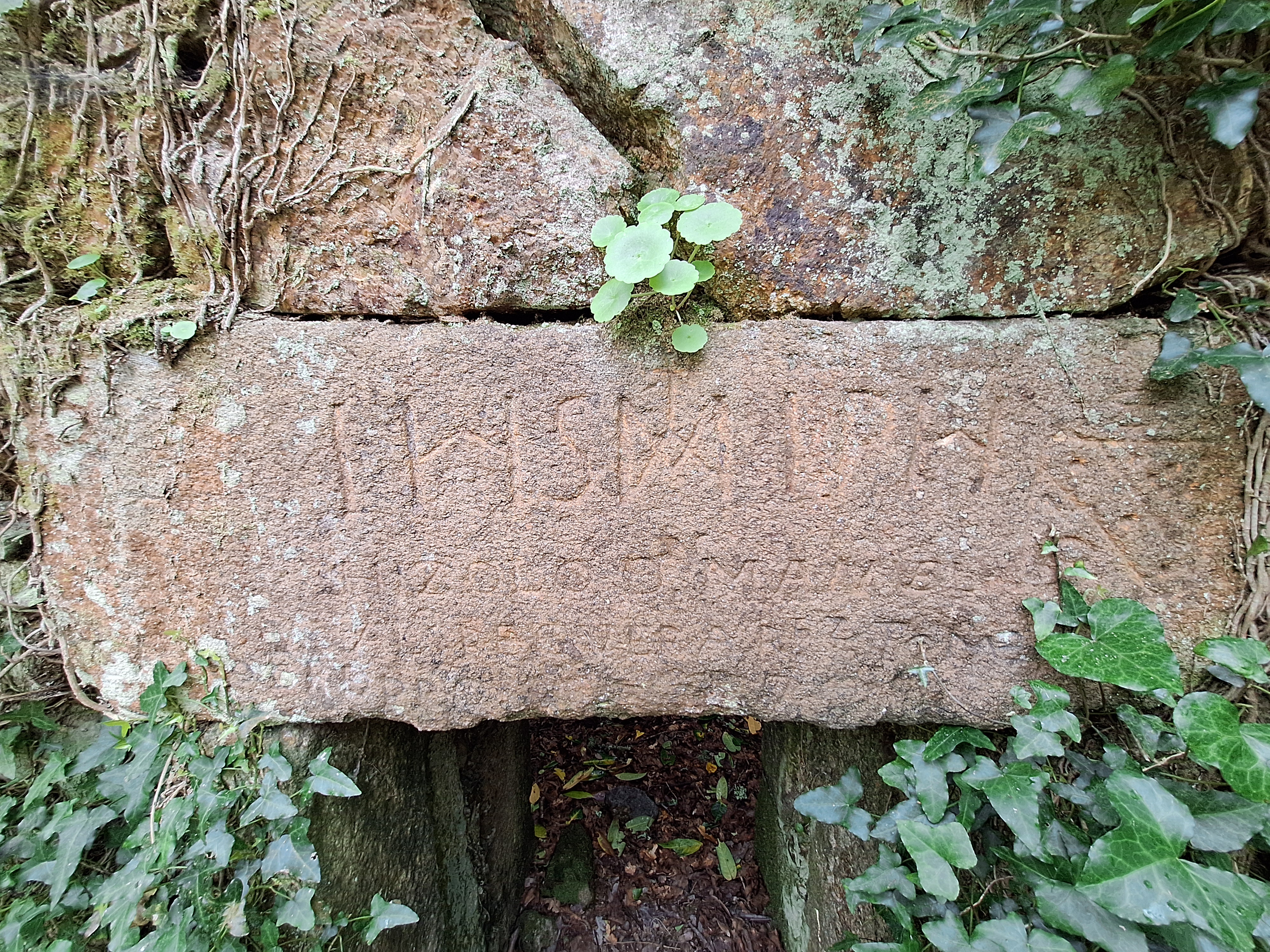
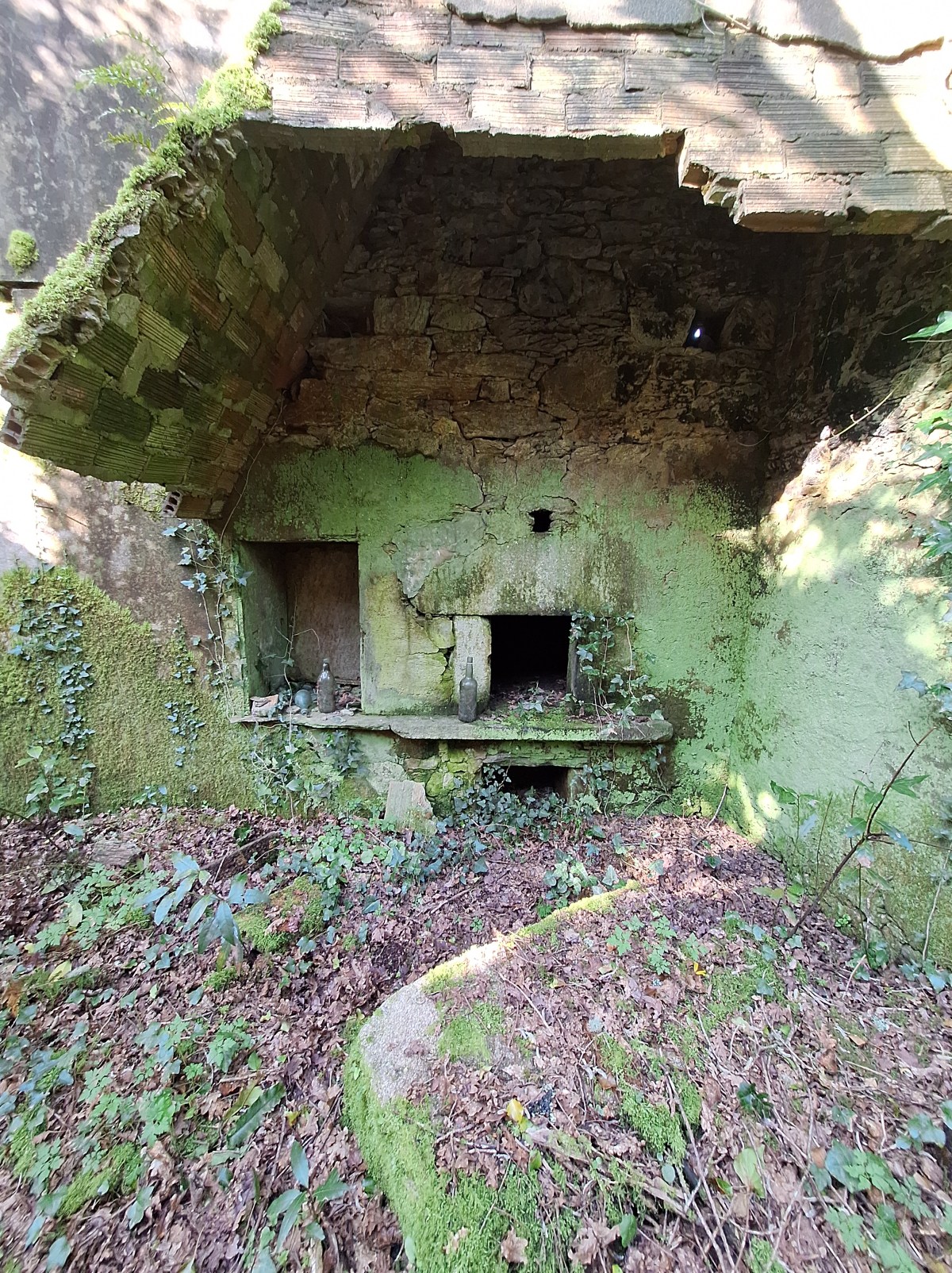
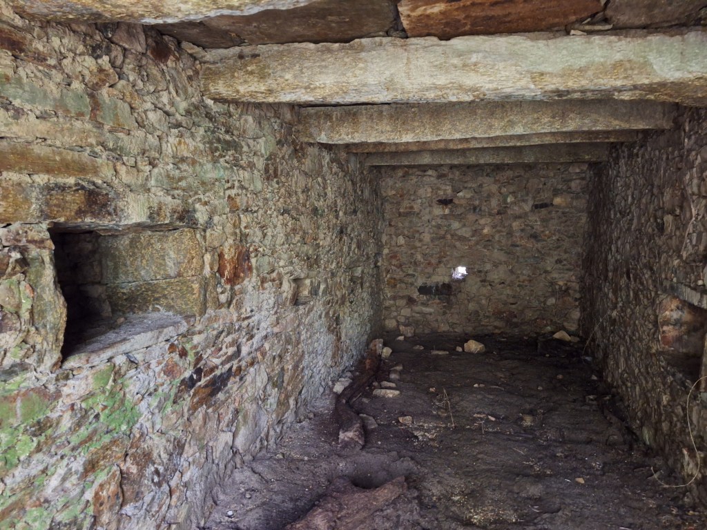
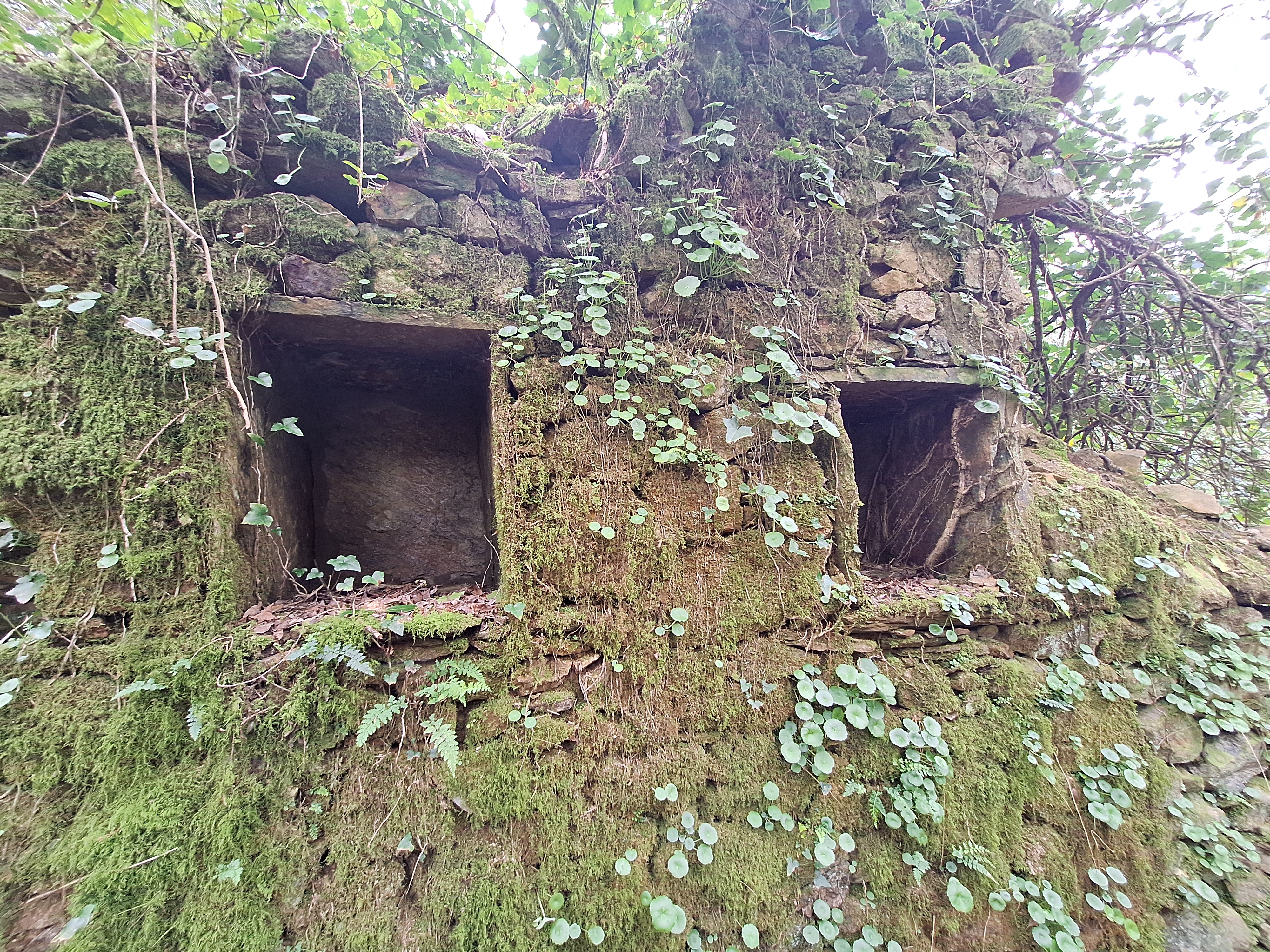
This seems to be a bee door. Some homes around Galicia used to have indoor beehives where bees could land and come in from outside. A wooden door in the kitchen enclosed the hive until people were ready to take honey. At this point, residents would smoke the bees out of the hive, and open the honey pantry.
While there are several near identical cupboards in the walls, this one is just ever so slightly different. There small opening in the stone panel that forms the outer wall. On the outside, there is a flat stone just below the hole that is likely a little bee landing pad where they could stop before entering their private door.
Traveling around the village, you can almost imagine faeries or forest spirits cooking moras in the green kitchens.